Transforming wastewater tax management with AI in Germany
City of Cologne employs AI to make sure property owners get a fair assessment of wastewater runoff taxes

The challenge
Stadtentwässerungsbetriebe Köln (StEB Köln), Cologne, Germany’s municipal wastewater management company, is responsible for managing and optimizing the city’s drainage system and providing accurate assessments for wastewater runoff taxes to property owners.
Previously, StEB Köln relied on manual data collection, a process that was both time consuming and prone to errors. It used eight separate systems for data collection, which was labor intensive, with data collection projects taking years to complete. Additionally, property owners rarely report the addition or removal of paved areas, which required StEB Köln to collect and record data manually, then go back and validate the information with property owners.
The solution
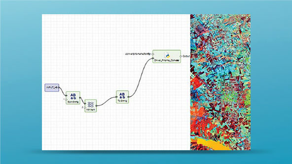
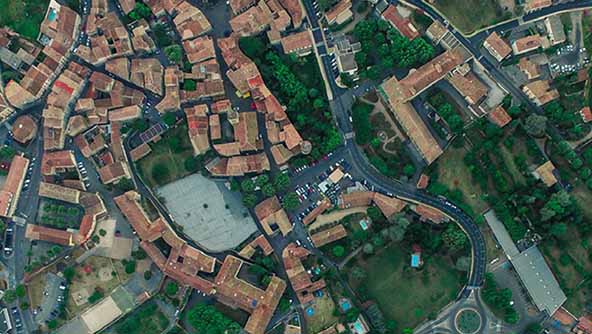
StEB Köln chose Hexagon’s GeoAI solution, automating the detection and classification of paved and unpaved surfaces. It combines high-performance airborne imagery, LiDAR mapping and advanced AI capabilities to analyze aerial photos of each parcel of the city’s 400 square kilometers and determine with precision where pavement was added since the last survey. It automatically identifies and classifies property surfaces using raw images (with overlaps) from aerial sensors and recognizes obstructions. Resulting data is made available in StEB Köln’s enterprise GIS via an interface based on OGC standards.
Employing the GeoAI solution, Cologne achieved 95% or higher data accuracy as compared to manual reports, but in a fraction of the time. This marked a significant shift from manual data collection to an automated approach, dramatically improving operational efficiency while maintaining high accuracy.


