Automating photogrammetry analysis for orthophoto maps
Romania’s National Center for Cartography uses the Integrated Cartography Data Management System, created by ICS Romania and built on multiple Hexagon technologies
The challenge
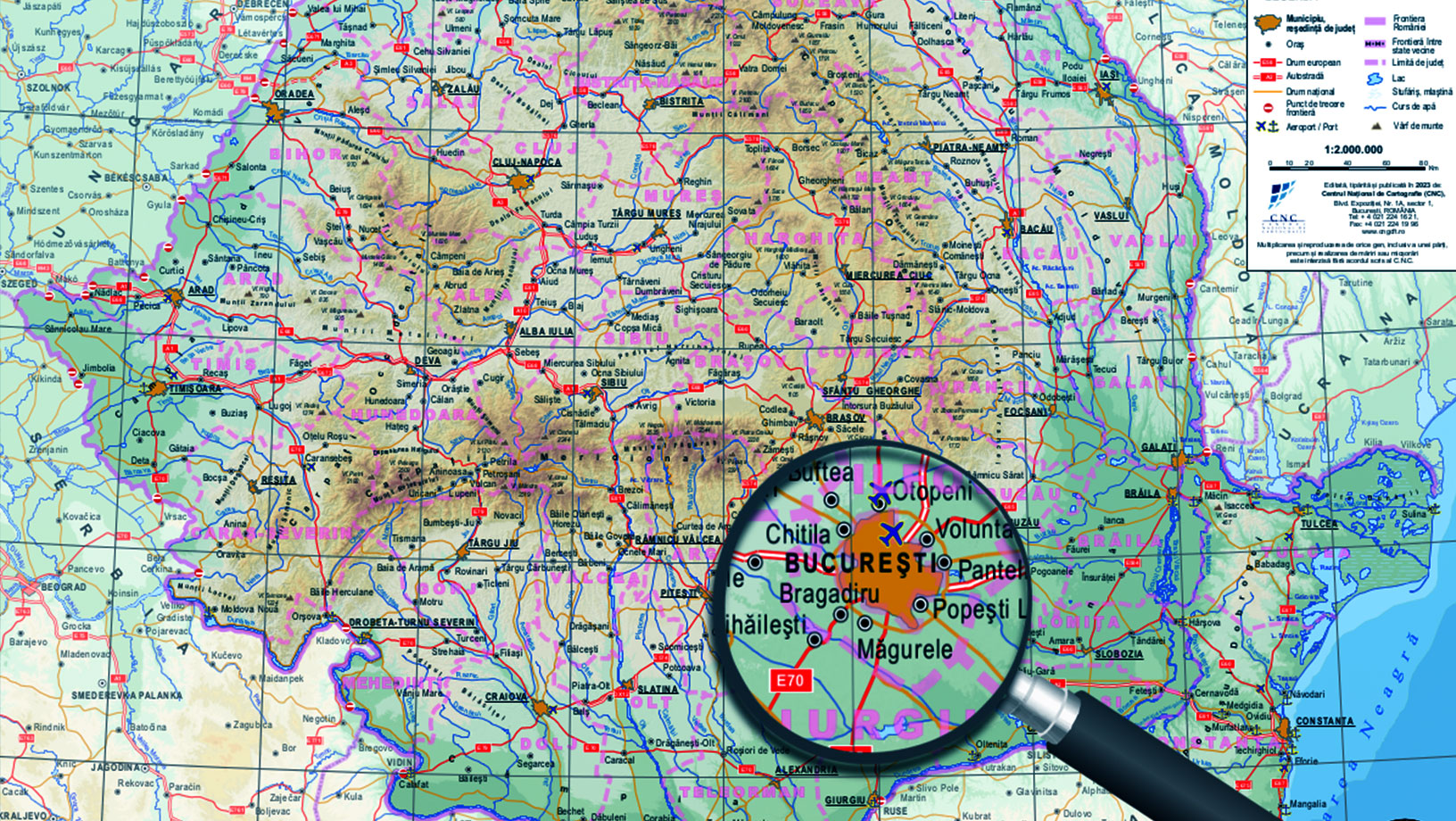
Romania’s National Center for Cartography (CNC) is the cornerstone of the country’s cartographic and land management infrastructure. The CNC plays a pivotal role in a project aimed at creating high-quality, true orthophoto maps, DTM, DSM and a 3D mesh of each of Romania’s 320 cities.
The CNC needed to manage a substantial amount of cartographic data to map Romania’s cities. Because of the manual workflow, the quality of the orthophoto maps was inconsistent and sharing the maps with other organizations was difficult. The CNC needed a new solution and turned to Hexagon partner Intergraph Computer Services (ICS) Romania, which created the Integrated Cartography Data Management System, built on multiple Hexagon technologies.
The solution
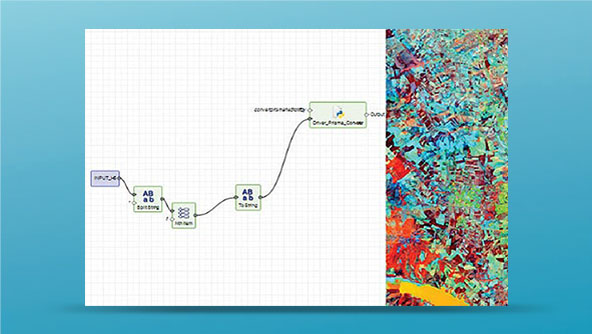
ICS Romania delivered a solution built on Hexagon’s M.App Enterprise, ERDAS APOLLO, ERDAS IMAGINE and LuciadFusion: the Integrated Cartography Data Management System. The new system has a centralized shared workspace, which enables photogrammetry data providers to submit and validate data quickly and efficiently.
By centralizing data submission and validation, the CNC has realized a reduction in redundancies and errors, leading to lower operational costs. Overall, the CNC reduced manual processes by 97% and has seen an 80% reduction in the time required to process and validate photogrammetric data submitted by imagery providers. Efficiencies gained through the system implementation have accelerated project completion and freed up resources that can now be used to deploy personnel and financial investments more appropriately.
Learn more
Also explore
M.App Enterprise
ERDAS APOLLO