Hexagon's Infrastructure & Geospatial business area
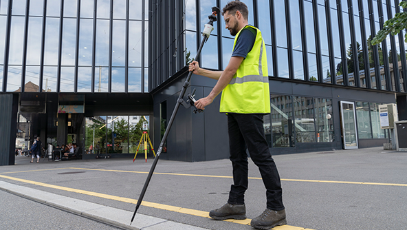
Expertise and innovation in reality capture technologies

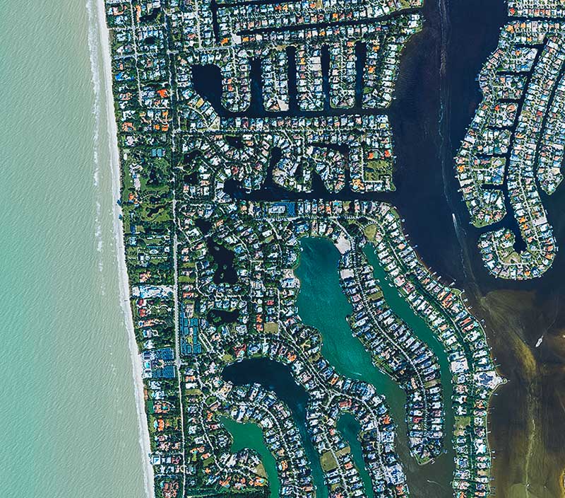
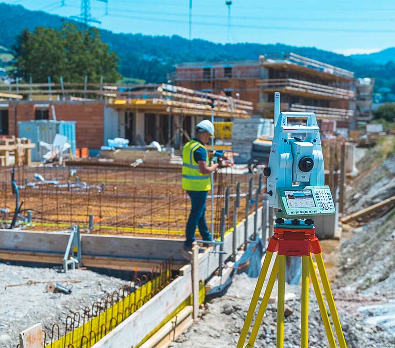
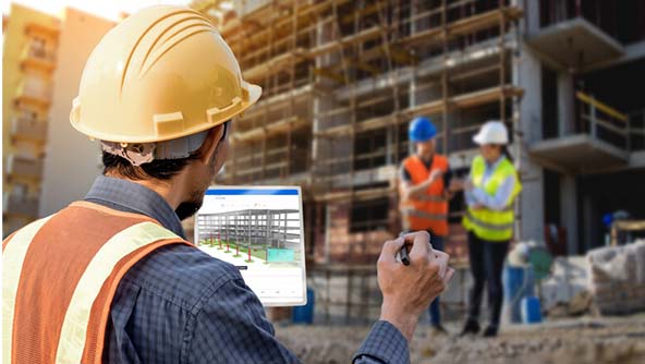
Advancing the buildings ecosystem
Hexagon’s building solutions are changing the way buildings are planned, designed, constructed and utilised through data.
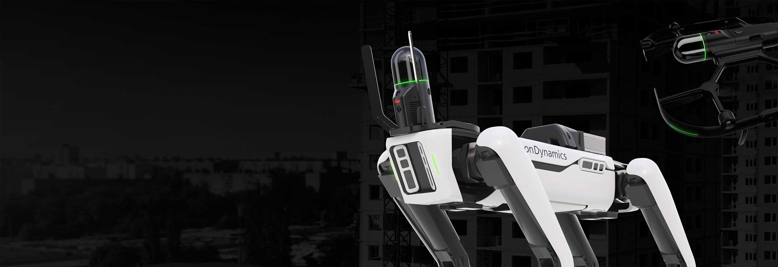
The BLK series goes autonomous
BLK2FLY and BLK ARC provide fully autonomous mobile reality capture.
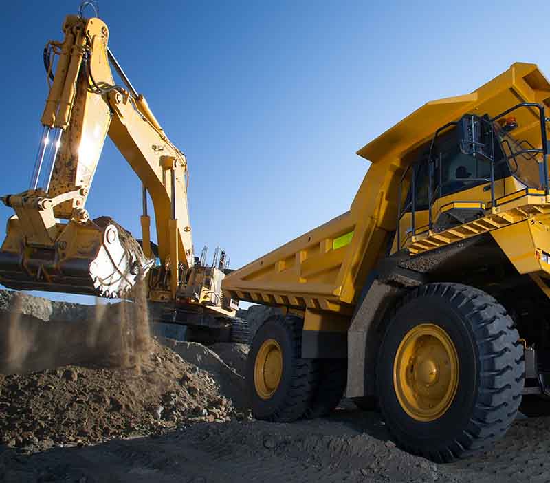
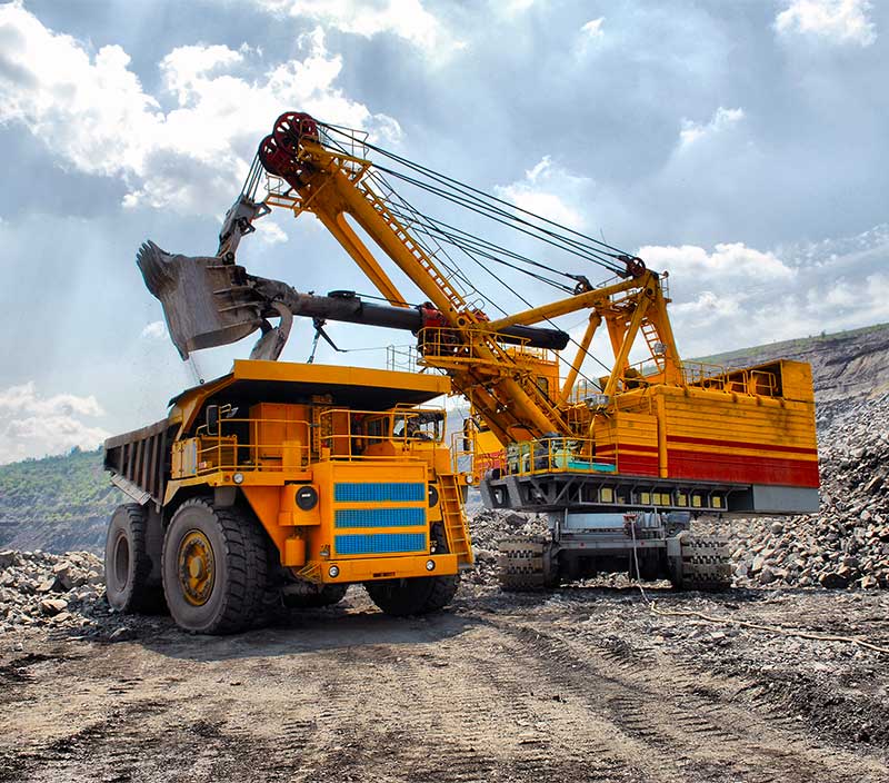
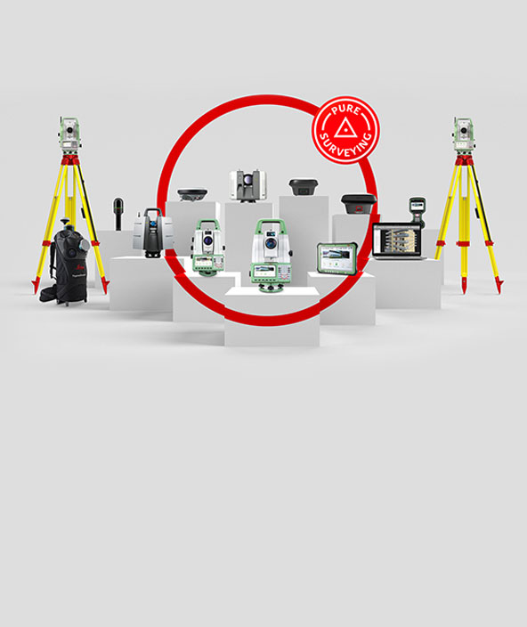
Explore our heavy construction portfolio
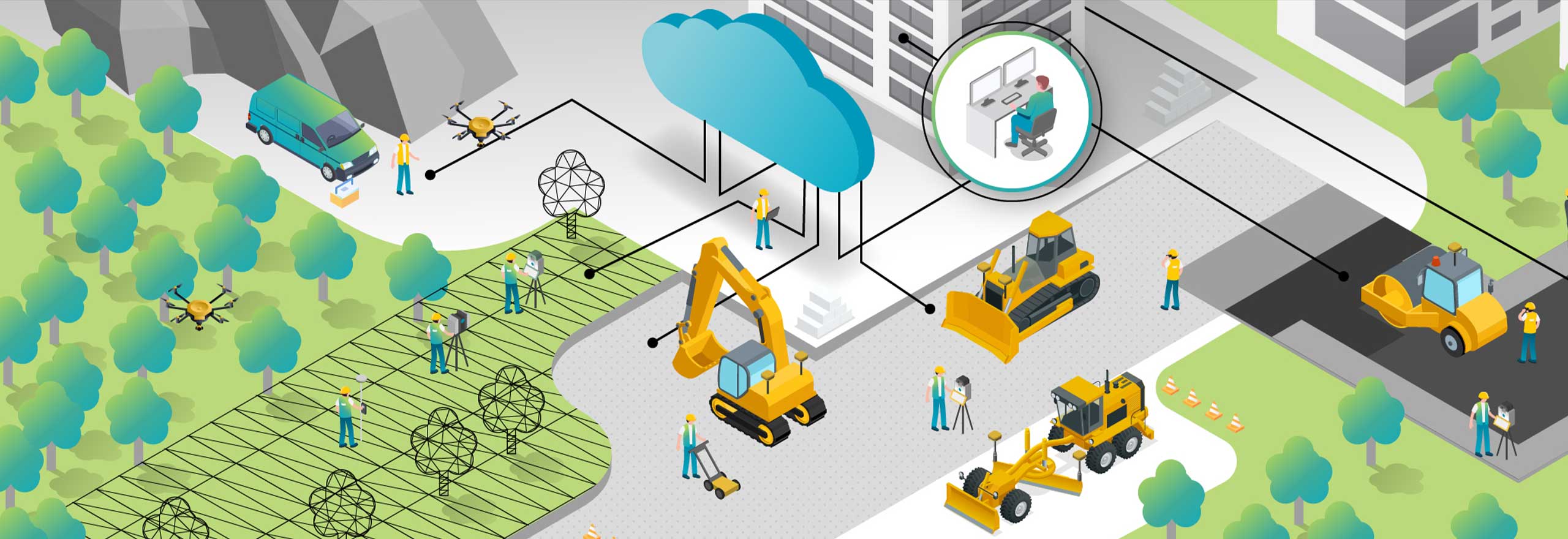
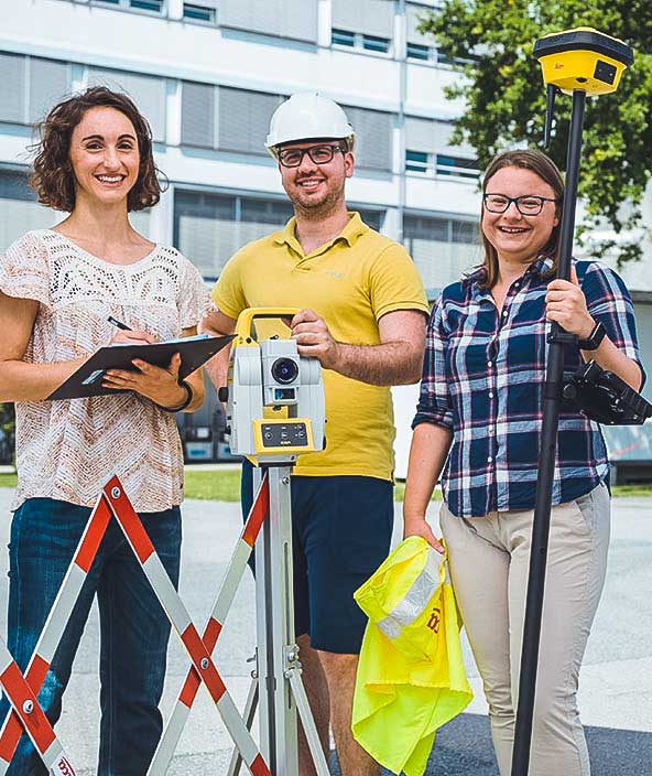
Discover our dirt simple, seamless, collaborative Infrastructure & Geospatial technologies.

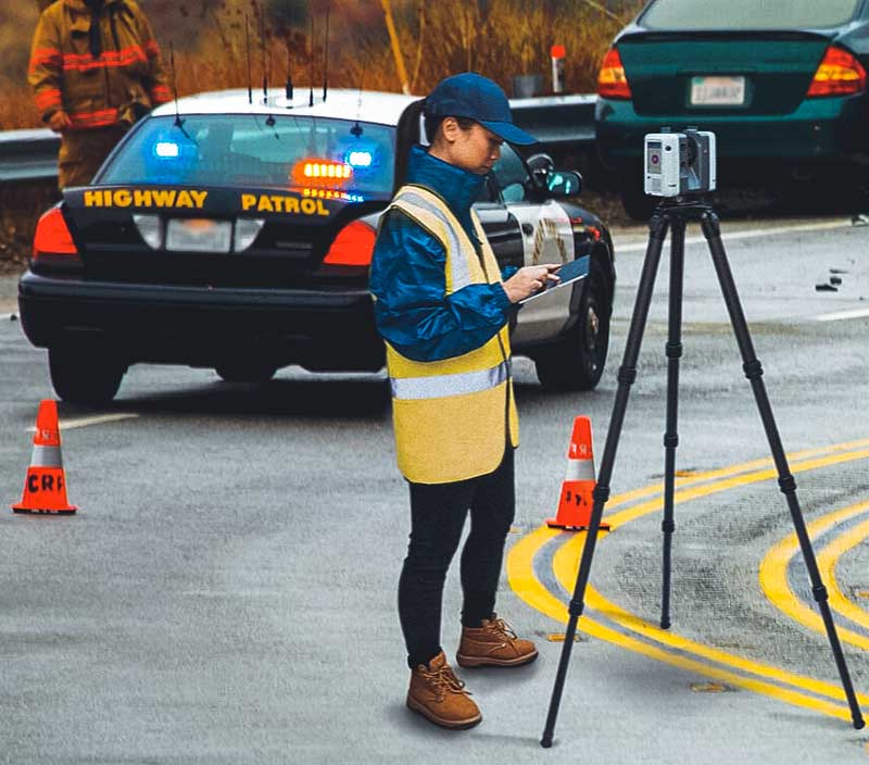
Public safety, security and forensics
Contact our expert team for peer-to-peer advice and tailored solutions.
Hexagon’s Infrastructure & Geospatial business area provides a comprehensive portfolio of digital solutions that capture, measure, and visualise the physical world and enable data-driven transformation across industry ecosystems. Our reality-capture technologies create digital worlds from different views, whether a single dimension between two walls in a house, cadastral boundaries of properties or 3D shapes of cities, infrastructures, utilities, entire countries or even crime scenes. These digital worlds provide actionable information vital for understanding, planning and execution. During execution, Infrastructure & Geospatial positioning, guiding and visualisation solutions empower users to work with the highest efficiency and quality.


-
 FeaturedProduct
Hexagon’s Deviation Analysis automates quality assurance by comparing as-built scan data to 3D design models, detecting deviations, predicting clashes, and providing actionable insights to improve construction accuracy and reduce rework.
-
×Conditional autonomyAutomatically identifies construction deviations and predicts clashes using AI-driven scan data for proactive quality assurance and insights.
-
 FeaturedProduct
The Leica AP20 AutoPole is a productivity-boosting smart solution for robotic total stations with three powerful features.
-
×Partial autonomyIMU calibration and automatic calculation of pole tip coordinate, pole height reading and target search and tracking.
-
-
 FeaturedProduct
The BLK360 SE is a lightweight, compact imaging laser scanner, perfect for small size reality capture projects.
-
 FeaturedProduct
Hexagon's innovative solution HxGN Smart Build™ Insight is crafted for the AEC industry to optimise building design.
-
×Partial autonomySmart mapping of the 3D model with the schedule to visualize the build sequence and monitor progress in a 4D BIM environment
-
-
 FeaturedProduct
Leica GS18 I GNSS Smart Antenna with Visual Positioning enables the capture of site data and images, and measure from them.
-
×Partial autonomyAutonomous GNSS signal utilization, IMU calibration, and image feature detection enable survey-grade measurements in images.
-
-
 FeaturedProduct
A cloud-based visualisation and collaboration tool for spatial data and services that creates digital twins of the world.
-
×High autonomyHxDR creates accurate digital representations of the real world through the autonomous fusion of reality capture data.
-
-
 FeaturedProduct
A complete mobile mapping solution from a single provider, including software to capture, post-process, and store acquired data.
-
×Human-Assisted autonomyTravel along a route and activate specific functions to automate data capture.
-
All products


Latest news
Read moreAGTEK introduces Reveal Transform: AI‑powered data preparation for faster, smarter takeoff and production tracking
26 February 2026
Making structural health monitoring scalable: IDS GeoRadar launches MyMO – a portable device for fast, non-contact monitoring
17 February 2026