Laser scanning
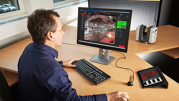
Capture reality with a wide range of laser scanning sensors and use industry-leading software to capture, prepare, manage, and deliver point cloud data seamlessly.

Leica RTC Series
Introducing a new dimension in reality capture and a new way of working for 3D laser scanning.

Leica BLK360 SE Essentials
Scan, process, and model point clouds easily with integrated hardware and software for seamless reality capture.
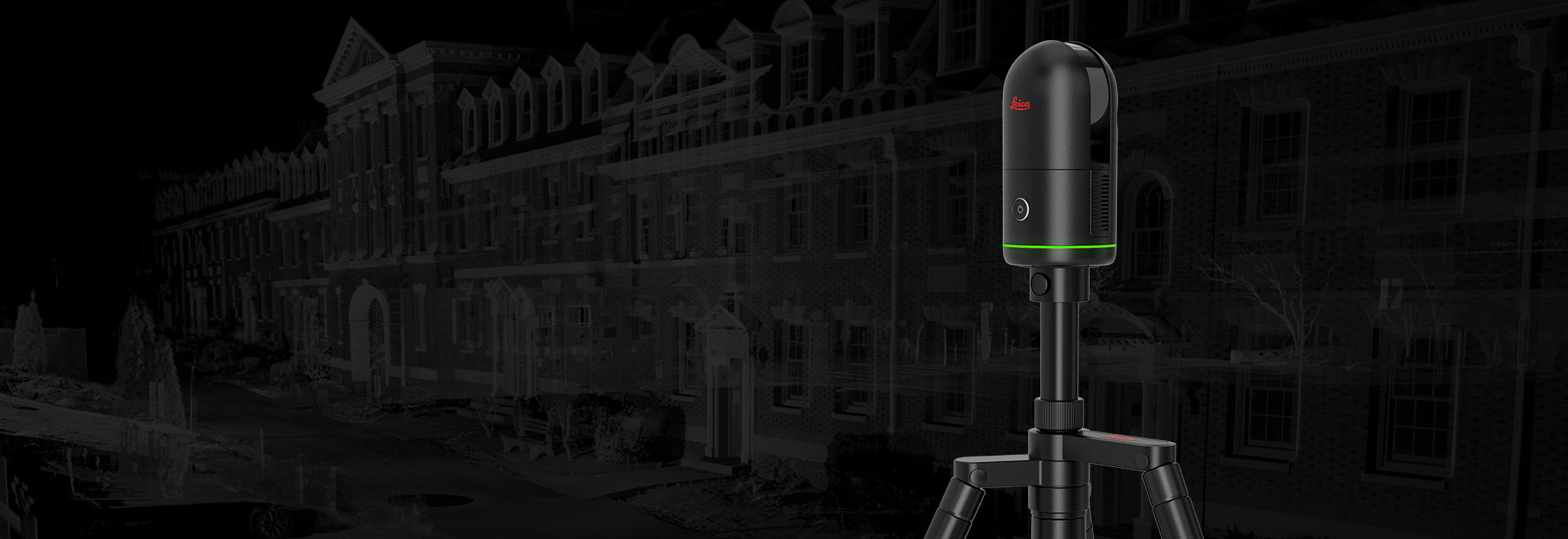
The all-new Leica BLK360: capturing reality in less than 20 seconds
Introducing the world’s smallest and lightest imaging laser scanner, providing up to four-times faster scanning speed

Hexagon RealSLAM 20 Pro: Move fast. Scan smart. Trust your data.
Capture 3D data on the move with RealSLAM 20 Pro, the modular handheld scanner built for long days on site. Scan confidently with in-field visualisation, up to five-hour runtime and flexible set-ups for handheld, pole or backpack use.
Ready to get started?
-
 Portfolio
Delivering outstanding range, speed and highest quality 3D data, Leica Geosystems’ laser scanners are the perfect partner for any task.
-
 Type
TypeSetting the industry standard to capture, visualise, extract, analyse, share and represent point cloud data.