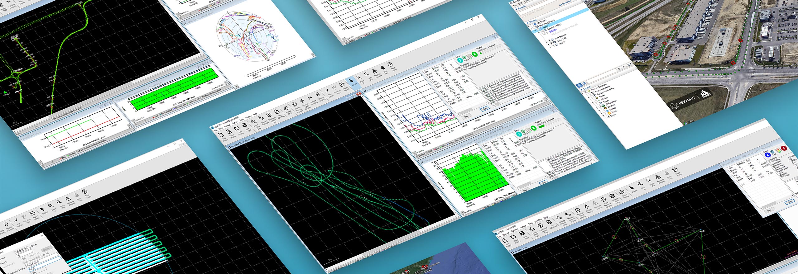
GNSS+INS post-processing
Waypoint software builds on decades of NovAtel positioning expertise to leverage data with unmatched confidence for users requiring a source of truth for their post-mission position, velocity and attitude trajectories.
Try a free trial of Waypoint software
Request a free trial of one of our Waypoint post-processing software options to try today.
Ready to get started?
Talk to an expert and discover what Hexagon can do for your organization.
-
 Product
NovAtel's Waypoint post-processing software provides the ability to analyse position, velocity or attitude.
$ProductName
$SustainabilityImpactLabel
$GreenGoalsLabel: $GreenGoalsContent
$ShortDescription
$SustainabilityCTABandHeadingLabel
$SustainabilityCTABandDescriptionLabel