Airborne solutions
Integrated airborne sensors and processing workflows offer complete solutions to address your specific application needs.

Leica TerrainMapper-3 LiDAR system
High-performance LiDAR for flexible mapping applications

Leica CountryMapper hybrid system
Maximum imaging & LiDAR productivity for large-area mapping

Leica MultiMapper hybrid system
Compact, easy to deploy, versatile

Leica CityMapper-3 hybrid system
Superior efficiency for urban and regional mapping
Ready to get started?
Talk to an expert and discover what Hexagon can do for your organization.
-
 Category
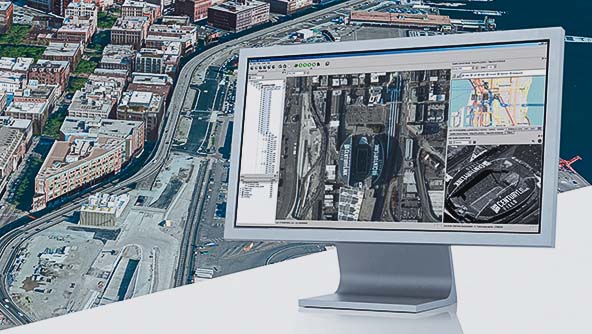
Leica Geosystems' comprehensive airborne software provides the highest productivity for mission planning and data processing.
-
 Category
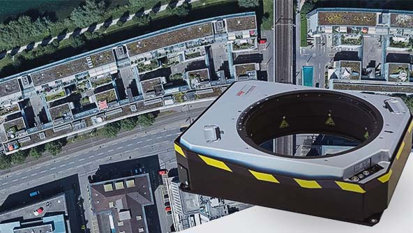
Leica Geosystems airborne solutions offer sensor technology and processing workflows for efficient mapping.
-
 Category
Leica Geosystems high-performance sensor mounts provide precise stabilisation during flight for the best data quality.
$ProductName
$SustainabilityImpactLabel
$GreenGoalsLabel: $GreenGoalsContent
$ShortDescription
$SustainabilityCTABandHeadingLabel
$SustainabilityCTABandDescriptionLabel