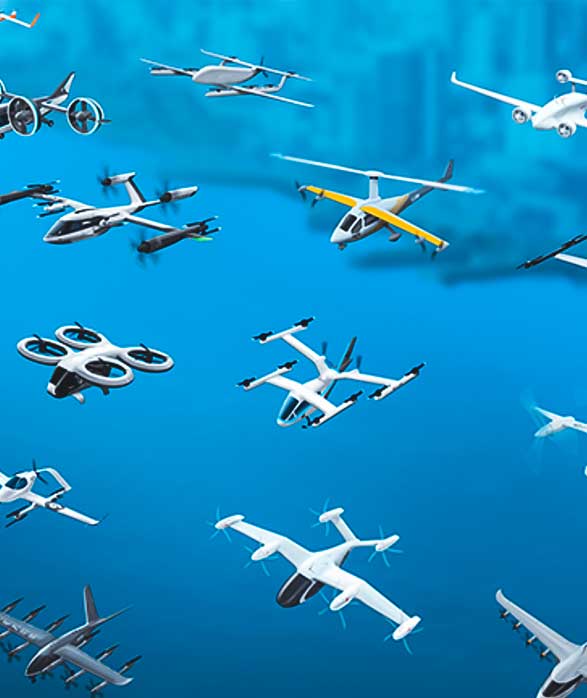
Unmanned aerial vehicles (UAVs)

Optimising efficiencies in UAV development
Leveraging digital technologies in the development of unmanned aerial vehicles.
Ready to learn how Hexagon's capabilities can empower your business?
The range of UAV applications is growing rapidly from military to deliveries. Bringing innovation through digital transformation, Hexagon’s UAV technology supports the manufacturing efficiency and autonomous operation of UAVs, empowering the development of more useful and capable drones. With Hexagon’s portfolio of data-centric digital solutions, the potential of UAVs can take flight.
Explore capabilities
-
Manufacturing
-
Autonomous mobility
-
Cities and nations
-
Defence
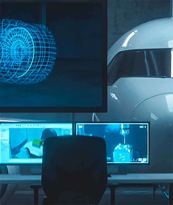
Design and engineering phase
With Hexagon’s innovations in manufacturing technology, users can digitally simulate and optimise product design and engineering to ensure component manufacturability, production productivity and output quality.
Production phase
Maintain a digital thread through production, optimise machine tools, measure environmental variances and prevent downtime with predictive data analyses.
Inspection phase
Automate and digitalise quality measurement with our world-leading metrology hardware and software, creating a bridge between the real and digital worlds.
Digital transformation
Deploy Hexagon’s sensor software systems to transform siloed and disconnected processes into an integrated, data-driven manufacturing ecosystem that captures and creates value across the product lifecycle, enabling new business models and automating workflows to become increasingly autonomous, efficient and sustainable.
Deployment solutions
Deploying autonomous solutions that enable customers to quickly scale from prototype R&D and testing phases to full production in a variety of emerging and fast-paced market segments.
Mapping solutions
Leverage location intelligence with solutions that capture, visualise, analyse and derive insights from location data to address a variety of urban and national challenges.
C4ISR solutions
Deploy high-performance visualisation and analysis applications for C4ISR across air, land, sea and joint battlefield operations and command centre strategies.