Post-processing positioning for mapping applications
Enhance your position, velocity and attitude accuracy with post-processing software.

Waypoint post-processing software
Waypoint is best-in-class GNSS and GNSS+INS post-processing software.
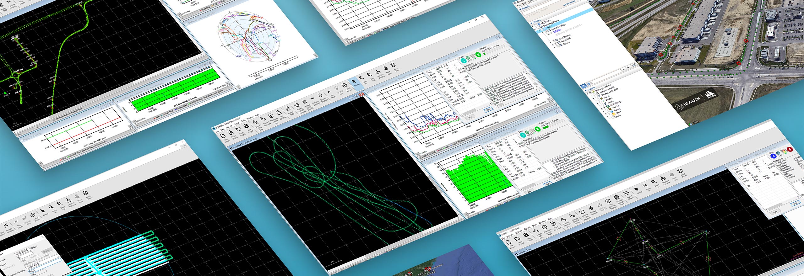
Hexagon’s solutions provide accurate post-mission position, velocity and attitude for mapping applications. Waypoint post-processing software maximises the accuracy of the solution by processing previously captured Global Navigation Satellite System (GNSS) and Inertial Measurement Unit (IMU) data, including other relevant position, velocity, and attitude (PVA) updates from sensors such as a Distance Measurement Unit (DMI).
Overview
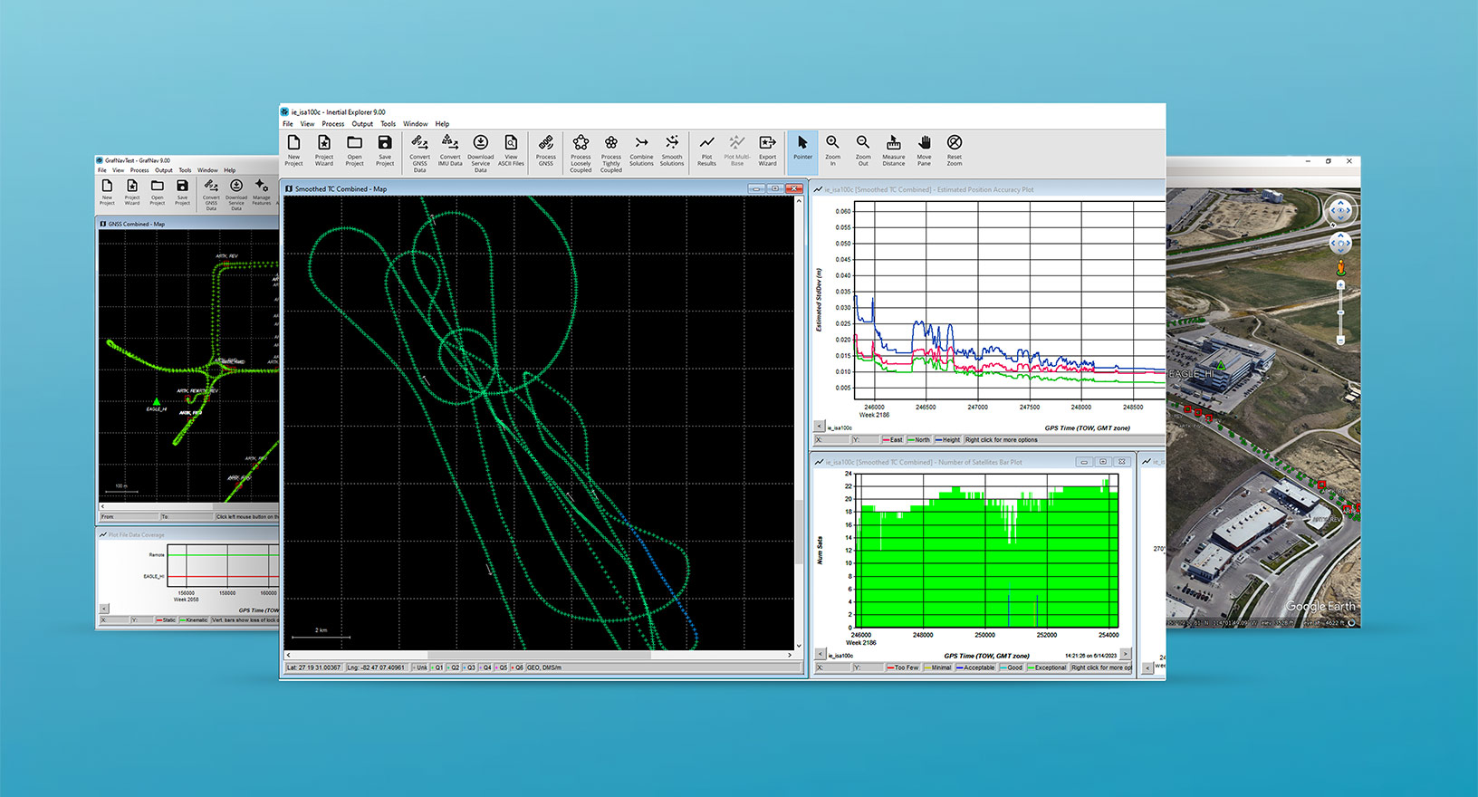
Hexagon’s GNSS post-processing solutions are ideal to use when needing accurate post-mission localisation for mapping applications. Our Waypoint post-processing software processes data forward and reverse in time then smooths and combines the results, providing a highly accurate position, velocity and attitude trajectory. This solution also assesses reliability and accuracy of the output with quality analysis plotting tools and provides flexible results exporting options.


