Mapping and geospatial content industry
Data-driven solutions to better visualize, monitor and simulate changes in order to provide the highest quality of life to citizens.

Geospatial data for smart decision-making
Capture, process and analyse data to unlock accurate geospatial information
Ready to learn how Hexagon's capabilities can empower your business?
Hexagon offers sensors, software, platforms and services for government organisations, infrastructure providers and private companies that rely on accurate, current and intelligent geospatial data and analytics. Our innovative mapping and geospatial solutions help monitor, simulate and manage nations, cities and critical infrastructure.
Explore capabilities
-
Autonomous mobility
-
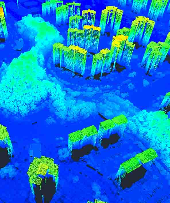
Buildings
-
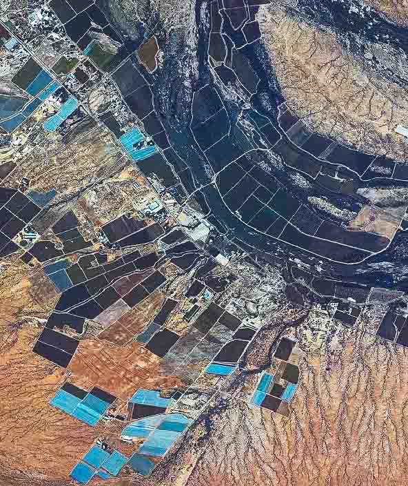
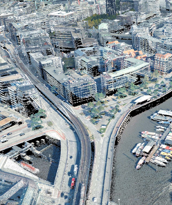
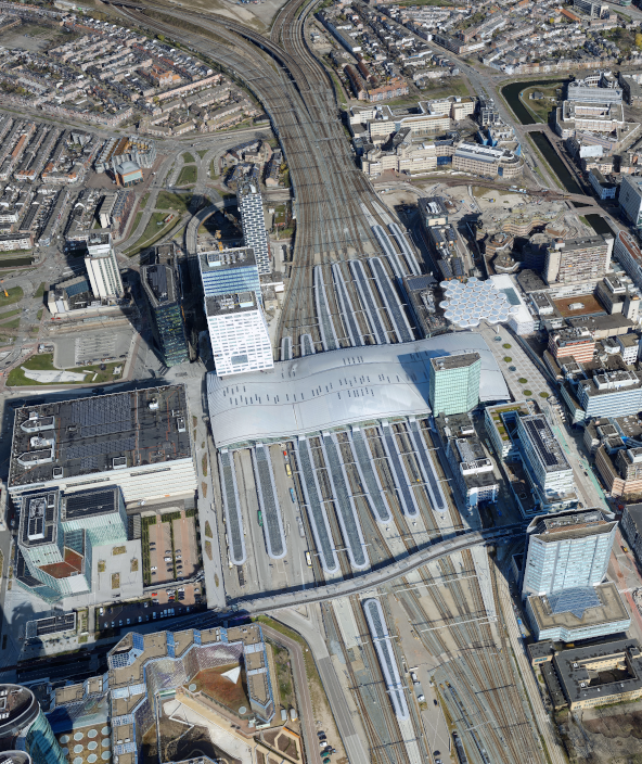
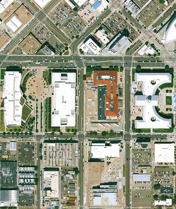
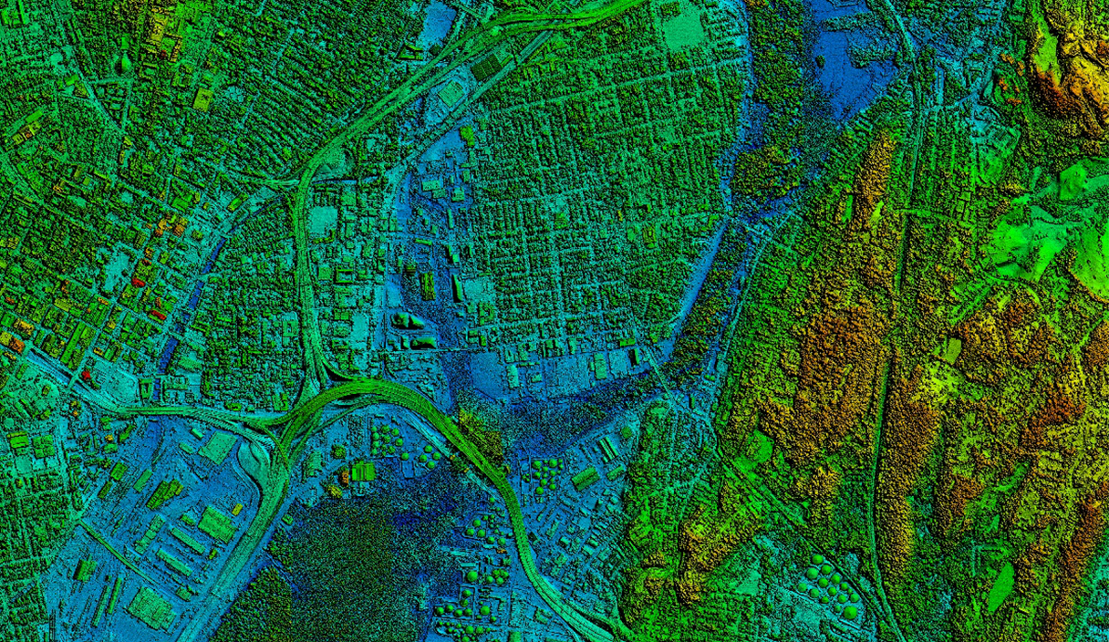
Cities and nations
-
Farms
-
Infrastructure
-
Mines
Enabling solutions
Autonomous mobility research and development platforms that enable automation functionality across a diverse set of control systems and industrial applications.
Deployment solutions
Deploying autonomous solutions that enable customers to quickly scale from prototype R&D and testing phases to full production in a variety of emerging and fast-paced market segments.
Design phase
Capture an accurate digital reality of a building site’s existing conditions, features and positioning to help digitally design initial concepts that minimise inputs and reduce waste during the project.
Plan phase
Transform your vision and design into a plan of action, digitally mapping out every detail for the construction phase including materials, scheduling and cost.
Build phase
Orchestrate the construction process more simply, creating a model of productivity and efficiency with higher quality, fewer reworks and less waste while ensuring worksite safety.
Operate and maintain phase
Leverage data from design, plan and build phases to optimize operations, maintenance, safety, and resilience.
Industrial and commercial resiliency
Forge safer industrial and commercial facilities with scalable surveillance, security and incident management capabilities.
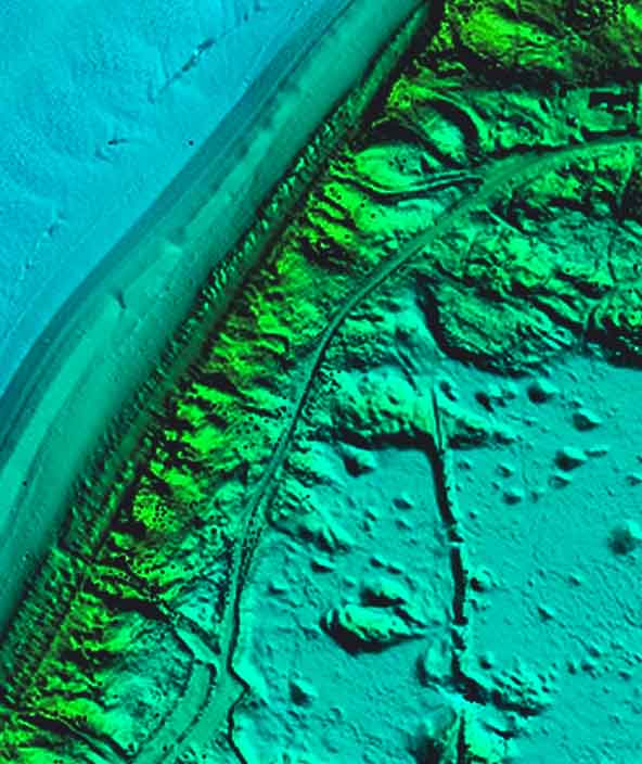
Mapping solutions
Leverage location intelligence with solutions that capture, visualise, analyse and derive insights from location data to address a variety of urban and national challenges.
Public administration solutions
Easily share data for census, cadastral management, public works and interagency situational awareness with cloud-based applications and collaborative solutions.
Public safety solutions
Improve the quality, accuracy and availability of critical information with integrated technology solutions that enhance public safety and security performance and productivity.
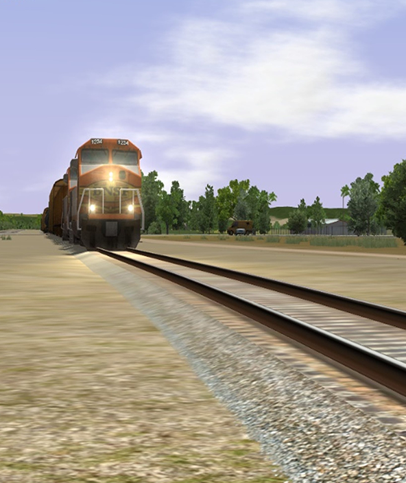
Transportation solutions
Deploy intuitive, integrated solutions for roads, railways, aviation and maritime to ensure effective planning and operations and enhance safety with minimal disruption.
Utilities and communications solutions
Achieve greater network service reliability, enhance integrity, increase efficiency and fulfil the expectations of utility stakeholders with Hexagon’s location-based technologies.
OEM solutions
Integrate field-ready advanced technologies for OEMs, including GNSS assured positioning and correction services for precision farming, machine controls and visualisation for analysis and planning.
Plan phase
Visualise the site above and below ground, digitally mapping out every detail for the construction phase, including time, materials, estimating, scheduling and cost.
Design phase
Digitally capture all the right distances and volumes that are key to construction performance, with accurate positioning and measurements integrated into the 3D model.
Construct phase
Maintain a data-driven approach to orchestrate the entire construction phase, creating a 3D model of productivity and efficiency — with higher quality, fewer reworks and less waste — while layering 4D cost and 5D BIM scheduling data throughout the project.
Operate and maintain phase
Empower asset owners and operators with solutions that go beyond smart infrastructure and provide 24/7 visibility into the operational twin to optimise safety and efficiency throughout all operations and maintenance while extending the life of the infrastructure asset.
Material movement solutions
Execute successful material movement through planning, fleet management, safety and slope monitoring powered by integrated mining technology.