Positioning and Measurement Solutions
Positioning and measurement solutions to maximise productivity and accuracy.
Hexagon’s positioning and measurement solutions maximise productivity and accuracy. As an innovation leader, we tailor the latest technologies to various industries, providing the best results. A digital-first approach guarantees all users stay ahead of the curve.
-
Overview
-
Total stations
-
GPS/GNSS
-
Laser scanning
-
Mobile mapping
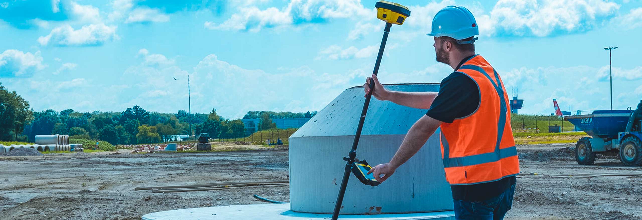
For positioning and measurement activities, a fit-for-purpose solution is required. Hexagon provides several technologies that can improve productivity by adopting a digital-first approach.
Hexagon offers a complete portfolio of positioning and measurement solutions ranging from total stations, GPS/GNSS equipment to 3D laser scanning, mobile mapping and utility mapping and detection solutions and associated software. Our unrivalled product portfolio guarantees that a solution is available to embrace digitalisation.
Hexagons’ end-to-end workflow solutions help users process, report and share information more efficiently and accurately. Our positioning, measurement and reality capture technology can dramatically improve the way data is collected, managed, visualised and shared.

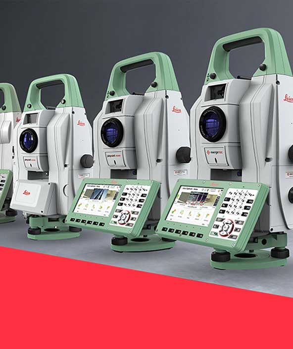
For over two centuries, Hexagon has pioneered innovation in optical instruments leading to today’s total stations. Functionality and productivity have progressed by leaps and bounds through continued innovations that fuse technologies.
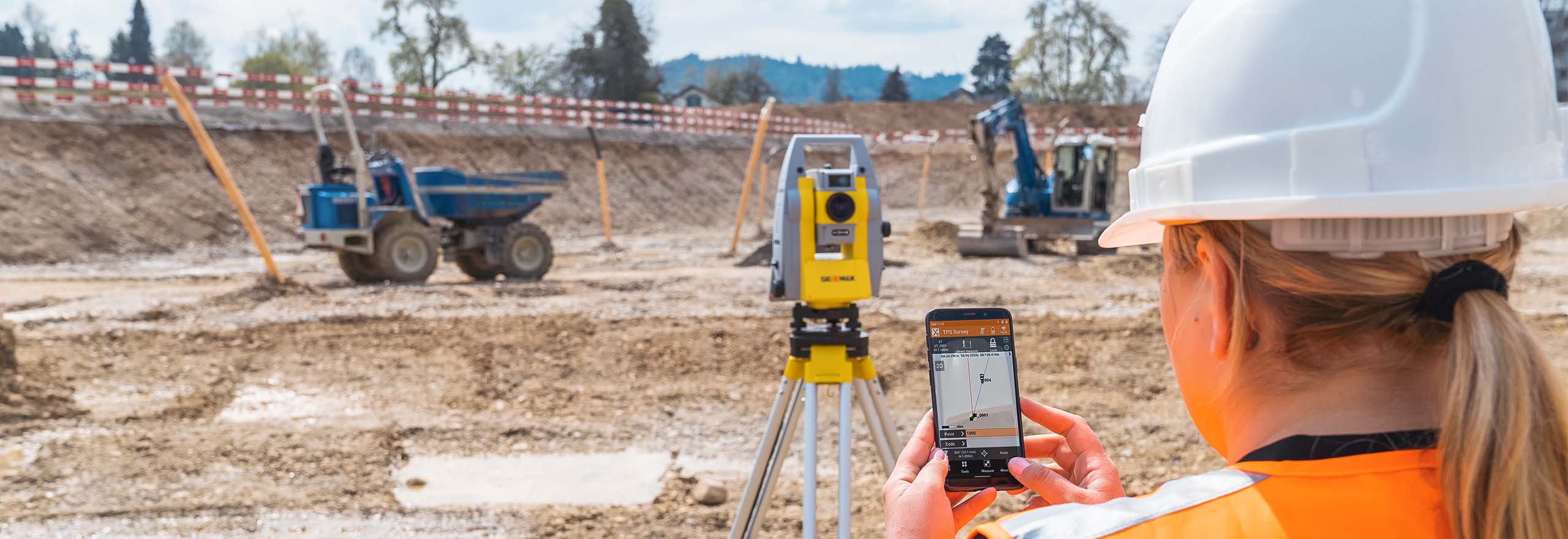
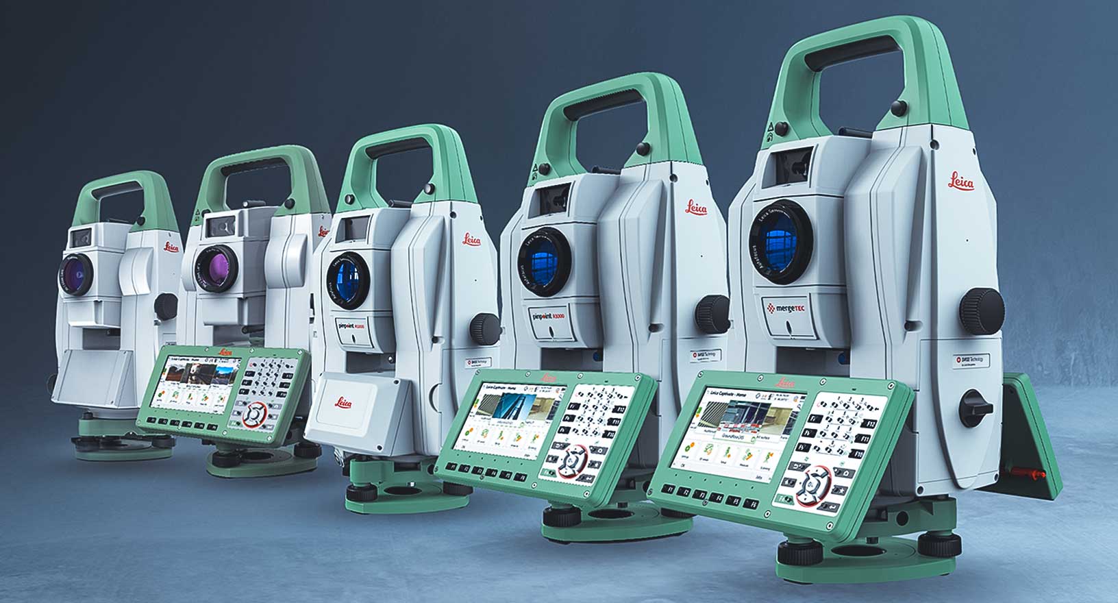
From standard to the highest accuracy and from manually operated to fully automated, a total station is available for all applications. Over the years, measuring with a total station has progressed from measuring discrete points to measuring images and point clouds. With easy-to-use yet powerful onboard software and complementary office software, the total station is the most versatile and reliable measurement and positioning instrument.
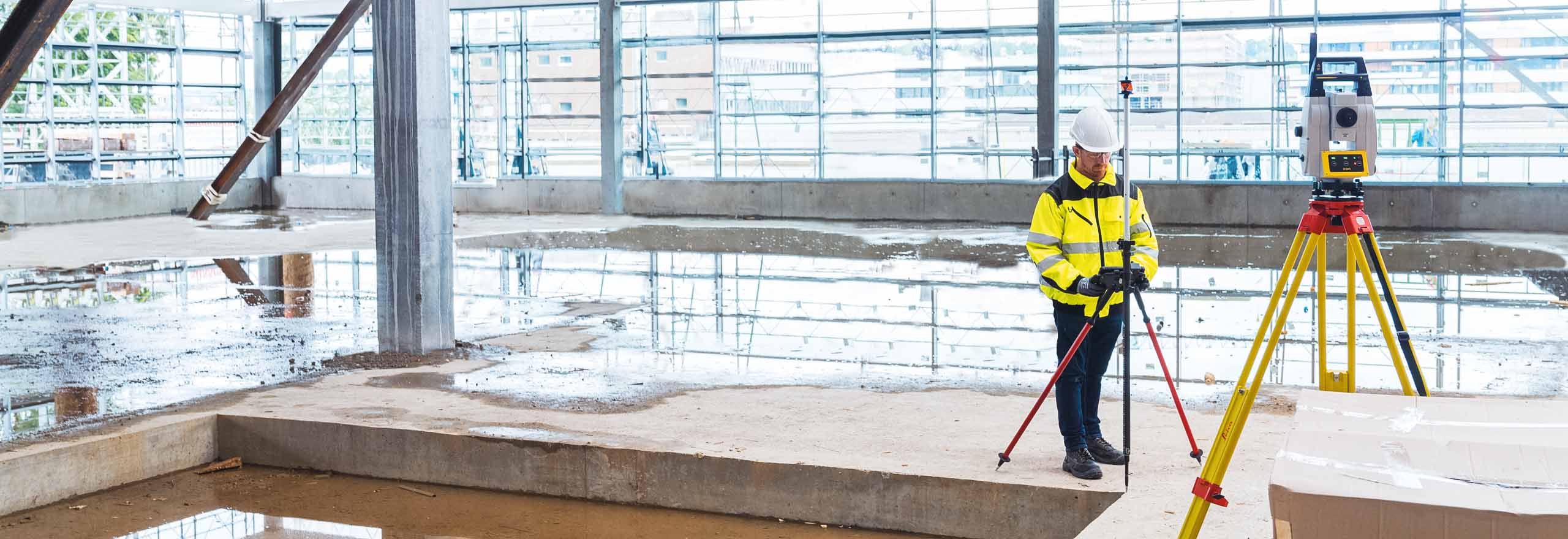
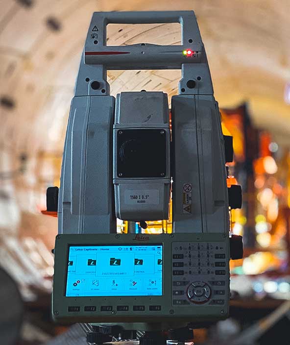
Never has the choice of total stations been so plentiful. A fit-for-purpose total station is available for all, from the highest accuracy Leica TS60 for surveying applications to the Leica iCON iCB50 for construction layout that everyone on-site can use.
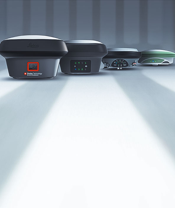
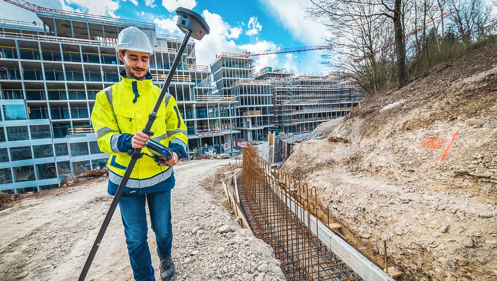
From the beginnings of GPS with post-processed data to the current multi-constellation GNSS and real-time results via HxGN SmartNet correction service, Hexagon has always provided positioning and measurement solutions.
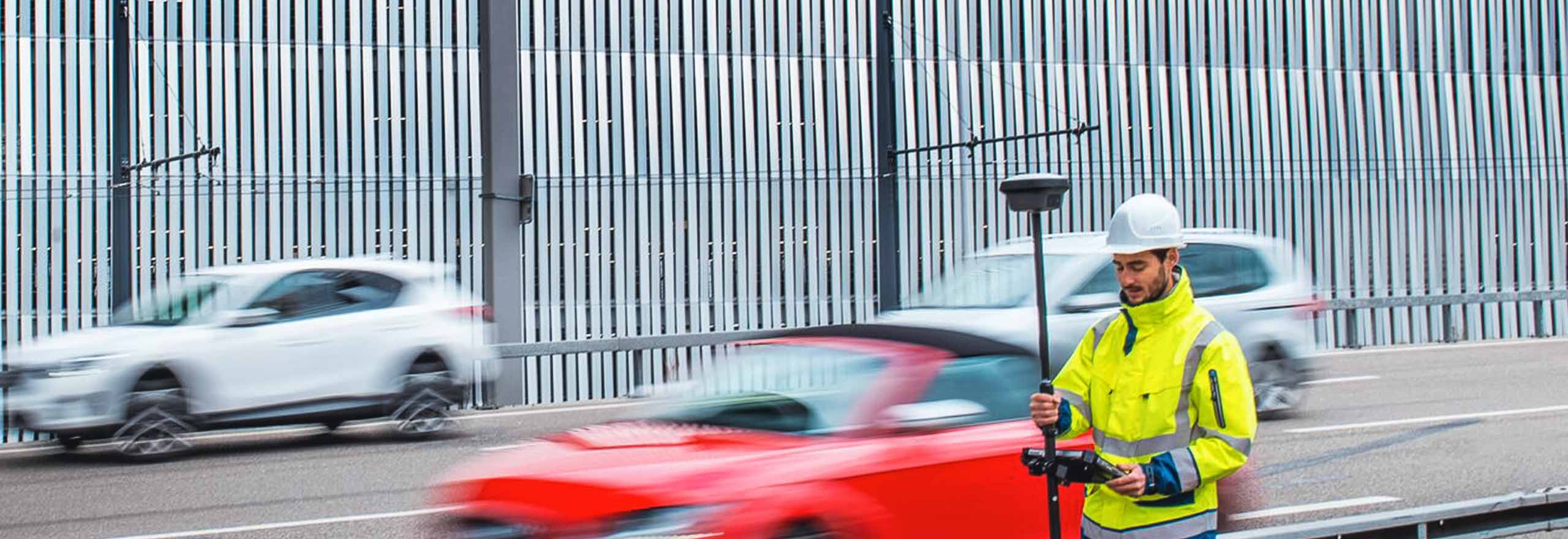
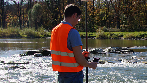
Continuous innovation, productivity and versatility of GNSS systems have increased exponentially. As an innovation leader in GNSS sensor fusion, Hexagon developed the original GNSS antenna with integrated Inertial Measurement Unit (IMU) to deliver true tilt compensation for measurement and positioning. We created the world’s first GNSS sensor with integrated IMU and camera that enables visual measurements of points that can’t be reached with the pole tip.
Modern measurement equipment represents a significant investment. The lowest total cost of ownership (TCO) is of great importance when deciding to invest. Lowest purchase cost doesn’t always represent the best value for the user or the entire company. Hexagon provides a fit-for-purpose, high-value GNSS for everyone.
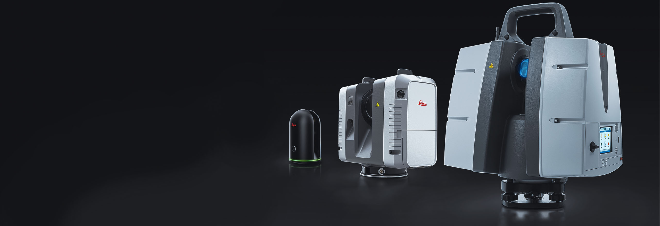
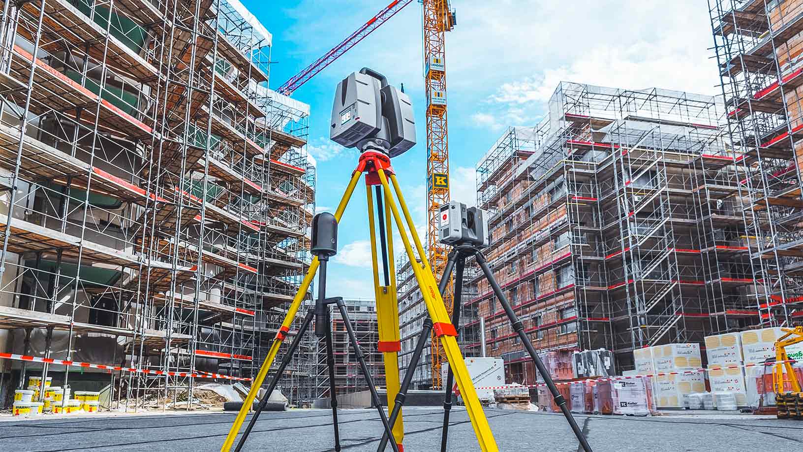
3D laser scanning technology replicates the physical world and turns it into a digital twin or a virtual environment. Hexagon has a broad range of 3D laser scanners: the Leica ScanStation P-Series for highest survey-grade accuracy and longest range, the Leica RTC360 for highest productivity and the Leica BLK360 for tight locations and interiors.
Hexagon's focus on autonomy also extends to laser scanning with the autonomous flying laser scanner, the Leica BLK2FLY, and the autonomous laser scanning module for robots, the BLK ARC.
A 3D laser scanning solution is available to fit the needs of any project, creating a digital twin of the physical world that can be kept up to date with real-time information from sensors and artificial intelligence.
Once a digital twin has been created with outstanding speed and the highest quality, the twin can be optimised with office software like Leica Cyclone, TruView and CloudWorx to visualise, extract, analyse, collaborate and share, enabling you to get the most out of high-value deliverables.
Hexagon’s mobile mapping solutions are positioned for applications that require long- and short-range mobile mapping, delivering the highest levels of detail in data collection for digital twin creation.
The solutions are designed for asset management and construction of road, rail and critical infrastructure, the oil, gas, electricity and mining industries, smart city and building modelling and simulation applications, as well as for environmental monitoring of coastal erosion and canals.
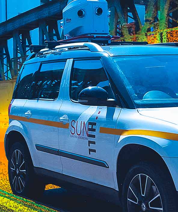
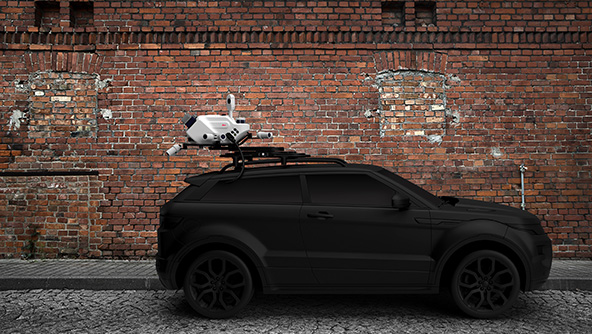
With several years of experience, Hexagon’s innovative mobile mapping technologies have converged into a unique product line covering multiple platforms for many application scenarios and use cases. Leica Pegasus TRK Neo, the vehicle-based system, is complemented by the wearable Leica Pegasus:Backpack and the revolutionary hand-held Leica BLK2GO.
- Overview
For positioning and measurement activities, a fit-for-purpose solution is required. Hexagon provides several technologies that can improve productivity by adopting a digital-first approach.
Hexagon offers a complete portfolio of positioning and measurement solutions ranging from total stations, GPS/GNSS equipment to 3D laser scanning, mobile mapping and utility mapping and detection solutions and associated software. Our unrivalled product portfolio guarantees that a solution is available to embrace digitalisation.
Hexagons’ end-to-end workflow solutions help users process, report and share information more efficiently and accurately. Our positioning, measurement and reality capture technology can dramatically improve the way data is collected, managed, visualised and shared.

- Total stations
For over two centuries, Hexagon has pioneered innovation in optical instruments leading to today’s total stations. Functionality and productivity have progressed by leaps and bounds through continued innovations that fuse technologies.
From standard to the highest accuracy and from manually operated to fully automated, a total station is available for all applications. Over the years, measuring with a total station has progressed from measuring discrete points to measuring images and point clouds. With easy-to-use yet powerful onboard software and complementary office software, the total station is the most versatile and reliable measurement and positioning instrument.
Never has the choice of total stations been so plentiful. A fit-for-purpose total station is available for all, from the highest accuracy Leica TS60 for surveying applications to the Leica iCON iCB50 for construction layout that everyone on-site can use.

- GPS/GNSS
From the beginnings of GPS with post-processed data to the current multi-constellation GNSS and real-time results via HxGN SmartNet correction service, Hexagon has always provided positioning and measurement solutions.
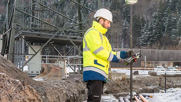
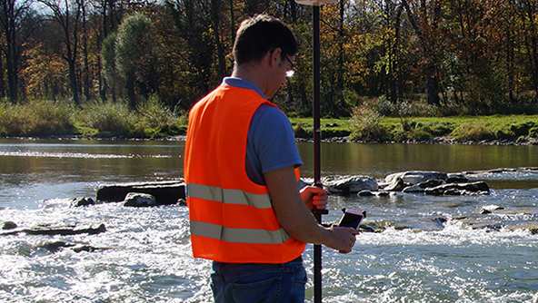
Continuous innovation, productivity and versatility of GNSS systems have increased exponentially. As an innovation leader in GNSS sensor fusion, Hexagon developed the original GNSS antenna with integrated Inertial Measurement Unit (IMU) to deliver true tilt compensation for measurement and positioning. We created the world’s first GNSS sensor with integrated IMU and camera that enables visual measurements of points that can’t be reached with the pole tip.
Modern measurement equipment represents a significant investment. The lowest total cost of ownership (TCO) is of great importance when deciding to invest. Lowest purchase cost doesn’t always represent the best value for the user or the entire company. Hexagon provides a fit-for-purpose, high-value GNSS for everyone.

- Laser scanning
3D laser scanning technology replicates the physical world and turns it into a digital twin or a virtual environment. Hexagon has a broad range of 3D laser scanners: the Leica ScanStation P-Series for highest survey-grade accuracy and longest range, the Leica RTC360 for highest productivity and the Leica BLK360 for tight locations and interiors.
Hexagon's focus on autonomy also extends to laser scanning with the autonomous flying laser scanner, the Leica BLK2FLY, and the autonomous laser scanning module for robots, the BLK ARC.
A 3D laser scanning solution is available to fit the needs of any project, creating a digital twin of the physical world that can be kept up to date with real-time information from sensors and artificial intelligence.
Once a digital twin has been created with outstanding speed and the highest quality, the twin can be optimised with office software like Leica Cyclone, TruView and CloudWorx to visualise, extract, analyse, collaborate and share, enabling you to get the most out of high-value deliverables.

- Mobile mapping
Hexagon’s mobile mapping solutions are positioned for applications that require long- and short-range mobile mapping, delivering the highest levels of detail in data collection for digital twin creation.
The solutions are designed for asset management and construction of road, rail and critical infrastructure, the oil, gas, electricity and mining industries, smart city and building modelling and simulation applications, as well as for environmental monitoring of coastal erosion and canals.
With several years of experience, Hexagon’s innovative mobile mapping technologies have converged into a unique product line covering multiple platforms for many application scenarios and use cases. Leica Pegasus TRK Neo, the vehicle-based system, is complemented by the wearable Leica Pegasus:Backpack and the revolutionary hand-held Leica BLK2GO.

Explore
Hexagon solutions help you visualise, document and verify every stage of construction projects.
 FeaturedProduct
Hexagon’s Deviation Analysis automates quality assurance by comparing as-built scan data to 3D design models, detecting deviations, predicting clashes, and providing actionable insights to improve construction accuracy and reduce rework.
-
×Conditional autonomyAutomatically identifies construction deviations and predicts clashes using AI-driven scan data for proactive quality assurance and insights.
GNSS systems connect hardware and software to enable positioning tasks with precision and accuracy.
- GNSS systems
Receive and deliver accurate and reliable data with reference servers that support global GNSS constellations.
 Product
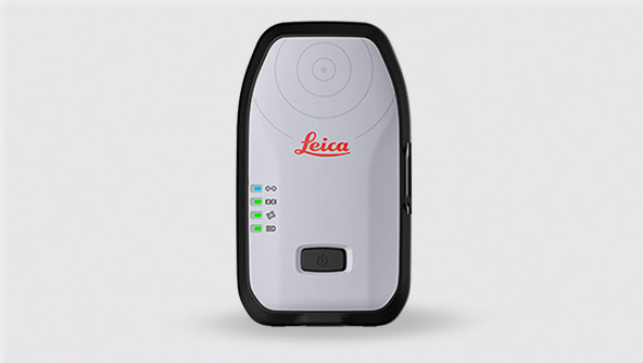
Leica GR50 is a GNSS server supporting all global GNSS constellations for highly accurate and reliable positioning data.
-
×Human-Assisted autonomyWhen sensors are setup and connected to the receiver, it autonomously receives and transmits data to the office software.
-
- GNSS systems
Compact and lightweight GNSS smart antennas for accurate and reliable positioning work.
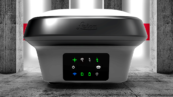 Product
The GS18 GNSS smart antenna that grows with your business: upgrade it to tilt-compensated rover at any time.
-
×Human-Assisted autonomyAutonomous GNSS signal utilization enables the best possible positioning results.
-
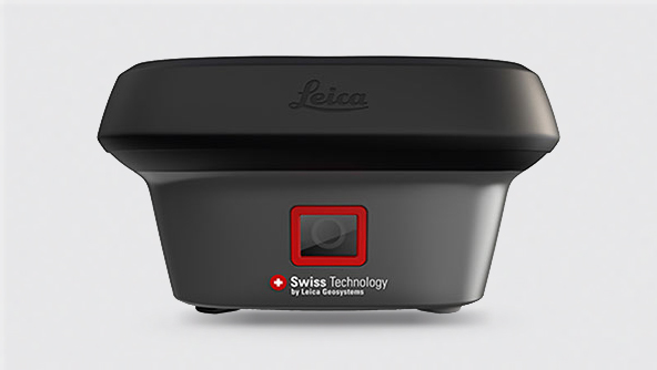 FeaturedProduct
Leica GS18 I GNSS Smart Antenna with Visual Positioning enables the capture of site data and images, and measure from them.
-
×Partial autonomyAutonomous GNSS signal utilization, IMU calibration, and image feature detection enable survey-grade measurements in images.
-
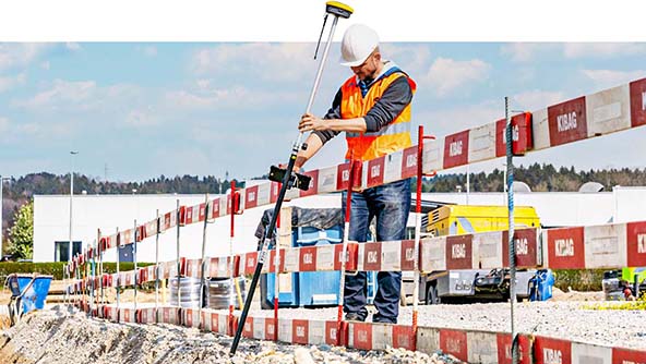 Product
A calibration-free tilt GNSS smart antenna with resistance to magnetic interferences for faster, more convenient surveying.
-
×Human-Assisted autonomyThe Zenith60 includes IMU technology to automatically compensate pole tilt for fast and accurate measurements.
-
- GNSS systems
Integrated software for managing GNSS correction services, along with processing and visualising GNSS data.
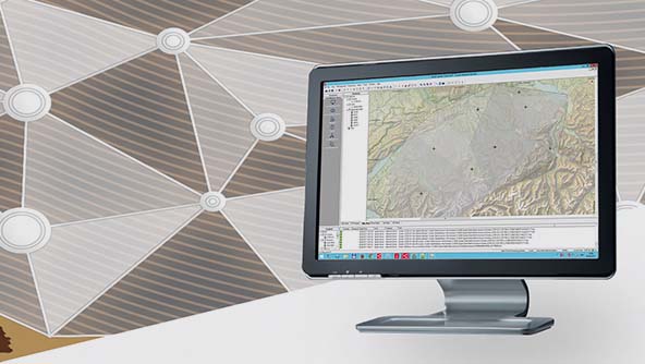 Product
Leica GNSS Spider is a web-based solution for managing real-time and post-processing GNSS services.
-
×Human-Assisted autonomyUsing continuously streamed or periodically downloaded data, the software computes station coordinates automatically.
-
3D laser scanning solutions capture, process, manage and deliver point cloud data, providing a field-to-finished workflow.
- Laser scanning
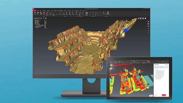
Setting the industry standard to capture, visualise, extract, analyse, share and represent point cloud data.
 Product
A simple workflow-based software that centralises full-scale point cloud management, analysis and modelling.
-
×Human-Assisted autonomyFull-scale point cloud management with automated point cloud analysis and modelling into one simple workflow-based platform.
-
Automatic, digital, and rotating laser levels for construction, surveying, monitoring and more.
- Levels
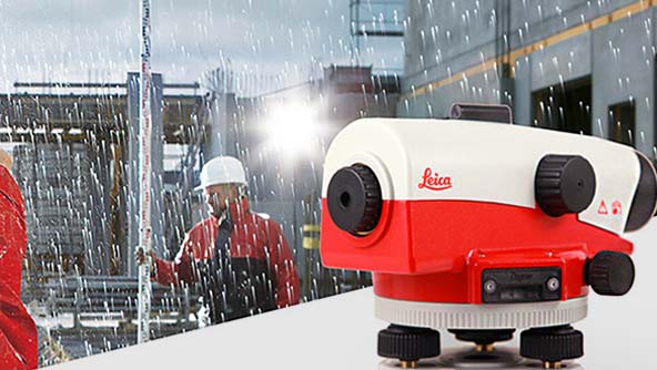
Automatic optical levels are quick to set up, precise and offer the highest price-to-performance ratio.
 Product
The Leica NA series of levels are extremely robust, highly precise and easy to use on any job site.
-
×Human-Assisted autonomyThe internal compensation mechanism of the NA Series automatically keeps the sighting line level.
-
- Levels
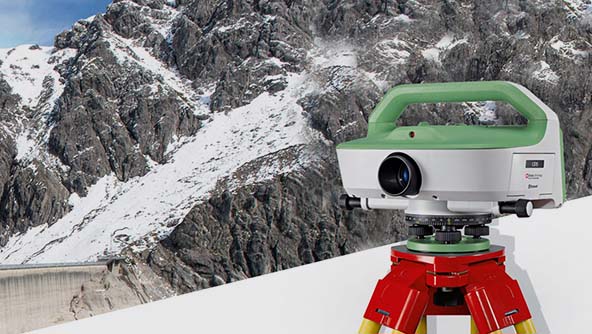
Easy-to-use digital levels measure quickly and reduce errors.
 Product
Leica LS15 and LS10 digital levels are ideal for levelling tasks on all sites and have automated functions nd 0.2mm accuracy.
-
×Human-Assisted autonomyThe Leica digital levels enable camera aided aiming, automated focussing and digital reading of the levelling staff.
-
- Levels
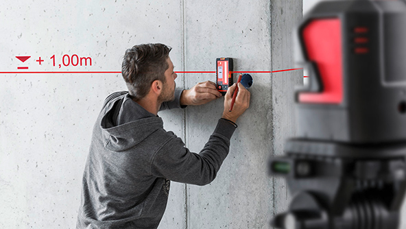
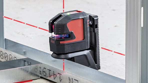
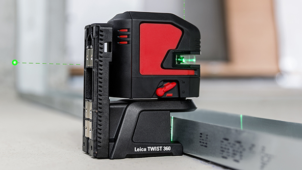
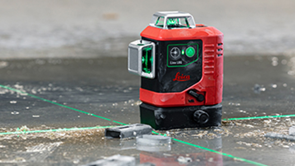
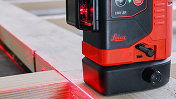
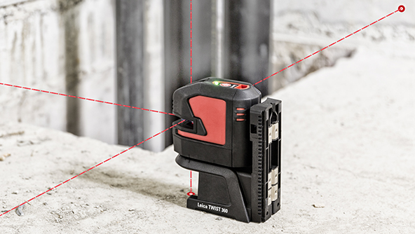
Line and point lasers are used by builders or installers for levelling, layout or transfers.
- Levels
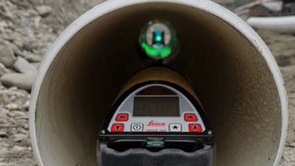
Compact pipe lasers for storm water and sanitary sewer jobs.
 Product
Built with a rugged aluminium housing, these pipe lasers perform powerfully even under tough jobsite conditions.
-
×Human-Assisted autonomyActivating the auto-alignment function of the Piper200, the beam is automatically aligned to the centre of the target.
-
- Levels
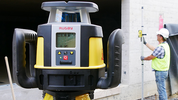
Professional grade lasers for next-level construction grading, excavation, facade and concrete work.
 Product
Discover the professional grade laser perfectly aligned with your application needs in the Leica Rugby CLAx and CLH series.
-
×Human-Assisted autonomyThe user can select a specific grade that will automatically be maintained by the laser.
-
- Levels
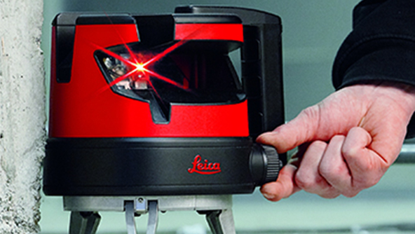
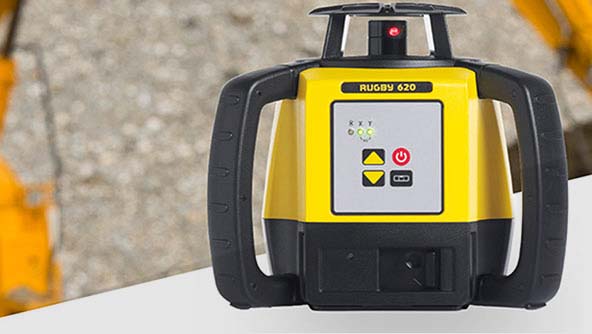
A range of robust and multipurpose rotating laser levels, from daily construction to excavations and land levelling.
 Product
Leica Rugby 600 series of rotating lasers for strong performance on construction sites and for machine control applications.
-
×Human-Assisted autonomyThe Rugby 600 provides self-levelling in a range of ± 5°, making the set-up process easier and more precise.
-
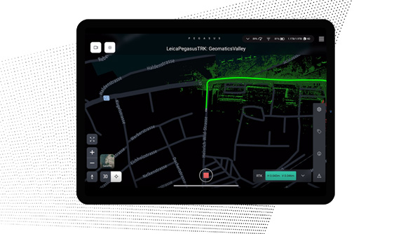
Mobile mapping systems include sensors and software for the capture, post-processing and storing of gathered data.
 Product
Plan and execute projects with visual and audio feedback along the route to make data collection failure a thing of the past.
-
×Human-Assisted autonomyDedicated processing workflows in the field are automated to increase efficiency and collaboration.
-
 Product
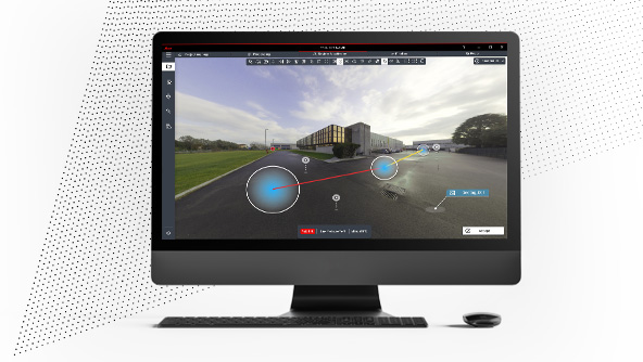
Deliver high-resolution point clouds with classification, anonymised images and exchangeable formats in one batch-process.
-
×Human-Assisted autonomyDedicated processing workflows in the office are automated to increase efficiency and collaboration.
-
 FeaturedProduct
A complete mobile mapping solution from a single provider, including software to capture, post-process, and store acquired data.
-
×Human-Assisted autonomyTravel along a route and activate specific functions to automate data capture.
-
Industry-revolutionising survey software expands capabilities with seamless field and office workflows.
- Survey software
Intuitive field software empowers positioning for surveying and construction projects, providing data in 2D and 3D.
 Product
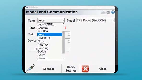
FieldGenius is a data collection software that works with industry-leading surveying hardware solutions.
-
×Human-Assisted autonomyFieldGenius is able to auto-record measurements configured by a set time or distance.
-
 Product
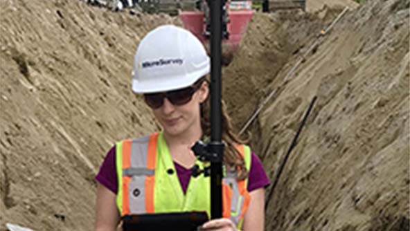
FieldGenius for Android™ is data collection software that works with leading surveying industry hardware.
-
×Human-Assisted autonomyFieldGenius for Android™ is able to auto-record measurements configured by a set time or distance.
-
 Product
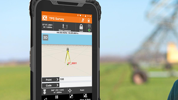
X-PAD Ultimate is an easy to use Android field-data collection software for surveying professionals.
-
×Human-Assisted autonomyX-PAD Ultimate provides simple automated workflows like tilt calculation, voice commands, auto-measuring and free stationing.
-
- Survey software
Office software to prepare, compile, compare and analyse measurement data and create deliverables.
 Product
Leica Infinity is geospatial office software to manage, process, combine, analyse and quality-check all field survey data.
-
×Human-Assisted autonomyInfinity prepares and processes survey data, connecting users to the integrated, accurate information autonomy depends on.
 Product
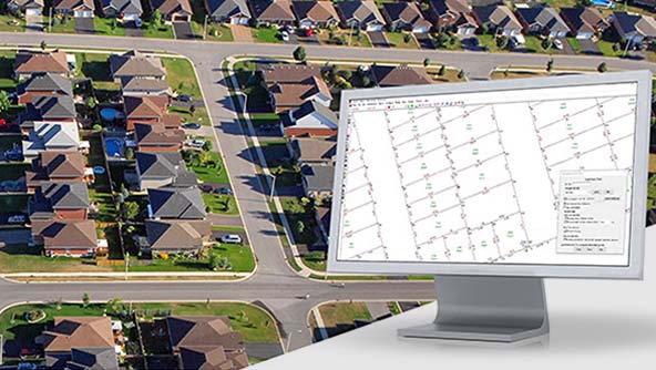
LISCAD is a field-to-finish surveying and engineering software that processes survey data from all major equipment models.
-
×Human-Assisted autonomyThe customisable CAD output parameter files in LISCAD allows automated creation of survey plan annotations via feature codes.
-
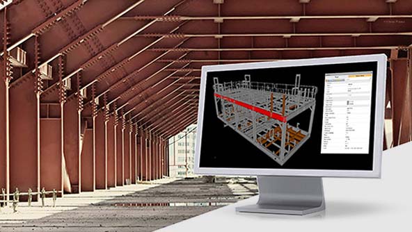 Product
Listech Neo is an easy-to-use surveying and geospatial software that easily transforms raw data into useful information.
-
×Human-Assisted autonomyNeo's inbuilt query language provides a powerful automation tool for creating and editing attributes associated with objects.
-
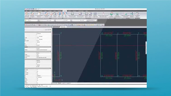 Product
MicroSurvey CAD is a calculation-focused platform designed to maximise efficiency by supporting many data formats.
-
×Human-Assisted autonomyLabels and linework are linked to points and are updated when scale, coordinates, or coordinate systems are changed.
-
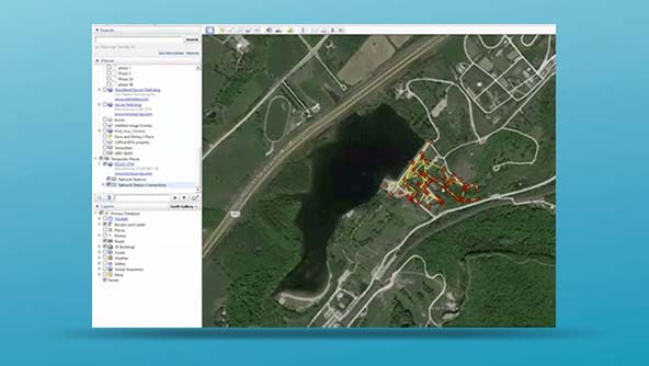 Product
STAR*NET is a powerful, accurate, reliable and easy-to-use least squares adjustment software.
-
×Human-Assisted autonomyAutomatically removes outliers from a control network and completes an adjustment to compute the optimal network solution.
-
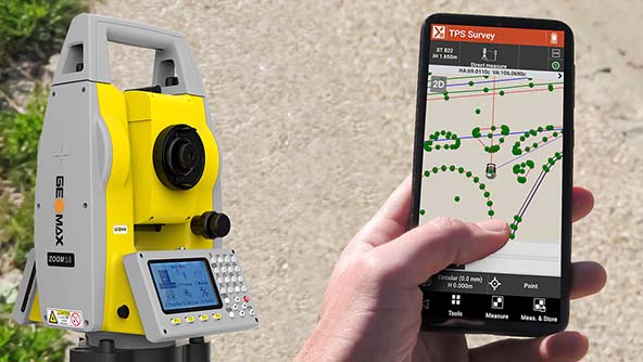
Measurements have never been so easy to perform as with Hexagon's total stations.
- Total stations
Rugged total stations with accurate angle measurements, quadruple axis compensation and powerful reflectorless EDM.
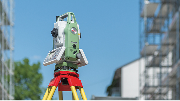 Product
The Leica Flexline consists of premium-quality, cost-effective and highly durable manual total stations.
-
×Human-Assisted autonomyFlexline has the worlds first AutoHeight feature. It allows to automatically measure, read and set the instrument's height.
-
- Total stations
A self-learning measurement instrument that combines robotic total station and laser scanning technologies.
 Product
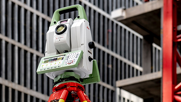
This multistation combines high-end total station capabilities with 3D laser scanning, GNSS connectivity and digital imaging.
-
×High autonomyThe MS60 enables to perform automated all surveying and layout tasks with a single instrument, including 3D laser scanning.
-
- Total stations
Achieve the highest accuracy and reliability with our total stations that provide superb angle and distance technology.
 Product
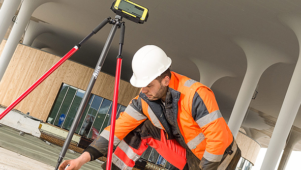
The Leica iCON iCR70 is a mid-range construction robotic total station for general layout applications.
-
×Human-Assisted autonomyThe ATR, SpeedSearch and Setup Pilot app offers an efficient, reliable, simple and automated set-up routine.
-
 Product
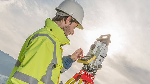
The Leica iCON iCR80 is a robotic total station for construction professionals, enabling fast point layout.
-
×Human-Assisted autonomyThe ATRplus technology enables automatic aiming, locking and re-locking onto targets. An automatic set up is also available.
-
 Product
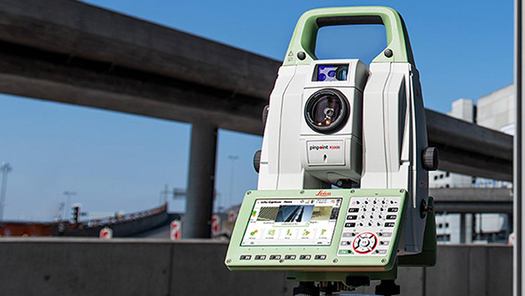
The Leica Nova TS60 is for highly demanding surveying and engineering projects that require the highest level of accuracy.
-
×Human-Assisted autonomyThe most accurate total station TS60 works anywhere and under any condition at the highest accuracy and automation.
-
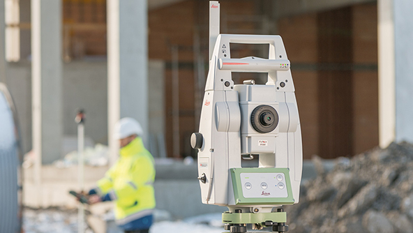 Product
The Leica TS13 is an upgradable, mid-range automated total station for efficient measurement.
-
×Human-Assisted autonomyThe TS13 comes with ATR technology and uses SpeedSearch to search, lock and measure prisms quickly and automatically.
-
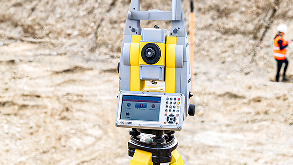 Product
Zoom95 is a one-person robotic total station that significantly reduces the time of survey tasks and maximises performance.
-
×Human-Assisted autonomyThe Zoom95 includes STReAM360 technology to automatically search, lock and follow targets for efficient one-person operation.
-
- Total stations
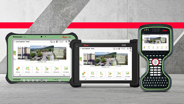
Wirelessly connected, robust field controllers with a range of software to view and collect data.
