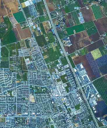
Geospatial information management
Collect, manage, produce and deliver geospatial information for planning and operations.

Hexagon and EPM
EPM uses Hexagon’s multiutility geospatial technology to enhance and optimize the digital management of its networks.
Hexagon provides industry-leading GIS, remote sensing, photogrammetry and data management solutions to improve land, infrastructure and services planning, monitoring and analysis.
Overview
Hexagon provides governments and businesses with industry-leading tools for GIS-based asset and data collection and management, spatial analysis and location intelligence and map production and delivery. Our dynamic, end-to-end capabilities simplify mapping workflows and products, improve imagery and geodata processing and storage and meet diverse end-user goals.
Our geospatial information management capabilities serve a broad range of uses for:
- National mapping
- Land and property administration
- Natural resources management
- Environmental protection
- Urban planning
- Public works
- Transportation networks
- Utilities and communications services
- Buildings and infrastructure
- And more