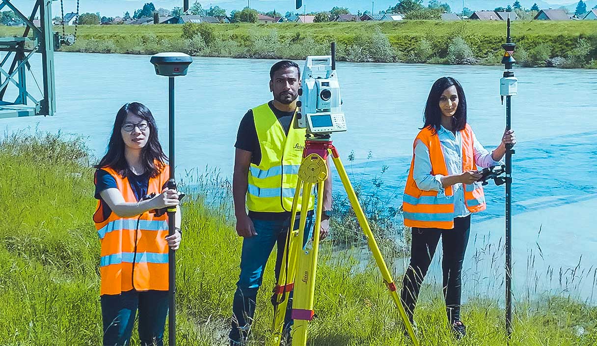
Surveying industry
Gearing stakeholders with the right equipment, software and services, surveyors collect, visualise and manage geospatial data to deliver construction and civil engineering projects.

End-to-end workflow solutions for surveyors
Measure, process, report and share information efficiently and accurately.
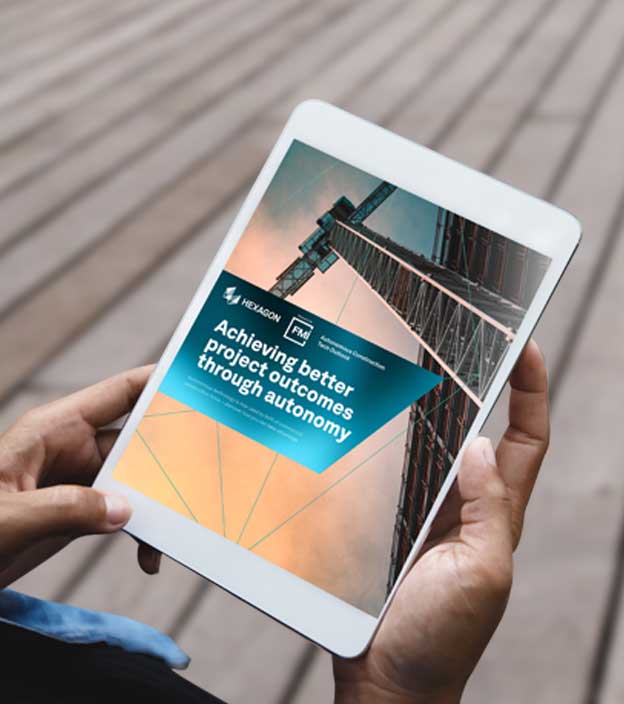
Ready to learn how Hexagon's capabilities can empower your business?
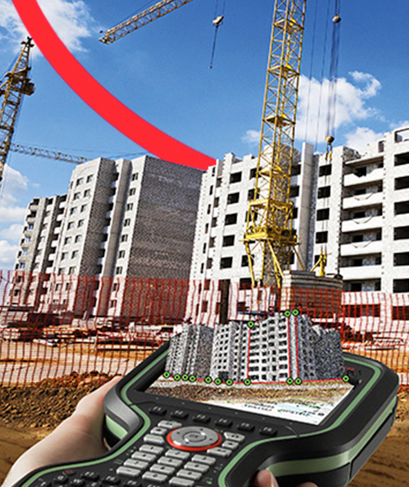
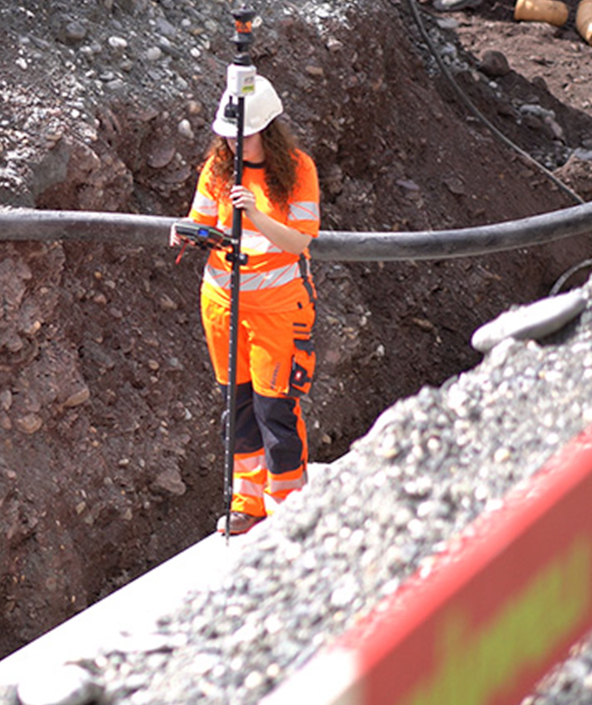
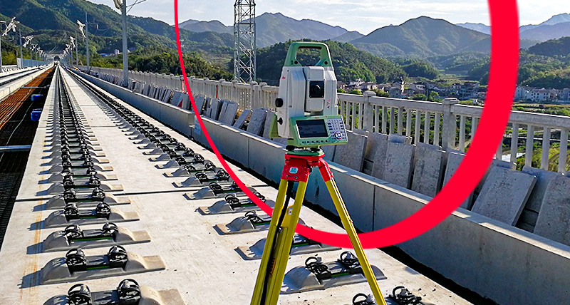
From towering buildings to the ocean floor, surveying above and below the surface is a vital need in today’s modernised and globalised world. Hexagon has continuously innovated surveying solutions to increase productivity, improve workflows and provide richer, more valuable 2D and 3D deliverables for our customers.

Explore capabilities
-
Autonomous mobility
-
Buildings
-
Cities and nations
-
Infrastructure
-
Mines
Deployment solutions
Deploying autonomous solutions that enable customers to quickly scale from prototype R&D and testing phases to full production in a variety of emerging and fast-paced market segments.
Design phase
Capture an accurate digital reality of a building site’s existing conditions, features and positioning to help digitally design initial concepts that minimise inputs and reduce waste during the project.
Build phase
Orchestrate the construction process more simply, creating a model of productivity and efficiency with higher quality, fewer reworks and less waste while ensuring worksite safety.
Operate and maintain phase
Leverage data from design, plan and build phases to optimize operations, maintenance, safety, and resilience.
Industrial and commercial resiliency
Forge safer industrial and commercial facilities with scalable surveillance, security and incident management capabilities.
Mapping solutions
Leverage location intelligence with solutions that capture, visualise, analyse and derive insights from location data to address a variety of urban and national challenges.
Public administration solutions
Easily share data for census, cadastral management, public works and interagency situational awareness with cloud-based applications and collaborative solutions.
Plan phase
Visualise the site above and below ground, digitally mapping out every detail for the construction phase, including time, materials, estimating, scheduling and cost.
Construct phase
Maintain a data-driven approach to orchestrate the entire construction phase, creating a 3D model of productivity and efficiency — with higher quality, fewer reworks and less waste — while layering 4D cost and 5D BIM scheduling data throughout the project.
Operate and maintain phase
Empower asset owners and operators with solutions that go beyond smart infrastructure and provide 24/7 visibility into the operational twin to optimise safety and efficiency throughout all operations and maintenance while extending the life of the infrastructure asset.
Material movement solutions
Execute successful material movement through planning, fleet management, safety and slope monitoring powered by integrated mining technology.
Planning solutions
Access powerful 3D modelling and simulation, data visualisation and planning software for geologists and engineers that supports seamless workflows from exploration to production.