Forestry industry
Providing data-driven solutions to forestry professionals for improved decision-making and higher efficiency in all phases of the forestry cycle.

Positioning and mapping for forest management
Put data to work to monitor, cultivate and harvest forests more efficiently.
Ready to learn how Hexagon's capabilities can empower your business?
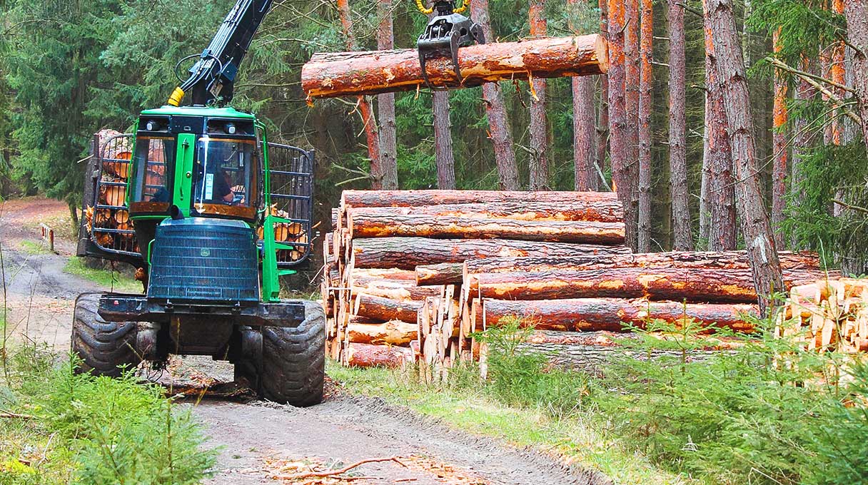
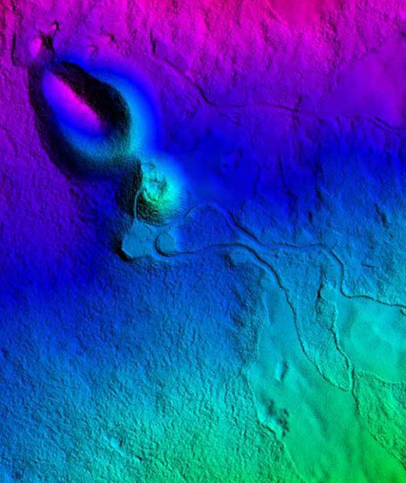
Through advanced forestry solutions, Hexagon optimises forest management by providing accurate positioning, navigation and mapping solutions to monitor vegetation health, identify changes over time and control operations. Using data and analytics, forestry companies, governments and conservationists can find the best course to protect, plant and harvest trees.
Explore capabilities
-
Farms
-
Cities and nations
Automation and autonomy
Adopt turnkey automation and positioning solutions — from machine control to fully autonomous — that reduce inputs, optimise yields and assure safety-critical operations while ensuring sustainability and resiliency across crop lifecycles.
Data management, logistics and analysis
Leverage data across the entire crop lifecycle of agricultural and forestry operations — from preparation to planting, cultivation to harvest — to ensure efficient field operations that align to plan and optimise yield and maximise profitability.
OEM solutions
Integrate field-ready advanced technologies for OEMs, including GNSS assured positioning and correction services for precision farming, machine controls and visualisation for analysis and planning.
Planning solutions
Overcome the inherent challenges of planning across multiple time horizons with Hexagon’s unique approach to smart farming that optimises agricultural and forestry land use, workflows, equipment and processes to increase productivity and yield and minimise waste.
Mapping solutions
Leverage location intelligence with solutions that capture, visualise, analyse and derive insights from location data to address a variety of urban and national challenges.
Public administration solutions
Easily share data for census, cadastral management, public works and interagency situational awareness with cloud-based applications and collaborative solutions.


