HxGN AgrOn Seedling Marker: System that uses georeferencing to generate maps of seedlings and pits for forestry operation
System that uses georeferencing to generate maps of seedlings and pits for forestry operation.

Ready to get started?
Allows the georeferencing of seedlings and pits through the external activation of sensors installed in the machine, generating maps for use in subsequent activities, such as irrigation and fertilisation. Allows the configuration of dimension and distance parameters of each machine in the displays for better precision of the georeferenced point.
- Allows triggering of points through analogue or digital sensors
- Facilitates irrigation and fertilization on each seedling through geo-referencing markings
- Exclusive to forestry operations
- Integrated to the Ti5, Ti7, or Ti10 display
- Includes the Remote Access add-on module
- Locates best pit location
- Assists in irrigation and fertilisation
- Reduce input waste
- Increases job accuracy
-
HXGN AGRON SEEDLING MARKER | REMOTE ACCESS
Learn more about the add-on module:
System for remote access to displays for technical assistance and calibrations.
Through an internet connection, it is possible for technical staff to view the display helping solve problems that arise in real-time. It is an exclusive and available service for all products that are enabled in the displays.Characteristics:
- Remote monitoring of the machine
- Ensures fast, efficient and cost-effective service
- Accepts differents Internet connections: cable, Wi-Fi, 4G, 3G and even 2G
- Allows technical team to view the display screen and control if needed
Benefits:
- Fast service
- Reduces cost service
-
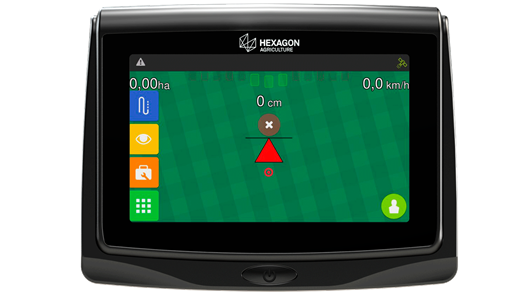
DISPLAYS
The displays allow users to use Hexagon Precision Agriculture solutions. They are compatible with several machines on the market and meet the needs of each customer – with the possibility of including only one or even all products in a single display.
Benefits:
- Automating machine operations
- Real-time monitoring
- Optimising the agricultural and forestry operations
- Using resources wisely
Farming accuracy:
- GNSS L1 10Hz - GPS with EGNOS/WAAS 2,0 m (absolute)
- GNSS L1 20Hz - GPS with EGNOS/WAAS 15-20cm (pass to pass, 15min)
- GNSS L1/L2 20Hz - GPS/Glonass 10cm (pass to pass, 15min)
- GNSSL1/L2/Lband 20Hz - GPS/Glonass/TerraStar 2,5cm (absolute)
- GNSSL1/L2/Lband 20Hz - GPS/Glonass/RTK 2 cm (absolute)
Characteristics Ti5 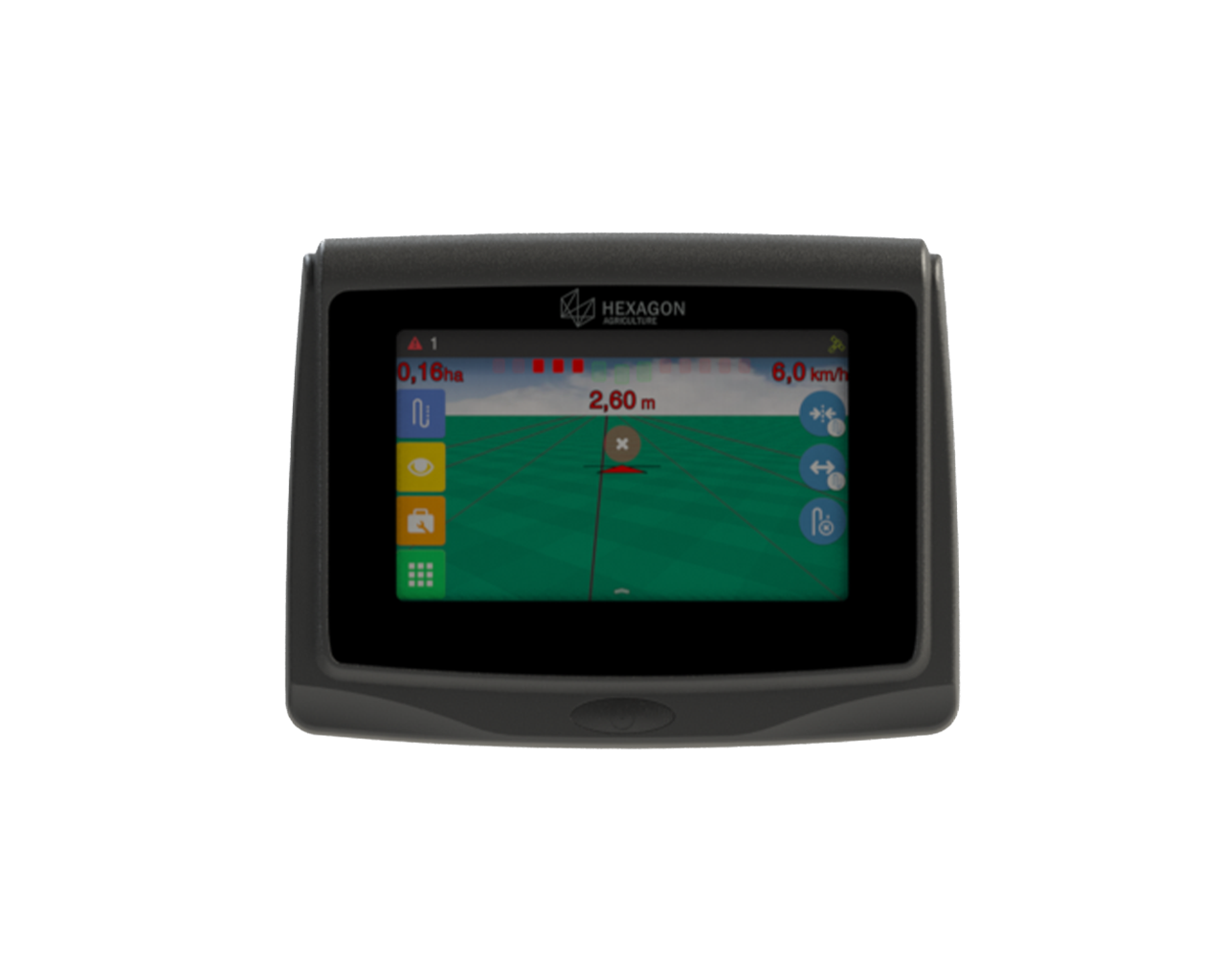
Ti7 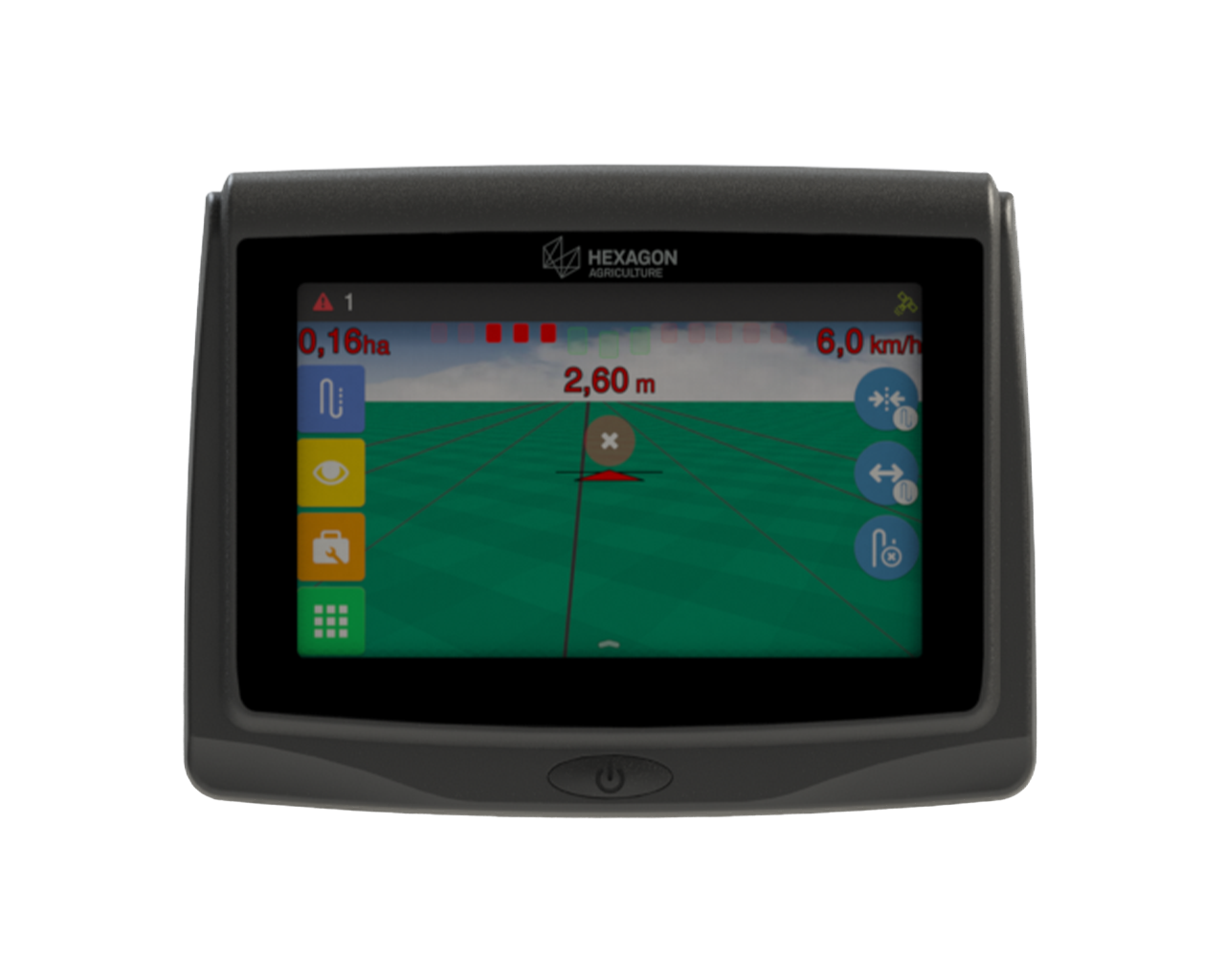
Ti10 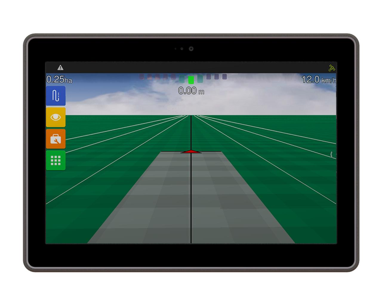
Screen size 5" LCD
7" LCD
10.1" LCD
Processor Single core 800 MHz 1x ARM Cortex-A9
Single core 800 MHz 1x ARM Cortex-A9 Quad Core 1.2 GHz 4x ARM Cortex-A35 Storage capacity
RAM: 1 GB DDR3
FLASH: 4 GB eMMC
RAM: 1 GB DDR3
FLASH: 4 GB eMMC
RAM: 2 GB DDR3
FLASH: 32 GB eMMC
Screen configuration
16M colours, 600 cd/m2 brightness and 600:1 contrast
265K colours, 1000 cd/m2 brightness and 400:1 contrast
16Mcolors, 1000 cd/m2 brightness, 800:1 contrast
Resolution 800×480
800×480
1280x800 (HD)
Display size
162 mm (W) × 125 mm (H) × 45 mm (L)
208 mm (W) × 159 mm (H) × 57 mm (L)
177 mm (W) x 250 mm (H) x 47 mm (L)
Sturdy aluminium case
Yes
Yes
Yes
High contrast and configurable lighting for different visibility conditions
Yes
Yes
Automatic
Camera
No No
5MP Front Camera*
Audio system with built-in speaker and microphone
No
No
2W speaker Front microphone for audible alerts
Multi-language support
Yes Yes
Yes
Wi-Fi 2.4GHz*
No Optional Yes
Record of detailed information of operations and export/transmission of files
Yes Yes Yes
Digital Radio 900MHz or 433Mhz*
No Optional Optional
4G+ cell phone with 28 band support (700MHz)*
No Optional Optional
Bluetooth
No Optional Bluetooth 5.0
User Entry
Touch screen and Power button Touch screen and Power button Touch screen and Power button
Battery
- - Li-Ion 4.900 mAh*
ISOBUS
No Yes Yes
Quantity of products per equipment**
Up to 3 No limit No limit
External map reading in shape (.shp) format, prepared in the office
Yes Yes Yes
Protection Index
IP65 IP64 IP66, IP67
Power supply
12Vdc 12Vdc 12Vdc
Operating temperature
-20°C to 60°C -20°C to 60°C -20°C to 70°C
Storage temperature
-30°C to 80°C -30°C to 80°C -30°C to 80°C
Interfaces
USB (x1), CAN (x1) and RS-232 (x1) USB (x1), CAN (x2) and RS-232 (x2) USB (x2), CAN (x3) and RS-232 (x2)
Certifications
CE, RCM, RoHS, WEEE ANATEL, CE, RED, RCM, RoHS, WEEE ANATEL, CE, RED, RCM, RoHS, WEEE
* Check the communication available on each model
** Ti5 compatible with three products, AgrOn Auto Steering electric, AgrOn Guidance and a product to choose from

Interested in Our Solutions?