Marine dynamic positioning
Maintain reliable, redundant and highly available solutions for dynamic positioning in marine.

An introduction to GNSS and beyond
This free eBook introduces and explains GNSS positioning at sea, including inertial measurements, anti-jamming and more.

Enhancing GNSS positioning with inertial navigation systems
Learn how Hexagon | VERIPOS deeply couples GNSS positioning with inertial measurements to build positioning redundancy.
How we build reliable and redundant offshore positioning
Precision solutions from Hexagon | VERIPOS build the reliability and redundancy necessary for safe dynamic positioning.
Solutions for hydrographic survey, dynamic positioning and more
Learn how we build reliability, redundancy and availability into our dynamic positioning systems in this overview video.
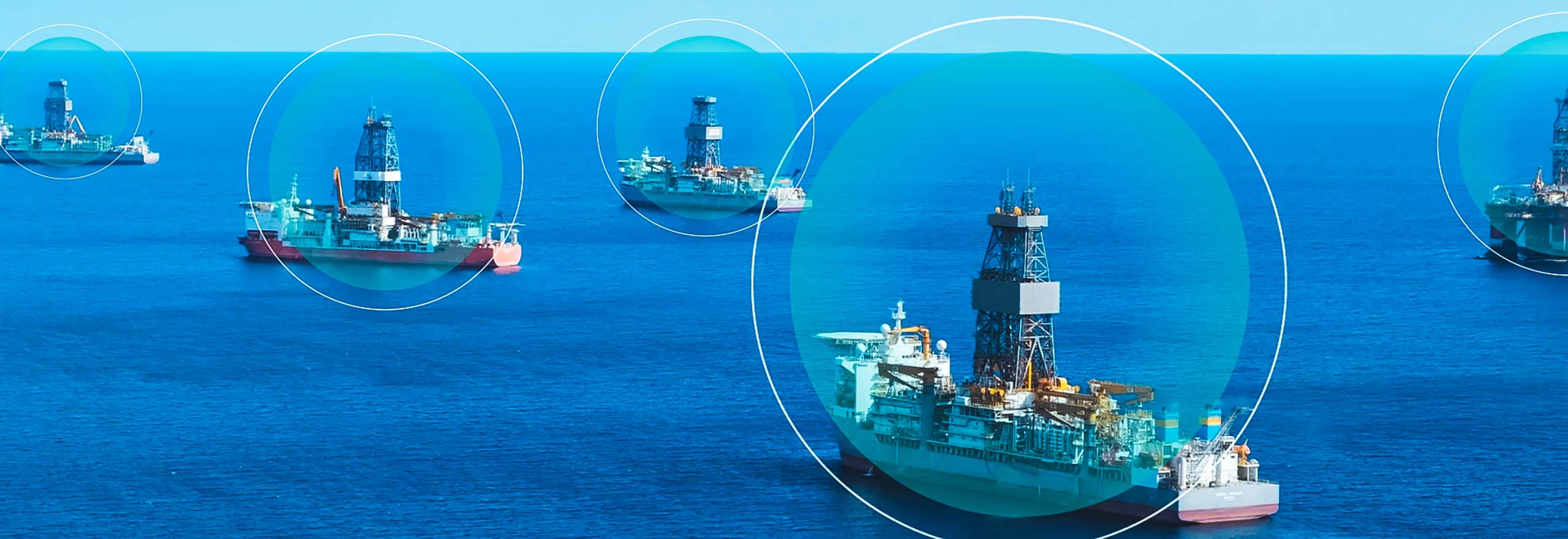
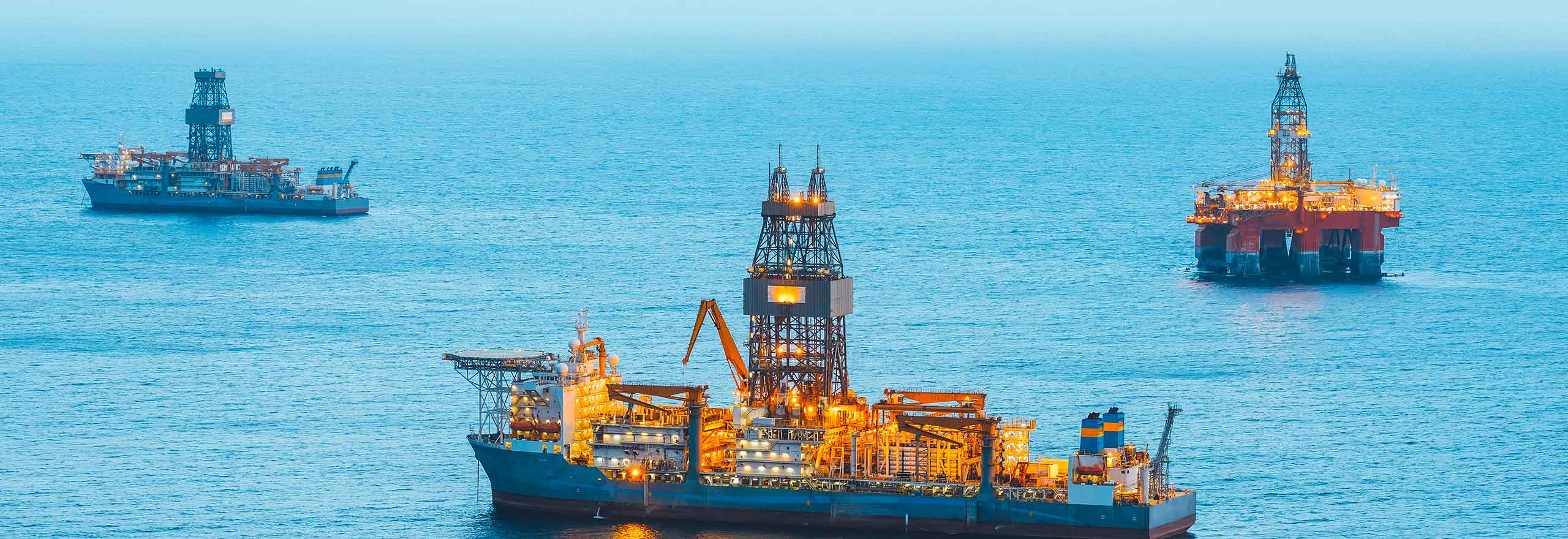
Whether it's for hydrographic survey applications or dynamic positioning (DP) technologies for construction and offshore drilling, you need a system with positioning redundancy, reliability and highly available measurements for safe operations and precise positioning, navigation and timing (PNT).
-
GNSS position
-
Inertial+GNSS
-
Assured PNT
For highly available and global positioning
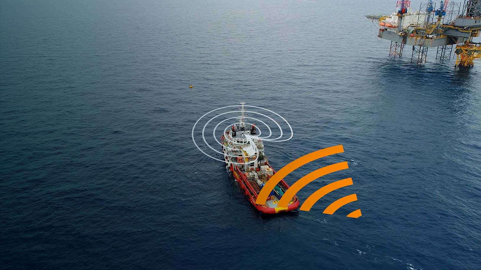
GNSS positioning is used to determine your absolute position in the world.
Multi-constellation and multi-frequency GNSS antennas and receivers provide the backbone to your DP solution. By building compatibility across GNSS constellations, frequencies and signals, satellite positioning becomes highly available; should one signal be unavailable, another system can identify, receive and process.
This availability is made even more robust through global precise point positioning (PPP) correction services. These services use different methods to model and resolve potential error sources, such as atmospheric delays, ensuring the output positioning, navigation and timing measurements are as accurate as possible.

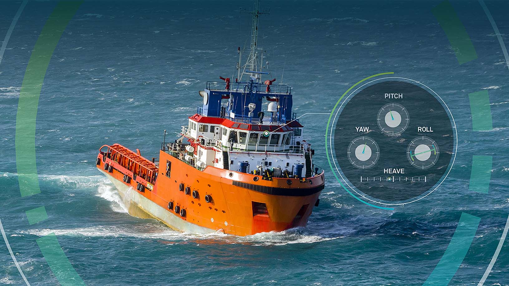
Inertial navigation systems (INS) are used to determine your orientation. For marine applications, inertial measurements are vital with heave, tidal forces and more affecting the accuracy of your positioning, navigation and timing.
Through SPAN GNSS+INS technology from Hexagon | VERIPOS, our receivers deeply couple satellite signals and inertial measurements to output a more precise position. Further, inertial measurements help bridge your positioning solution through GNSS signal interruptions, working to build a more redundant and robust system.
What is deep coupling?
Deep coupling describes how we integrate the INS measurements into how the system tracks GNSS signals. Rather than simply combining the GNSS and INS measurements in the final output position, we use INS to bridge GNSS interruptions as well as enable faster reacquisition of signals. The result is a more robust and redundant system.
Our Introduction to GNSS book explains GNSS+INS deep coupling in more detail.
Assured positioning, navigation and timing (APNT) describes a system that has enhanced resiliency and protections against interruptions caused by interference, jamming or even spoofing. The result is a resilient and robust positioning system.
In addition to the ways PPP correction services solve for clock and orbital errors and SPAN GNSS+INS technology deeply couples GNSS and inertial measurements, there are additional methods of enhancing resiliency that directly address potential interference sources.
GPS anti-jam technology is an added layer of hardware that identifies and mitigates any interference or jamming sources that could disrupt GNSS signals. Our GNSS resilience and integrity technology firmware suite enhances your system's ability to withstand interference.
Different software also enables APNT through 2D/3D visualisation built for DP applications, as well as in highly precise post-processing survey data with heave compensation.
Explore
$ProductName
$SustainabilityImpactLabel
$SustainabilityCTABandHeadingLabel
We’re climbing the automation curve
Our transition to Intelligent automation is accelerating. Ultimately, our innovations will give rise to new technologies and applications - many of which we’ve yet to imagine. Today, every Hexagon solution is mapped and tagged according to its level of automation, so customers can clearly track our progress towards the freedom of autonomy.

Land
Products that make an environmental impact in forest monitoring, material reusability, farming or water usage.

Air
Products that make an environmental impact in renewable energy, noise pollution elimination and e-mobility.

Water
Products that make an environmental impact in saving our oceans, reducing pollution and increasing access to clean water.