Structural Health Monitoring
Maximise safety with real-time monitoring solutions for structures and construction.
Hexagon provides tailored monitoring solutions during construction and throughout the lifecycle of any infrastructure. Our technologies monitor movement 24/7 in real time using a wide range of sensors and software to ensure efficient development and the safety of people and assets.
Monitoring technologies
-
Overview
-
Geodetic sensors
-
Radar
-
Geotechnical and environmental
-
Software
In today’s rapidly urbanising world, it is essential to monitor infrastructure and construction sites above and below ground to ensure safety. Whether monitoring the impact to buildings surrounded by construction, new underground infrastructure like metro lines below dense city centres or high-rise building projects, our monitoring solutions enable communities to progress and prosper without endangering people and assets.
Structural and construction monitoring projects require customised solutions. At Hexagon, our software and expert services work seamlessly with our high-end sensors and third-party geotechnical devices to offer fully integrated solutions, providing peace of mind on even the largest projects.

Geodetic sensors provide critical measurement and positioning data for effectively monitoring structural health, supporting the construction process and protecting surrounding areas. Hexagon has a broad portfolio of total station and GNSS solutions that easily integrate the highest measurement accuracy and precise positioning from satellites into our monitoring solutions.
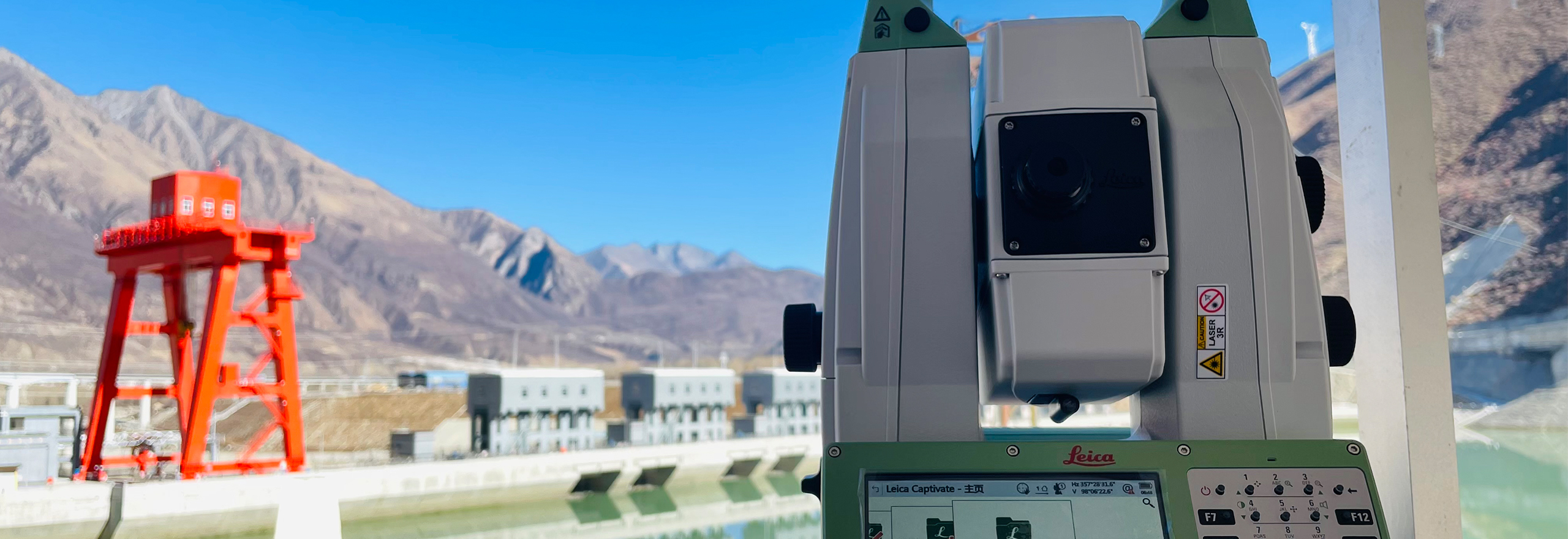
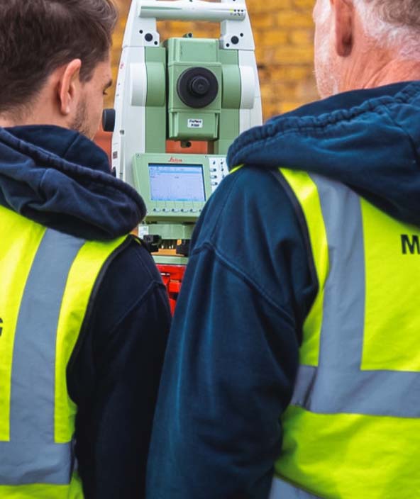
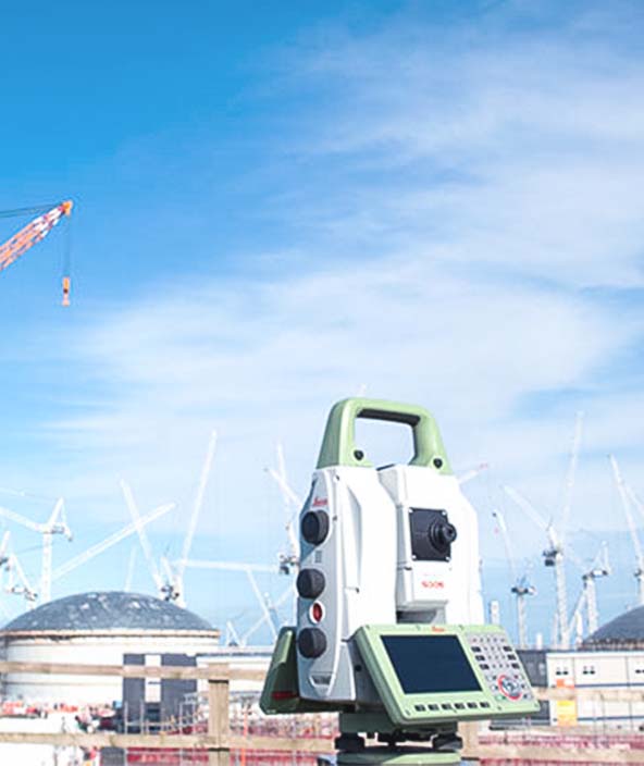
Hexagon pioneered the use of total stations for monitoring applications. With the highest precision, even movements in the millimetres can be detected to ensure experts can make necessary decisions for maximum safety. Thanks to the latest innovations, data collection is secure and continuous, and point measurements can be supplemented with images and point clouds, extending total station monitoring applications.
Our GNSS solutions complement total stations and radar for precise movement detection by computing positions up to 20 times per second, operating continuously in all weather conditions and delivering the highest-accuracy positioning. Fully integrated into our monitoring software suite and tracking multiple satellite systems, Hexagon’s GNSS solutions deliver confidence.

Hexagon is a world leader in radar systems based on microwave interferometry. Operating in real time, our radar rapidly and accurately identifies and pinpoints the location of structural defects, helps civil and structural engineers optimise limited budgets and averts potentially catastrophic accidents.
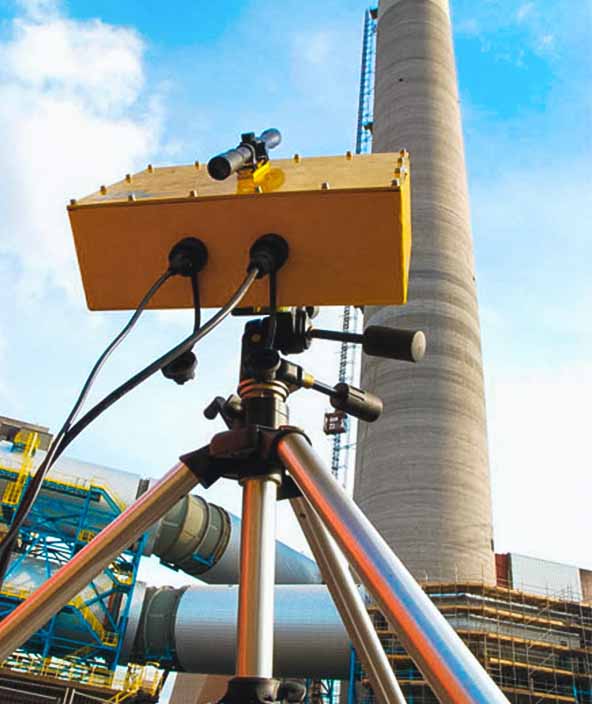
Our interferometric radar technology enables remote monitoring of structural movements in dams, bridges, towers and buildings with sub-millimetre accuracy. Additionally, our radar generates a continuous supply of deformation data and real-time mapping of simultaneous displacements.
Unprecedented measurement speed and accuracy with a sampling rate up to 200 times per second at distances up to 5 kilometres means our radar can detect even the smallest vibrations. Operating day and night and in all weather conditions, our radar solutions are robust and reliable.

Hexagon’s structural monitoring solutions integrate a range of geotechnical and environmental sensors, such as tilt sensors, strain gauges and more, to detect and provide additional information about movements.
Hexagon’s monitoring experts consult on geotechnical and environmental sensors to complement and fill in gaps from geodetic and radar sensors, providing comprehensive monitoring coverage for construction sites, existing structures and heritage projects.
Our solutions seamlessly integrate a variety of third-party sensors and ensure continuous data acquisition using edge technology. Compatible with our monitoring software, all this data works toward creating the most complete picture of the monitored structures and surrounding areas.

Hexagon’s portfolio of monitoring hardware is perfectly complemented with software tailored to structural and construction monitoring applications. Our software automates measurements, eliminates data gaps, aggregates and analyses data and creates alerts and reports.
Supporting accurate and reliable data acquisition from geodetic, geotechnical, environmental and radar sensors, our solutions enable data integration between geodetic and radar data sets to provide a clear and comprehensive understanding of the structures and surrounding areas.
Measurement results are easily visualised and configured to issue alerts when movements exceed defined limits. Together with cloud services, monitoring results are accessible anytime and anywhere. Our software solutions also leverage edge computing technology to continuously collect data despite communication disruptions.

- Overview
In today’s rapidly urbanising world, it is essential to monitor infrastructure and construction sites above and below ground to ensure safety. Whether monitoring the impact to buildings surrounded by construction, new underground infrastructure like metro lines below dense city centres or high-rise building projects, our monitoring solutions enable communities to progress and prosper without endangering people and assets.
Structural and construction monitoring projects require customised solutions. At Hexagon, our software and expert services work seamlessly with our high-end sensors and third-party geotechnical devices to offer fully integrated solutions, providing peace of mind on even the largest projects.

- Geodetic sensors
Geodetic sensors provide critical measurement and positioning data for effectively monitoring structural health, supporting the construction process and protecting surrounding areas. Hexagon has a broad portfolio of total station and GNSS solutions that easily integrate the highest measurement accuracy and precise positioning from satellites into our monitoring solutions.
Hexagon pioneered the use of total stations for monitoring applications. With the highest precision, even movements in the millimetres can be detected to ensure experts can make necessary decisions for maximum safety. Thanks to the latest innovations, data collection is secure and continuous, and point measurements can be supplemented with images and point clouds, extending total station monitoring applications.
Our GNSS solutions complement total stations and radar for precise movement detection by computing positions up to 20 times per second, operating continuously in all weather conditions and delivering the highest-accuracy positioning. Fully integrated into our monitoring software suite and tracking multiple satellite systems, Hexagon’s GNSS solutions deliver confidence.

- Radar
Hexagon is a world leader in radar systems based on microwave interferometry. Operating in real time, our radar rapidly and accurately identifies and pinpoints the location of structural defects, helps civil and structural engineers optimise limited budgets and averts potentially catastrophic accidents.
Our interferometric radar technology enables remote monitoring of structural movements in dams, bridges, towers and buildings with sub-millimetre accuracy. Additionally, our radar generates a continuous supply of deformation data and real-time mapping of simultaneous displacements.
Unprecedented measurement speed and accuracy with a sampling rate up to 200 times per second at distances up to 5 kilometres means our radar can detect even the smallest vibrations. Operating day and night and in all weather conditions, our radar solutions are robust and reliable.

- Geotechnical and environmental
Hexagon’s structural monitoring solutions integrate a range of geotechnical and environmental sensors, such as tilt sensors, strain gauges and more, to detect and provide additional information about movements.
Hexagon’s monitoring experts consult on geotechnical and environmental sensors to complement and fill in gaps from geodetic and radar sensors, providing comprehensive monitoring coverage for construction sites, existing structures and heritage projects.
Our solutions seamlessly integrate a variety of third-party sensors and ensure continuous data acquisition using edge technology. Compatible with our monitoring software, all this data works toward creating the most complete picture of the monitored structures and surrounding areas.

- Software
Hexagon’s portfolio of monitoring hardware is perfectly complemented with software tailored to structural and construction monitoring applications. Our software automates measurements, eliminates data gaps, aggregates and analyses data and creates alerts and reports.
Supporting accurate and reliable data acquisition from geodetic, geotechnical, environmental and radar sensors, our solutions enable data integration between geodetic and radar data sets to provide a clear and comprehensive understanding of the structures and surrounding areas.
Measurement results are easily visualised and configured to issue alerts when movements exceed defined limits. Together with cloud services, monitoring results are accessible anytime and anywhere. Our software solutions also leverage edge computing technology to continuously collect data despite communication disruptions.

Explore
Hexagon solutions help you visualise, document and verify every stage of construction projects.
 FeaturedProduct
Hexagon’s Deviation Analysis automates quality assurance by comparing as-built scan data to 3D design models, detecting deviations, predicting clashes, and providing actionable insights to improve construction accuracy and reduce rework.
-
×Conditional autonomyAutomatically identifies construction deviations and predicts clashes using AI-driven scan data for proactive quality assurance and insights.
- Documentation and verification solutions
Know where your project stands, what conditions impact progress and communicate with stakeholders from anywhere, anytime.
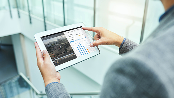 Product
Experience complete jobsite visibility, tracking activities and safety with OxBlue’s AI-powered image-analysis features.
-
×High autonomyGet real-time project information. Easily monitor, manage and market construction projects from anywhere.
-
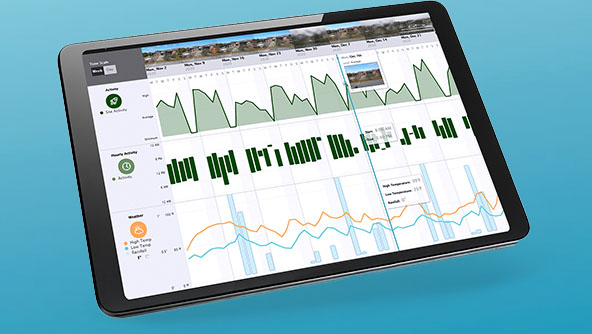 Product
An easy-to-use construction camera platform providing remote access and visibility to the jobsite via clear jobsite imagery.
-
×Partial autonomyIncrease project transparency with on-demand jobsite access and easy sharing tools.
-
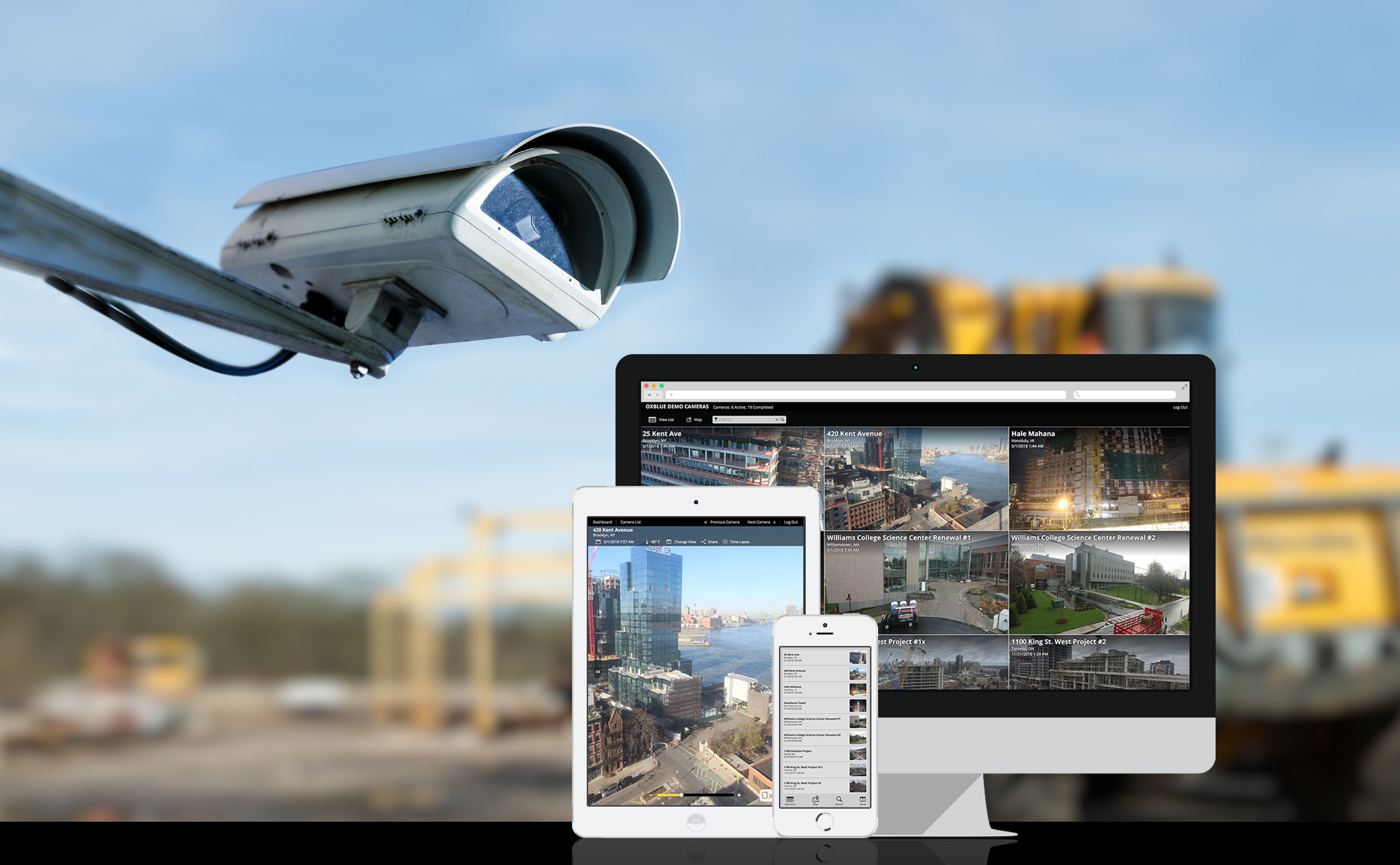 Product
Document each stage of a project and create customised updates for project meetings with professional time-lapse videos.
-
×Conditional autonomyCapture projects progress with OxBlue’s time-lapse technology, documented and supported by a team of expert video editors.
-
GNSS systems connect hardware and software to enable positioning tasks with precision and accuracy.
- GNSS systems
Receive and deliver accurate and reliable data with reference servers that support global GNSS constellations.
 Product
Leica GR50 is a GNSS server supporting all global GNSS constellations for highly accurate and reliable positioning data.
-
×Human-Assisted autonomyWhen sensors are setup and connected to the receiver, it autonomously receives and transmits data to the office software.
-
- GNSS systems
Integrated software for managing GNSS correction services, along with processing and visualising GNSS data.
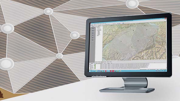 Product
Leica GNSS Spider is a web-based solution for managing real-time and post-processing GNSS services.
-
×Human-Assisted autonomyUsing continuously streamed or periodically downloaded data, the software computes station coordinates automatically.
-
3D laser scanning solutions capture, process, manage and deliver point cloud data, providing a field-to-finished workflow.
- Laser scanning
Delivering outstanding range, speed and highest quality 3D data, Leica Geosystems’ laser scanners are the perfect partner for any task.
 Product
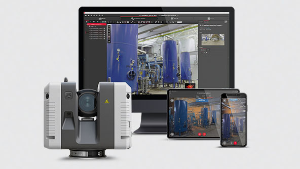
Leica RTC360 is a portable, automated and high-performing 3D laser scanner that captures and pre-registers data in real time.
-
×Partial autonomyUsers perform all tasks on site via a mobile device to autonomously capture and pre-register the surrounding environment.
 Product
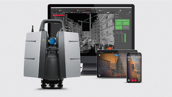
Versatile, high-speed 3D laser scanners that provide accuracy and range for demanding projects.
-
×Human-Assisted autonomyUsers perform all tasks on-site with the assistance of a tablet computer to perform semi-automated data pre-registration.
 Product
A long-range 3D laser scanner that enables scans of inaccessible places at a safe distance and maximises productivity.
-
×Human-Assisted autonomyUsers perform all tasks on site with the assistance of a tablet computer to perform semi-automated data pre-registration.
- Laser scanning
Setting the industry standard to capture, visualise, extract, analyse, share and represent point cloud data.
 Product
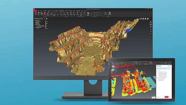
A simple workflow-based software that centralises full-scale point cloud management, analysis and modelling.
-
×Human-Assisted autonomyFull-scale point cloud management with automated point cloud analysis and modelling into one simple workflow-based platform.
-
Automatic, digital, and rotating laser levels for construction, surveying, monitoring and more.
- Levels
Automatic optical levels are quick to set up, precise and offer the highest price-to-performance ratio.
 Product
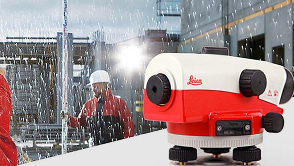
The Leica NA series of levels are extremely robust, highly precise and easy to use on any job site.
-
×Human-Assisted autonomyThe internal compensation mechanism of the NA Series automatically keeps the sighting line level.
-
- Levels
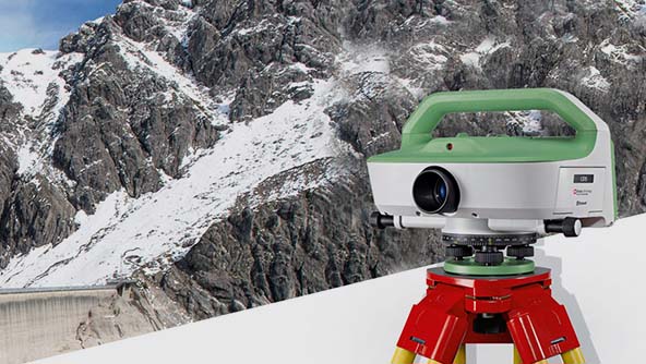
Easy-to-use digital levels measure quickly and reduce errors.
 Product
Leica LS15 and LS10 digital levels are ideal for levelling tasks on all sites and have automated functions nd 0.2mm accuracy.
-
×Human-Assisted autonomyThe Leica digital levels enable camera aided aiming, automated focussing and digital reading of the levelling staff.
-
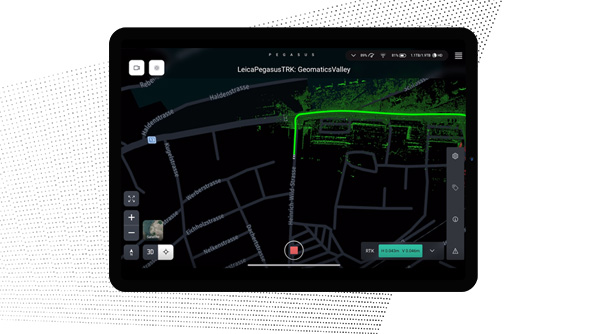
Mobile mapping systems include sensors and software for the capture, post-processing and storing of gathered data.
 Product
Plan and execute projects with visual and audio feedback along the route to make data collection failure a thing of the past.
-
×Human-Assisted autonomyDedicated processing workflows in the field are automated to increase efficiency and collaboration.
-
 Product
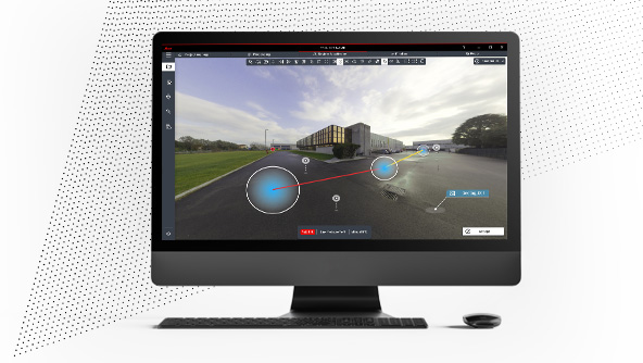
Deliver high-resolution point clouds with classification, anonymised images and exchangeable formats in one batch-process.
-
×Human-Assisted autonomyDedicated processing workflows in the office are automated to increase efficiency and collaboration.
-
 FeaturedProduct
A complete mobile mapping solution from a single provider, including software to capture, post-process, and store acquired data.
-
×Human-Assisted autonomyTravel along a route and activate specific functions to automate data capture.
-
Monitoring solutions combine monitoring sensors, GNSS receivers and software to deliver real-time movement insights.
- Monitoring solutions
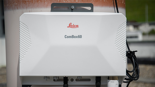
Devices for communication and power management.
 Product
Communication and power management for simple in-field monitoring sensor setup that supports IoT and autonomous operation.
-
×High autonomyAutonomous control of field sensors in communication failure and remotely stores data until connections are restored.
-
- Monitoring solutions
State-of-the-art technology applied for warning and alarm systems.
 Product
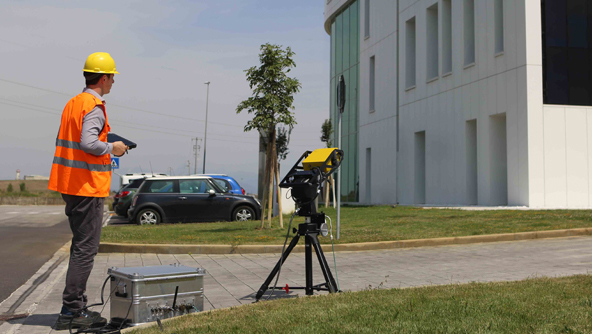
Compact remote sensing monitoring system designed for early warning and real-time measurements of sub-millimetric displacements in buildings, dams, and cut-slopes.
-
×Partial autonomyThe system autonomously acquires radar data, manages the supply system and provides diagnostic information.
-
 Product
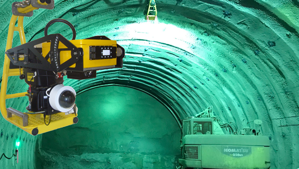
Remote sensing monitoring system designed for early warning and real-time measurements of sub-millimetric displacements at tunnel face.
-
×Conditional autonomyThe system automatically trigger audible and visible alert in case of tunnel excavation front face instability.
-
 Product
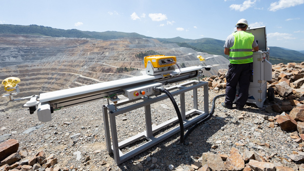
Ground-based semi-permanent radar for long-range monitoring of slopes in open pit mines, landslides and dams monitoring.
-
×Partial autonomyThe system autonomously acquires radar data, manages the supply system and provides diagnostic information.
-
 Product
Innovative radar system able to locate, track and collect information on rockfalls, avalanches and debris flows in real time
-
×Conditional autonomyAfter user configuration, the system automatically detects rockfall events and triggers alerts.
-
- Monitoring solutions
Deformation monitoring software ensures consistent data communication and creates visualisations, alerts and reports.
 Product
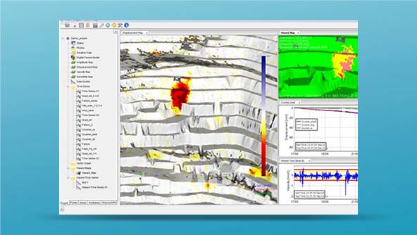
Software to manage slope stability risks, providing reliable data for fast interpretation and decision-making.
-
×Partial autonomyAutomatic alert and notification based on user-defined criteria applied to radar measurement (Hazard Map and Time series).
-
 Product
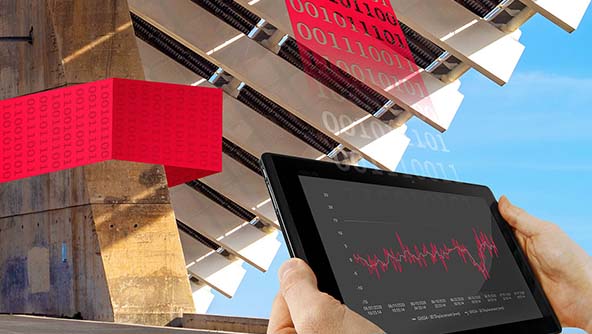
Automatic deformation software connects to any sensor hardware and monitors, collects, controls, processes and combines data.
-
×Partial autonomySensors are set up in the software with defined thresholds, the software runs and only triggers for intervention when needed.
-
Measurements have never been so easy to perform as with Hexagon's total stations.
- Total stations
A self-learning measurement instrument that combines robotic total station and laser scanning technologies.
 Product
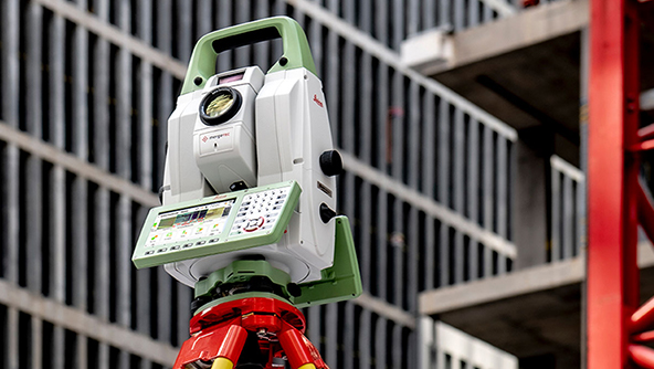
This multistation combines high-end total station capabilities with 3D laser scanning, GNSS connectivity and digital imaging.
-
×High autonomyThe MS60 enables to perform automated all surveying and layout tasks with a single instrument, including 3D laser scanning.
-
- Total stations
Achieve the highest accuracy and reliability with our total stations that provide superb angle and distance technology.
 Product
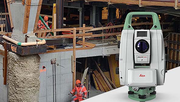
The pefect total station for permanent or campaign monitoring projects, performing secure and continuous data collection.
-
×Human-Assisted autonomyThe TM60 enables autonomous measurement and monitoring of complex structures and objects.
-
