
How AST SpaceMobile standardised metrology operations with SpatialAnalyzer
Establishing a metrology foundation built for speed, accuracy, and scalability.
The challenge: Outgrowing a simple solution
When Stephen Robbins joined AST SpaceMobile as Metrology and Calibration Manager, the tooling department was using Verisurf with two laser trackers. That approach worked early on, when measurement tasks were limited to straightforward tooling fixtures at fixed locations.
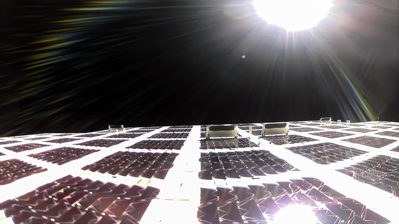
As the company progressed from tooling validation to full spacecraft verification, measurement requirements increased dramatically. AST SpaceMobile’s satellites incorporate approximately 220 square metres of phased-array antennas with thousands of elements, requiring precise inspection of antenna locations, star tracker positioning, QV-to-azimuth alignments, and critical alignment features across the entire vehicle.
Verisurf could not support these advanced workflows. The software lacked the ability to robustly link multiple coordinate systems, perform verification checks using standard spherically mounted retroreflectors (SMRs), or confirm that alignment points remained stable throughout a measurement session. Without reliable drift detection, the team risked introducing errors caused by vibration, temperature changes, or normal facility activity.
“We weren’t able to link coordinate systems together and perform the verification checks we needed,” Robbins explained. Compounding the challenge, production schedules left no opportunity to halt production during measurements. AST SpaceMobile needed a metrology solution capable of maintaining accuracy in a live manufacturing environment while coordinating measurements across highly complex spacecraft geometry.
The solution: Building on proven experience
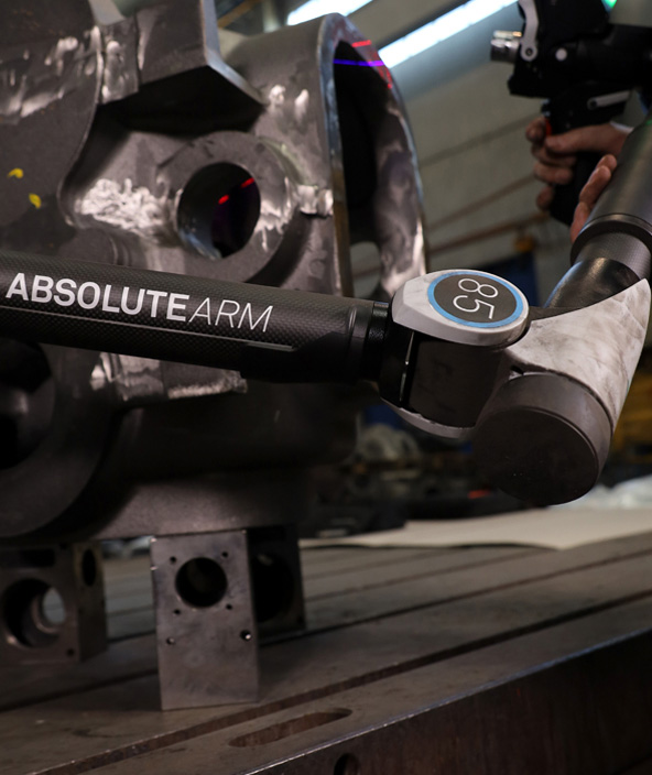
Stephen Robbins had previously used SpatialAnalyzer at Qarbon Aerospace and knew it was capable of handling the complexity AST SpaceMobile now faced. When he identified the growing gap between measurement requirements and existing tools, he rapidly standardised metrology operations on a platform he trusted.The rollout began with SpatialAnalyzer supporting offline measurement planning, as well as inspection with the facility’s Absolute Arm and its existing laser tracker. Using SpatialAnalyzer’s built-in ERS, the team was now able to link multiple measurement locations into a single, verified coordinate system – the key capability Verisurf lacked.
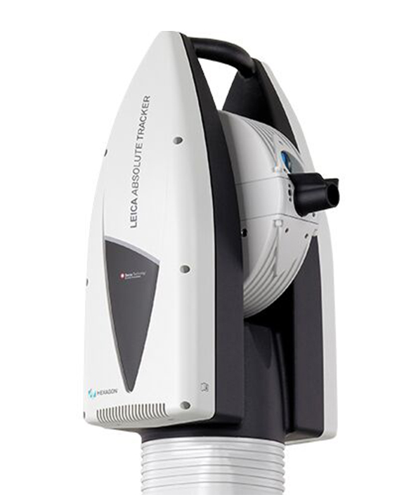
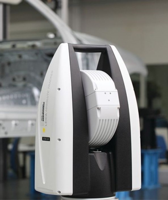
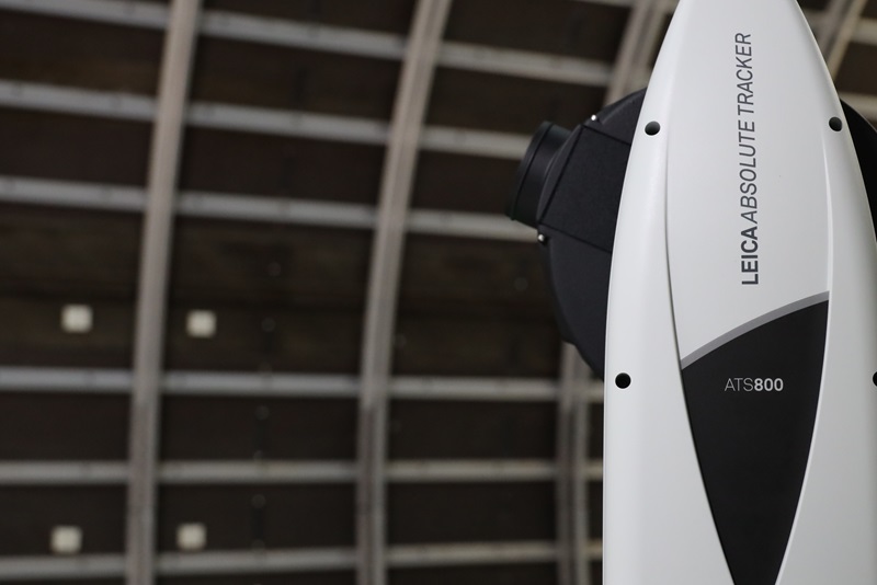
From there, standardisation accelerated. AST SpaceMobile expanded to multiple Hexagon laser trackers across the facility, all running SpatialAnalyzer, and later added direct scanning capability with a Leica Absolute Tracker ATS800. After seeing the benefits of unified workflows, the tooling department also transitioned to SpatialAnalyzer, supported by a new laser tracker from Hexagon.
Hexagon’s support team played a key role in the transition, training AST SpaceMobile personnel on everything from basic point measurement to advanced capabilities such as scanning, watch windows, and measurement plan development.
The workflow: Streamlined from start to finish
The workflow begins when engineering delivers CAD models, dimensions, and measurement requirements. From there, the metrology team builds a SpatialAnalyzer measurement plan and reusable template that automatically populates point groups as data is collected. Once measurements are complete, reports are generated quickly using predefined formats specified by engineering.This approach represents a major shift from previous workflows. In the past, the team had to locate stable positions and construct structure references to align measurements to the model – often spending up to three hours establishing coordinate systems for each session.
With SpatialAnalyzer’s Enhanced Reference System (ERS), the team connects directly to nominal points, establishes the reference frame, and proceeds with measurement, reducing setup time by approximately 60%.
“We rely on ERS checks to ensure our datum systems don’t shift, especially while work is actively happening around the spacecraft,” said Robbins. Templates further accelerate recurring inspections. Each time a measurement plan is executed, new data is automatically organised into the correct point groups, allowing reports to be created through simple drag-and-drop rather than manual data handling.
The integrated ERS workflow enables AST SpaceMobile to verify an entire spacecraft in a single setup. Measurements can be captured around the full circumference of the satellite without creating multiple, disconnected coordinate systems – ensuring consistency and accuracy across the thousands of measurement points required for each build.
Real-time feedback and environmental control
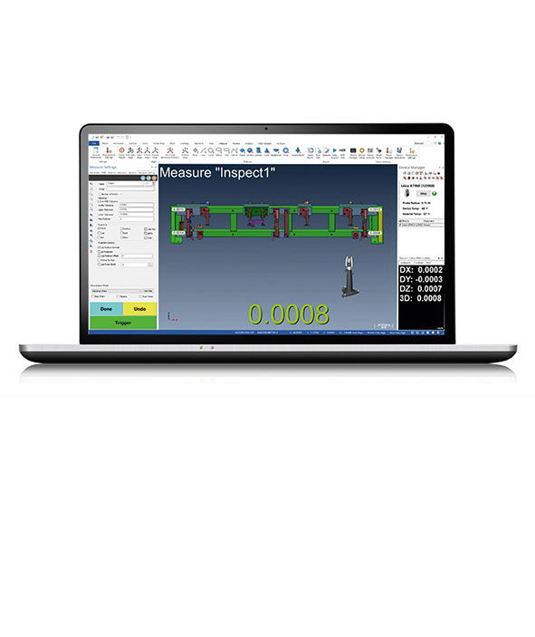
SpatialAnalyzer’s watch windows are essential to AST SpaceMobile’s alignment workflows. During component installation, mechanics receive real-time feedback on critical features while the metrology team monitors alignment as fasteners are torqued into place. Once installation is complete, the team captures full dimensional data, creating permanent inspection records tied to each spacecraft serial number.Environmental monitoring is equally critical on a busy production floor. Through Tracker Pilot integration, SpatialAnalyzer continuously monitors temperature changes and vibration at key reference points. When conditions are within acceptable limits, measurements proceed even as work continues around the spacecraft.
If conditions exceed defined thresholds, the system automatically blocks data collection and alerts the team. Rather than halting production for extended periods, AST SpaceMobile now pauses work only when necessary. Combined with verification against known standards, built-in temperature compensation ensures reliable measurement accuracy despite ongoing activity.
Star tracker alignment represents another high-value application. These instruments determine spacecraft orientation in orbit, making their precise placement critical. The metrology team measures star tracker positions and generates point clouds that enable the flight software team to model true installed geometry. When misalignments exist, the software compensates using these measured offsets.
SpatialAnalyzer is also used to certify azimuth- elevation-roll drives that position communications antennas. By placing SMRs on the drives and commanding combined translational and rotational movements, the team verifies that drive feedback matches actual antenna pointing. This process ensures accurate directional control – an essential requirement for reliable cellular communications from orbit.
The results: Unified operations and room to grow
Standardising on SpatialAnalyzer delivered immediate operational gains while laying the groundwork for future automation. With a single unified platform, AST SpaceMobile now uses consistent workflows across tooling and production, enabling cross-functional collaboration. Measurement quality also improved substantially through integrated verification of the coordinate system and environmental monitoring.Linking multiple measurement locations through the ERS and accounting for vibration and temperature changes enables the team to maintain aerospace-grade confidence even in an active production environment.
Auto-populated point groups and simple reporting eliminated data transcription steps, reducing time and potential errors.
Robbins’ team successfully built calibration traceability into their quality systems. Working to AS9100 quality requirements and ISO 17025 calibration standards, they maintain complete records of measurement devices, calibrations, and torque wrench load tests – giving their Flight Assurance organisation the traceability infrastructure needed for eventual regulatory reporting.
Looking ahead: Automation takes the next step
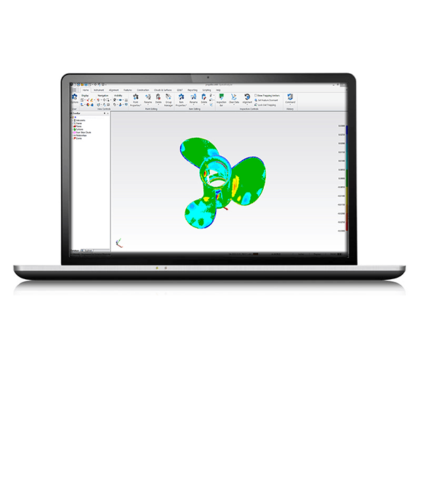
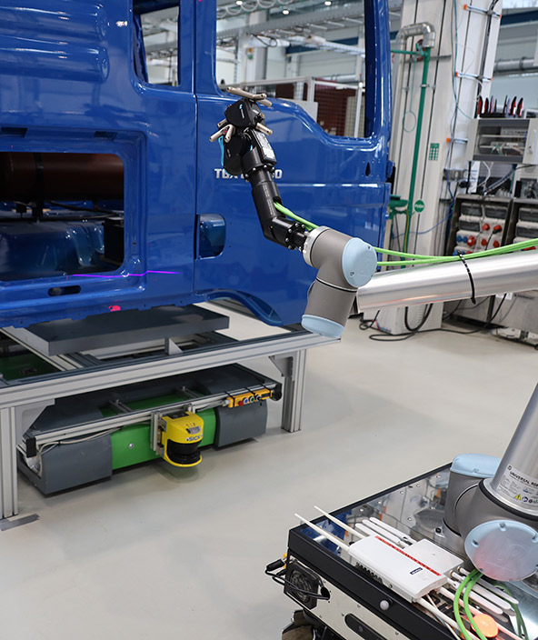
With core metrology operations running smoothly, AST SpaceMobile is now exploring advanced automation built on SpatialAnalyzer’s foundation. The team is evaluating automated guided vehicles (AGVs) equipped with several Leica Absolute Tracker ATS800 systems to autonomously navigate spacecraft and capture measurements within integrated coordinate systems.Robotic arms paired with AT960 laser trackers are another frontier. These systems could automatically measure components, subassemblies, and full spacecraft surfaces, compare results to CAD models via point clouds, and generate heatmap reports. By replacing manual setup – including coordinate systems, ERS references, and scanning – these automated routines could reduce verification cycle times. The template-based workflow cut the measurement cycle by 80% compared to manual setup.
Automation builds directly on the scripted measurement plans and standardised workflows the team developed over the past eight months in SpatialAnalyzer. Integrating automation enables less experienced operators to run complex measurement sequences. It also enables technical staff to focus on developing next-generation systems while production continues uninterrupted.