Command and Control C2
Power command and control applications and create dynamic common operational pictures.

Enhance your common operational picture with artificial intelligence
Create dynamic C2 applications with a COP powered by artificial intelligence, machine learning and advanced computing.
Hexagon helps defence organisations and systems providers integrate, visualise and analyse mission-critical data in dynamic common operational pictures that support better situational awareness and faster, more informed decision-making.
Overview
In today’s rapidly changing defence landscape, militaries, systems integrators and OEMs need mission-critical data available quickly, securely and all in one place.
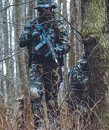
With Hexagon’s command and control capabilities, organisations can deploy applications that fuse and feature imagery, maps, military symbology, terrain models, real-time weather data, live video feeds, moving tracks, target indicators and more.
Our command and control solutions power dynamic common operational pictures in command centers, the field and onboard systems to deliver valuable insights and give defence operators the ability to conduct missions safely and effectively.

Explore products
Our geospatial platforms provide tools for building real-time situational awareness applications and interactive dashboards.
 FeaturedPlatform
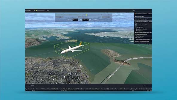
An API for building mission-critical geospatial desktop and onboard applications in C++ and C#
-
×Partial autonomyProvides the foundations for advanced geospatial analytics applications that can be used to automate operations.
 FeaturedPlatform
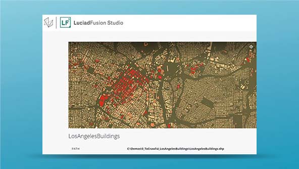
An all-in-one server for managing and publishing large volumes of data efficiently to numerous applications
-
×Partial autonomyProvides the foundations for advanced geospatial analytics applications that can be used to automate operations.
 Platform
An API for building mission-critical geospatial desktop and onboard applications in Java
-
×Partial autonomyProvides the foundations for advanced geospatial analytics applications that can be used to automate operations.
 FeaturedPlatform
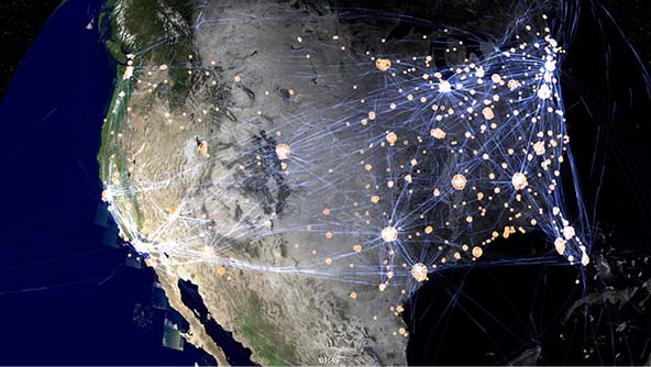
A JavaScript API for building geospatial web applications that deliver desktop-like performance
-
×Partial autonomyProvides the foundations for advanced geospatial analytics applications that can be used to automate operations.