SDKs (visualisation and analysis)
Build high-performance maps and applications for 2D and 3D data visualisation and analysis.

Visualising the impact of pollution on public health
Discover how Integrytis uses Hexagon’s SDKs for visualising and analysing pollution in real time.
Hexagon gives organisations and developers powerful SDKs for building high-performance geospatial applications that deliver 2D and 3D situational awareness and real-time location intelligence.
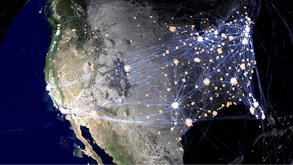
Overview
Governments and businesses, including systems integrators and original equipment manufacturers, need to develop and deploy geospatial applications that empower their systems and end users with better situational awareness for planning and operations.
Hexagon provides organisations and developers with a powerful set of SDKs for building high-performance desktop, on-board, browser and mobile applications that harness the power of the GPU. Featuring connections to any database and more than 200 data formats and highly accurate 2D and 3D visualisation and analysis capabilities, including of large amounts of moving data, our SDKs help organisations create domain-specific applications for:
- Defence and intelligence
- Aviation and maritime
- Railways and roadways
- Government mapping and planning
- Utilities and communications
- Buildings and infrastructure
- Industrial and commercial facilities
- Public safety and security
- Mining and natural resources
- And more

Explore products
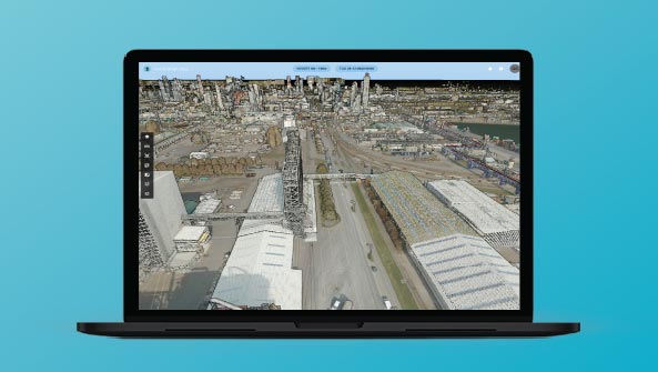
Our geospatial platforms provide tools for building real-time situational awareness applications and interactive dashboards.
 Solution
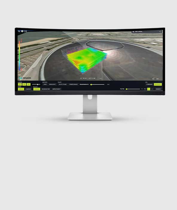
Real-time location intelligence and data visualization for complex site operations
 FeaturedPlatform
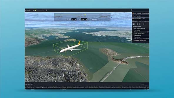
An API for building mission-critical geospatial desktop and onboard applications in C++ and C#
-
×Partial autonomyProvides the foundations for advanced geospatial analytics applications that can be used to automate operations.
 FeaturedPlatform
An all-in-one server for managing and publishing large volumes of data efficiently to numerous applications
-
×Partial autonomyProvides the foundations for advanced geospatial analytics applications that can be used to automate operations.
 Platform
An API for building mission-critical geospatial desktop and onboard applications in Java
-
×Partial autonomyProvides the foundations for advanced geospatial analytics applications that can be used to automate operations.
 FeaturedPlatform
A JavaScript API for building geospatial web applications that deliver desktop-like performance
-
×Partial autonomyProvides the foundations for advanced geospatial analytics applications that can be used to automate operations.