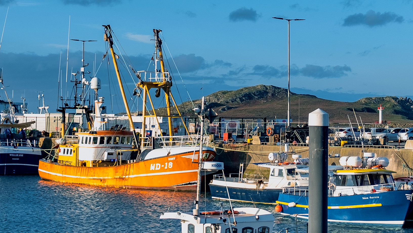
Tracking marine vessels in real time to enforce Common Fisheries Policy
Irish Naval Service uses solution built on Hexagon technology and provided by IMGS to monitor, report and analyse fishing activity
The challenge
The Irish Naval Service is tasked with enforcing the European Union (EU) Common Fisheries Policy (CFP) throughout Irish waters. This policy regulates the management of European fishing fleets and the conservation of fish stocks. To enforce the CFP, the Naval Service needed a modern, web-based solution to track fishing vessels in real time, with enhanced reporting and analytics capabilities.
The Naval Service’s previous system ran on unsupported hardware and was extensively customised through many years of coding. Implementing updates was burdensome and expensive. Additionally, the agency relied on three loosely coupled systems, making data viewing tedious, as end users had to move from one system to another. Manual reporting processes could take days to complete.
The solution
The agency turned to longtime Hexagon partner IMGS to replace its unsupported legacy solution with one built on M.App Enterprise, Hexagon’s unified geospatial enterprise platform.
The commercial off-the-shelf (COTS) platform replaced all three systems and provides a common operating picture (COP) of fishing activity for all Naval Service users, on shore or on patrol vessels, covering the agency’s entire scope of work.
Learn More
Also explore
M.App Enterprise

Sustainability of urban green spaces