How do maps know so much?
The Power of Hexagon's Intelligence for Geospatial.
The Magic Behind the Map
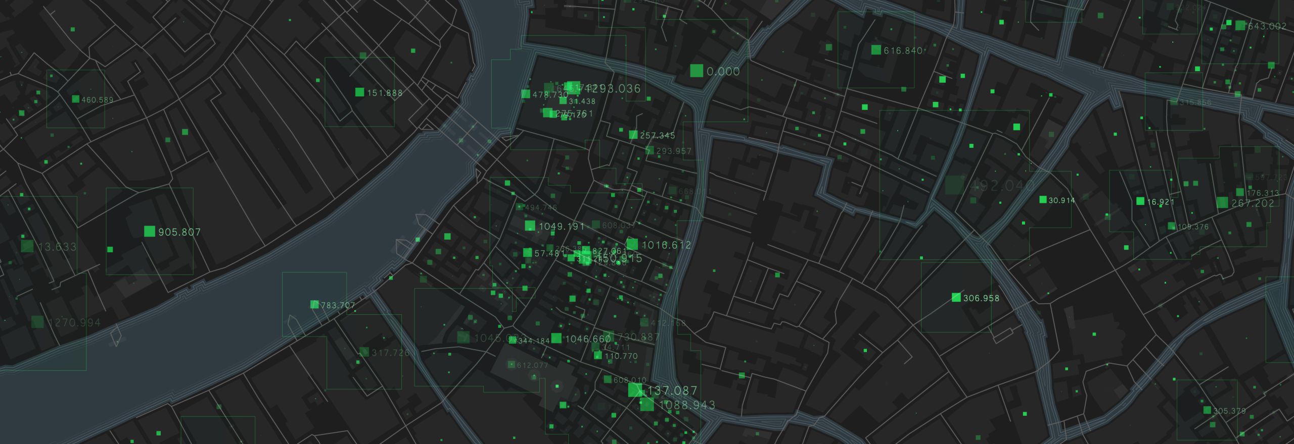
At first glance, a map may seem like a simple tool that plots coordinates and displays locations. However, today's maps offer so much more than basic geography. We can explore intricate details such as terrain, elevation, traffic conditions, street views, business information, weather updates, and a wealth of other valuable data. This remarkable transformation from a mere map to an all-encompassing resource is made possible by Hexagon's Intelligence for Geospatial.

Harnessing the Power of Data
Hexagon helps in creating these rich maps by intelligently combining data from various sources, including Photogrammetry, Cartography, Bathymetry, 3D laser scanning, and even customized enterprise or government data. The result? Real-time access to geospatial information that is not only enriched but also contextualized to cater to the specific needs of users.
Beyond Land Surveying
While land surveying may be its most obvious application, the reach of Hexagon's Intelligence for Geospatial extends far beyond that. It's a game-changer in industries like architecture, engineering, and construction (AEC), where it aids in precise planning and execution. Building Intelligence Modeling (BIM) benefits from its capabilities, and in mining, it revolutionizes resource management.
Leica's BLK Series: Mastering the Art of Geospatial Data Capture
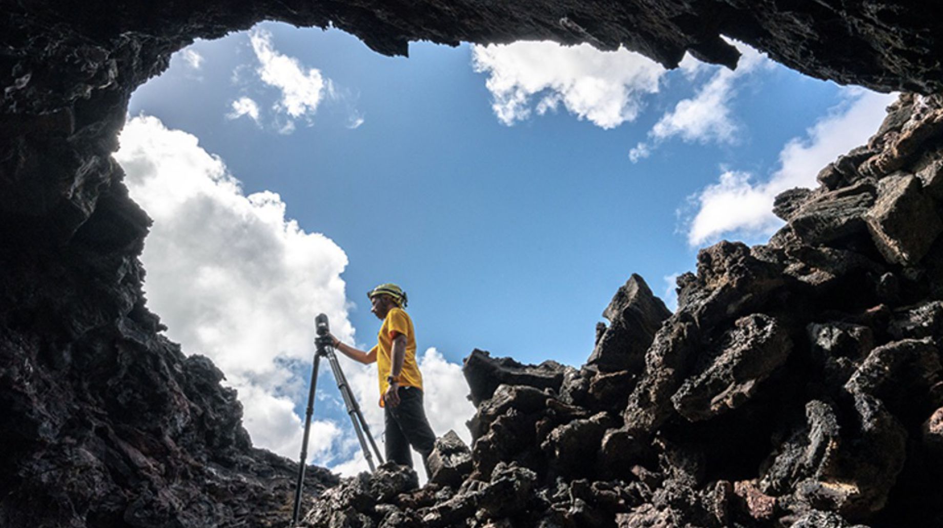
Leica's BLK series of devices, including the BLK360 and BLK2GO, excel at capturing an intricate web of points – known as Point Cloud – with exceptional speed and precision. These devices employ laser scanning technology to rapidly measure distances and create a highly detailed representation of the physical world. The result is a point cloud that offers a stunningly accurate depiction of objects, surfaces, and spaces in three dimensions.

Hexagon's Intelligence for Geospatial helps build smart cities by providing real-time location intelligence and facilitating data visualization for complex site operations.
A World of Possibilities
The applications of Hexagon's Intelligence for Geospatial are truly boundless. From transportation and logistics to e-commerce and retail, from college campuses to real estate and utilities, it leaves its mark. Even government agencies can harness its power to create data layers that reveal population density and demographic information. This integration of data from various sources provides a comprehensive and cohesive view of critical information.
Mapping the Future
As we continue to embrace the Intelligence of Things, Hexagon remains at the forefront, reshaping the way we interact with and utilize maps. The next time you open your map app, remember that there's more than meets the eye, thanks to Hexagon's Intelligence for Geospatial. Explore, discover, and navigate the world with confidence, all thanks to the intelligence that lies beneath the surface.
This is Hexagon’s Intelligence of Things.
Know more about Hexagon’s Intelligence for Geospatial Platforms and Geosystems (Devices and Technologies).

Watch Rajesh Dhyani, Executive Director, Software Development - Geosystems, talk about Hexagon's Intelligence for Geospatial.


