Maritime planning and operations
Streamline port and maritime planning and operations with real-time maps, data and capabilities.

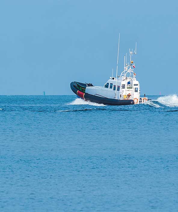
Analysis and visualisation for maritime situational awareness
Maritime experts discuss how port authorities and companies can increase safety and streamline operations.
Hexagon provides commercial companies, port operators and government authorities with solutions for aiding, monitoring and streamlining maritime operations.
-
Overview
-
Port management
-
Maritime vessel tracking
Maritime chart management and distribution
Nautical charts are essential for safe and efficient navigation across the ocean and along coasts, showing coastal boundaries, water depths, sea bottom configurations and more. These complex charts require the combination of many data sources, including information from hydrographic surveys and about changing hazards.
Hexagon’s software helps maritime organisations easily integrate and manage large data sets from different sources and create and update nautical charts. We also support flexible chart distribution and display, from producing hardcopy products to viewing electronic charts online and onboard vessels.

Ports are essential to commerce, but managing these extensive facilities and their complex operations is challenging for port authorities and operators. They need to track and monitor vessels near the port, docking and loading schedules, harbor assets and infrastructure, port safety and security and more.
Hexagon equips organisations with advanced capabilities for digitally managing port operations, from robust data visualisation and analysis tools for tracking vessels and assets to platforms for supporting port infrastructure design, construction, operation and maintenance through centralised data management, work management and business applications.

Tracking maritime vessels is critical to streamlining commercial shipping operations, detecting illegal activities, securing ports and more. To support these important monitoring activities, companies and governments need applications that can leverage a large amount of diverse data.
Hexagon provides platforms for robust vessel tracking applications. We enable solution developers to combine and visualise AIS data from ships, satellite imagery and other maritime information as well as perform advanced analysis to support location and trajectory tracking, detect changes and deviations and more.

- Overview
Maritime chart management and distribution
Nautical charts are essential for safe and efficient navigation across the ocean and along coasts, showing coastal boundaries, water depths, sea bottom configurations and more. These complex charts require the combination of many data sources, including information from hydrographic surveys and about changing hazards.
Hexagon’s software helps maritime organisations easily integrate and manage large data sets from different sources and create and update nautical charts. We also support flexible chart distribution and display, from producing hardcopy products to viewing electronic charts online and onboard vessels.
- Port management
Ports are essential to commerce, but managing these extensive facilities and their complex operations is challenging for port authorities and operators. They need to track and monitor vessels near the port, docking and loading schedules, harbor assets and infrastructure, port safety and security and more.
Hexagon equips organisations with advanced capabilities for digitally managing port operations, from robust data visualisation and analysis tools for tracking vessels and assets to platforms for supporting port infrastructure design, construction, operation and maintenance through centralised data management, work management and business applications.
- Maritime vessel tracking
Tracking maritime vessels is critical to streamlining commercial shipping operations, detecting illegal activities, securing ports and more. To support these important monitoring activities, companies and governments need applications that can leverage a large amount of diverse data.
Hexagon provides platforms for robust vessel tracking applications. We enable solution developers to combine and visualise AIS data from ships, satellite imagery and other maritime information as well as perform advanced analysis to support location and trajectory tracking, detect changes and deviations and more.