Hexagon’s AI for your industry
At Hexagon, we build artificial intelligence in our technology to help our customers improve their business.
Accelerate your business with Hexagon AI
Increase efficiency
Save time and improve the accuracy of simulation, modelling and production.
Reduce cost
Unlock insights by combining data to make it accessible and useful.
Improve quality
Overcome business challenges with uniquely trained AI to suit your business needs.
Browse AI products by industry
Our AI products help you capture and analyse relevant datasets, model reality in a virtual environment and make the best decisions about your business. Discover how our unmatched blend of precision sensors and software can solve challenges and put AI to work for you.
ERDAS Imagine
Apply this remote sensing solution to classify and analyse your point clouds and images.
HxGN OnCall Dispatch | Smart Advisor
Detect complex emergencies sooner and improve outcomes.
LocLab
Create digital twins of machines, buildings, manufacturing facilities or large-scale areas.
Multivista
Capture, index and analyse 360 photos of exact-built above-ceiling conditions.
Intergraph Smart Reference Data
Manage materials libraries for better standardisation and change management.
ODYSSEE A-EYE
Accelerate product design and development and predict their real-world impact.
ODYSSEE CAE
Create a cost-effective digital twin and quickly generate accurate engineering results.
ODYSSEE Platform
Simulate multi-physics phenomena – such as automotive crash – cost and time-effectively.
Nexus – Digimat
Create material digital twins to reduce time, cost and risk of experimental testing.
VGSTUDIO MAX
Autonomously detect battery defects with the precision of industrial CT scanning.
HxGN MinePlan Block Model Manager
Streamline block modelling and optimise blast operations with greater accuracy.
MineProtect
Fatigue detection beyond just eye closure to include distraction and daydreaming.
Browse AI customer success stories

Ford Motor Company saves 59 days with AI engineering software
Learn how the quality and safety assurance team at Ford Motor Company uses ODYSSEE CAE to analyse wheel designs faster.

Petrochemicals leader reduces costs using physics-informed AI
Learn how SABIC uses Nexus, Hexagon’s open digital reality platform for manufacturers, to efficiently combine and enrich experimental data for maximum cost and time savings.

AutoZone mitigates risk using AI video platform
Learn how AutoZone’s construction team uses OxBlue AI to automate job site analytics and reduce change orders, disputes and costs.

Heavy construction uses AI reality capture to clean up drone data
Learn how the engineering services team at Goodfellow Bros automates the sorting and clean-up of drone data in minutes instead of hours.

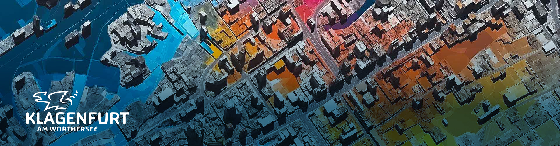
Klagenfurt uses geospatial AI platform to optimise solar energy
Learn how the surveying and geoinformation team uses AI to map properties with different land use categories in the Austrian city of Klagenfurt.

R-evolution targets 30% more electricity efficiency with solar AI
Learn how Hexagon's subsidiary uses its innovative portfolio to design, manufacture, build and optimise a solar farm in Archidona, southwestern Spain.

Why trust Hexagon’s AI?
Our seven principles guide us to build our AI portfolio responsibly, with strong governance.
- Connect people to technology: Keep humans central to decisions and technology.
- AI for real-world outcomes: Build on our legacy of robust artificial intelligence integration.
- Engineer with integrity: Uphold privacy principles and prioritise data protection.
- Communicate transparently: Algorithms and the use of artificial intelligence are explained and informed.
- Embed inclusivity: Continuously promote diversity and prevent discrimination.
- Foster accountability: Reinforce responsible inputs and outputs of artificial intelligence integration.
- Design mindfully: Empower sustainable outcomes through product development.
Discover more with Hexagon
Let's explore how AI could enhance your business