Product groups by the Geosystems division
Explore a comprehensive portfolio of digital solutions that capture, measure, and visualise the physical world to enable data-driven transformation across industry ecosystems.
-
 Portfolio
Measure and verify on all construction projects with software that transfers design data into reality.
-
 Portfolio
Integrated airborne sensors and processing workflows offer complete solutions to address your specific application needs.
-
 Portfolio
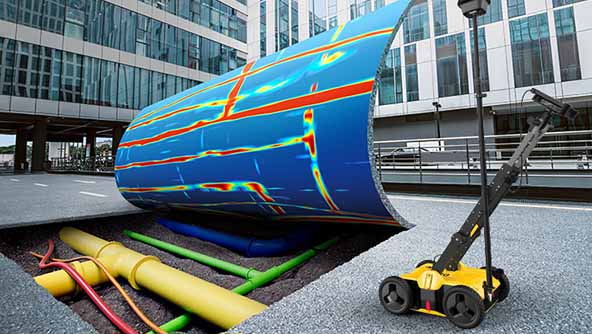
Hardware and software detection solutions to identify, position and document underground utilities for safer excavations.
-
 Portfolio
Hexagon’s cloud-based storage, visualization, and collaboration platform for reality capture and geospatial data.
-
 Portfolio
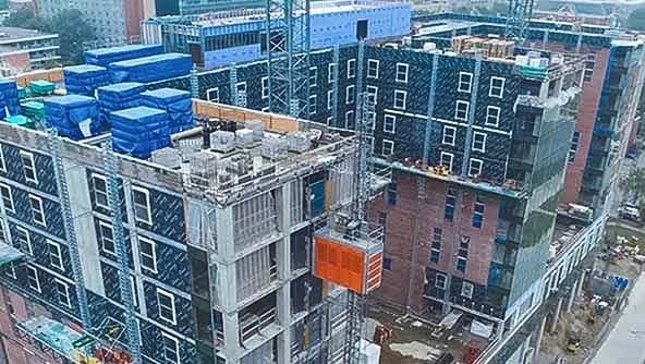
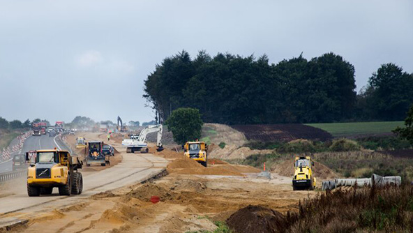
Hexagon solutions help you visualise, document and verify every stage of construction projects.
-
 Portfolio
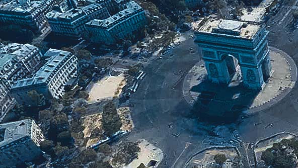
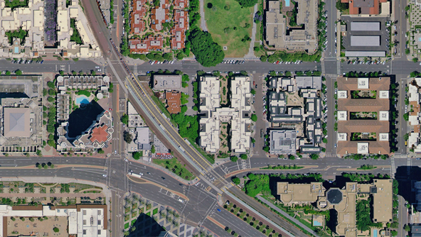
Geospatial data from the largest database of consistent, high-resolution aerial imagery and elevation data.
-
 Portfolio
GNSS systems connect hardware and software to enable positioning tasks with precision and accuracy.
-
 Portfolio
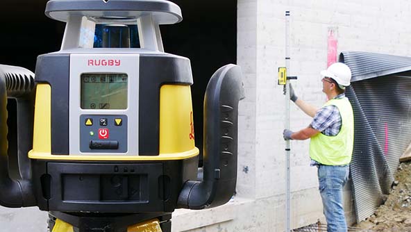
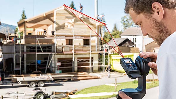
Tools enabling horizontal, vertical and simple slope measurement for construction and indoor applications.
-
 Portfolio
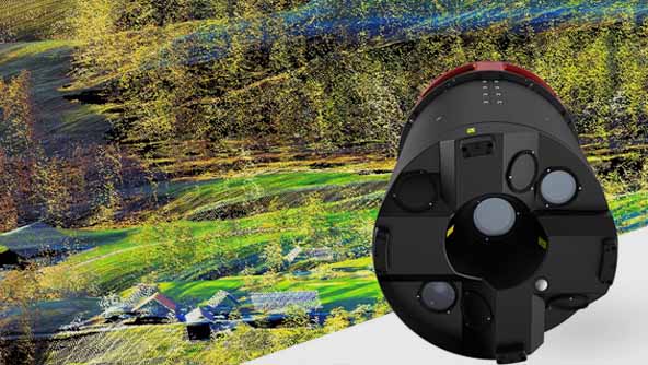
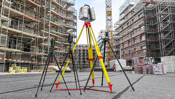
3D laser scanning solutions capture, process, manage and deliver point cloud data, providing a field-to-finished workflow.
-
 Portfolio
Simplified and connected machine control solutions for increasing productivity, efficiency and safety in heavy construction operations.
-
 Category
Mobile mapping systems include sensors and software for the capture, post-processing and storing of gathered data.
-
 Category
Monitoring solutions combine monitoring sensors, GNSS receivers and software to deliver real-time movement insights.
-
 Portfolio
Industry-revolutionising survey software expands capabilities with seamless field and office workflows.
-
 Portfolio
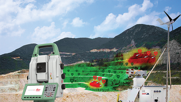
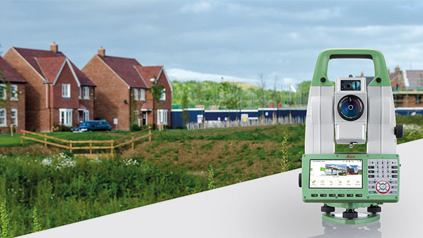
Measurements have never been so easy to perform as with Hexagon's total stations.