One tool for every need: Accelerating abandoned mine monitoring
RAG Aktiengesellschaft teamed with GEOSYSTEMS GmbH and uses Hexagon technology to automate mine monitoring workflows
The challenge
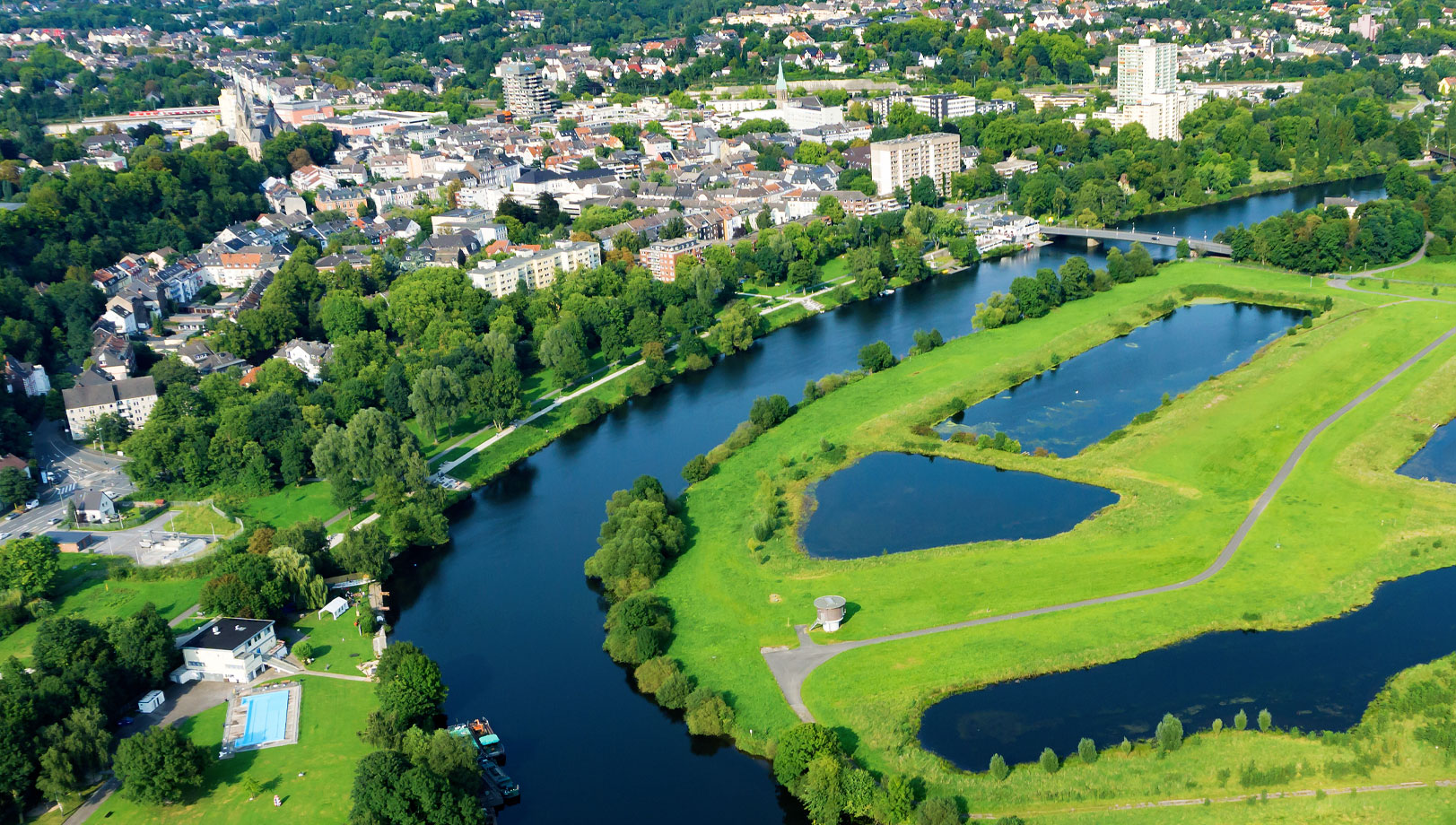
RAG Aktiengesellschaft is Germany’s largest coal mining corporation. When coal mining ended in the Ruhr region in North Rhine-Westphalia, Germany in 2018, RAG devoted itself to making the area more livable. Years of deep coal mining led to sink holes and other environmental hazards. RAG is now responsible for monitoring the former mines and identifying locations of potential damage so preventive measures can be taken before sink holes or subsidence occur.
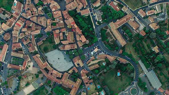
To do this, RAG worked with longtime Hexagon partner GEOSYSTEMS GmbH to implement a solution including remote sensing, aerial photography and photogrammetry components. More recently, it needed a system that would offer a consistent catalog, automated processing of aerial image data and management of photogrammetric products, unified project management for each step and high-performance distribution of results.
The solution
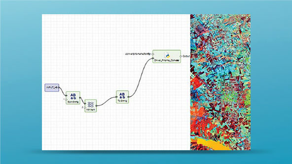
For photogrammetric processing of aerial images and terrain model generation, RAG uses software from Hexagon’s Power Portfolio, including ERDAS IMAGINE and IMAGINE Photogrammetry. With the help of DTMs, even the smallest depressions can be detected and remediated at an early stage. Comparing terrain models from different points in time, ground movement can be calculated to centimeter accuracy.
To accelerate its monitoring activities and for aerial imagery archival purposes, RAG again turned to GEOSYSTEMS GmbH, implementing an organizational system powered by ERDAS APOLLO called the Luftbildarchiv Admin Tool. All processes – from monitoring to processing – can be completed without leaving the Tool. Most importantly, the time to process aerial surveys has been reduced by 50%.
Learn more
Also explore
ERDAS IMAGINE
ERDAS APOLLO