Measurement of the geometric characteristics of ATV spacecraft
SETIS - ATV Project - France
Contact us
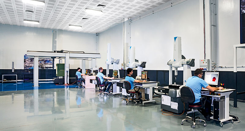
The adventure began in 1951 when Mr Degaud opened a “classical” office of surveying experts in Grenoble. The Olympic Games in 1968 contributed to the company’s rise which became, with 120 people working there, the largest office in the region. Since the 1960s and in the context of the Olympic Games, the company was responsible for measuring stadiums, bobski and toboggan runs or springboards with a tool which was already exceptional and ahead of its time: the Wild theodolite. Always staying faithful to their first theodolite supplier which became Leica Geosystems over time, the company SETIS which belongs to the Degaud group, acquired all the group’s laser tracker generations between 1992 and today: from the SMART 310 to the very latest Leica Absolute Tracker AT401 in addition to the Leica Absolute Tracker AT901 together with the Leica T-Probe and Leica T-Scan.
The activity sectors covered by SETIS are a reflection of a will to diversify whilst at the same time staying close to the basic professions: the nuclear, aerospace, automobile or research and development industries. SETIS has in its portfolio clients as notable as Airbus, DACIA, EDF, CERN or AREVA and is responsible for the follow up of projects as prestigious as LHC, ITER or the ATV project.
The Automated Transfer Vehicle (ATV) is a spatial cargo spacecraft developed by the European Space Agency to resupply the International Space Station (ISS). Capable of automatically docking to the space station, this cargo spacecraft is able to transport approximately 7.7 tonnes of freight. The ATV is 9.79 metres in length and 4.48 metres in diameter and its dry weight is 10.47 tonnes.
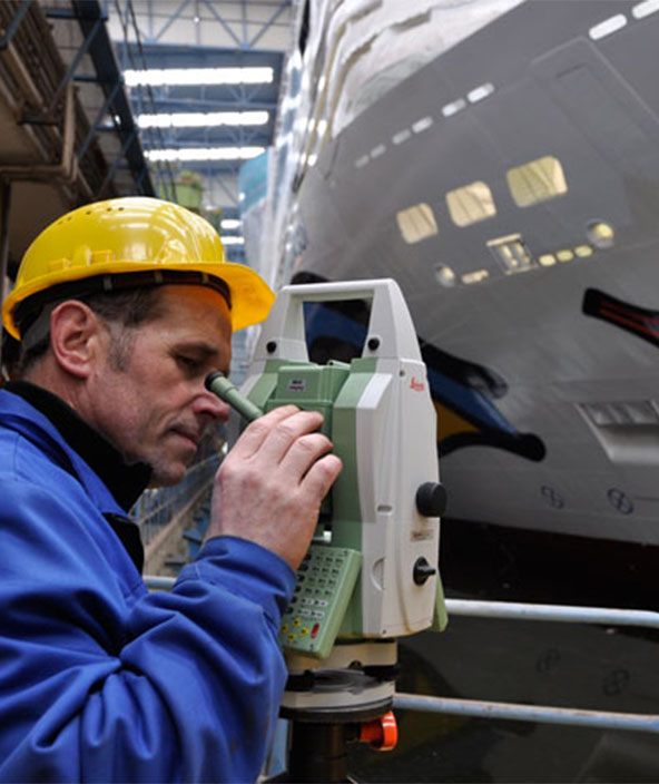
The spacecraft is stabilised by 3 axes. The ATV uses a GPS system to monitor its position. Two stellar sensors are used to detect changes in orientation. The ATV has a battery of equipment installed next to the docking system for automatic station missions. Two telegoniometers undertake continuous measurement of the distance between the station and the spacecraft. Two videometers emit laser pulses to targets installed on the station to determine the distance and orientation of the space station. During the spacecraft’s manufacture phase, SETIS under subcontract by Astrium, was responsible for measuring the geometric characteristics of the components. The project was undertaken in a 600 m long and specially equipped building.
Thus, thanks to the runners, the resupply spacecraft and space station models were developed. The challenge was defining the interface for the orientation of the different planes and the subsequent validation and consolidation of the measurements. These were performed by a Leica Geosystems tracker laser together with special reflectors and tools (hidden point device). The results of the measurements enabled informing the spacecraft’s airborne console about corrections and adjustments during a harmonisation stage.
SETIS manager Laurent Blanc concluded “Leica Geosystems products have once again been proven to be extraordinarily precise, simple to use, portable and stable during this prestigious and difficult project.”