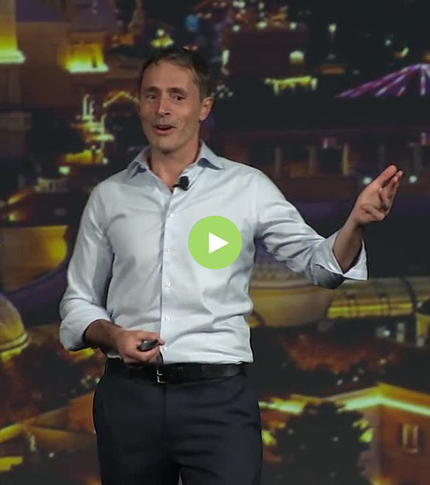
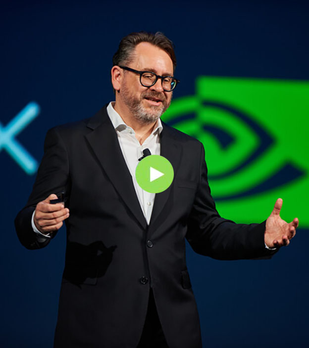
Geospatial Asset Management Summit
Free to transform: Empowering the providers
Join us at HxGN LIVE Global 2023
Summit overview
Building out utility networks, managing transportation and maintaining public services are critical, yet increasingly complex jobs. From the office to the field, companies and departments need accurate and timely information about locations and assets.
The Geospatial Asset Management Summit at HxGN LIVE Global 2023 highlights transformational technologies and geospatial solutions that free customers from inflexible systems and outdated information to ensure safe, resilient and sustainable infrastructure and services.
Providing planning, operations and other teams with enhanced abilities to understand and act on data is Hexagon’s objective for asset-intensive sectors. Bringing together utility, telecommunications, transportation and government professionals, this summit will feature the latest tools, information and trends for effective planning and operations.
What you'll learn
- Discover the latest in geospatial technologies and see exciting announcements on cutting-edge products.
- Accelerate your business prospects by meeting other experts in your industry and field.
- Innovate for the next decade ahead with insights to help you build an autonomous, sustainable future.
-
Who should attend
See who can benefit from attending the Geospatial Asset Management Summit:
Planning and engineering departments
Planning and engineering teams need to leverage an increasingly wide range of data to plan and design complex utility and transportation networks and infrastructure. These professionals will learn more efficient methods for collecting and integrating data and planning and designing assets.
Operations and service departments
Operations teams are responsible for overseeing and maintaining large and often dispersed networks and infrastructure, from power grids to airports and railways. Operations professionals will discover solutions for rapidly connecting to relevant and reliable data and the necessary tools for resolving planned and unplanned work.
Mapping and GIS departments
Mapping and GIS departments collect, manage, analyse and produce large amounts of geospatial data to inform decision-making across the enterprise. GIS professionals will hear about ways to better meet internal customer expectations through more efficient workflows and more powerful integration, visualisation and analysis tools.
Land and environmental departments
Urban planning, land, property and environmental departments rely on data-driven analysis to ensure livable, inclusive and sustainable communities and environmental stewardship. These professionals will discover the latest innovations for detecting and monitoring change and applying these insights to their programmes and projects.