Accelerating student success with advanced geospatial technology in Ukraine
Students at V. N. Karazin Kharkiv National University use Hexagon’s leading geospatial data authoring system in their coursework
The challenge
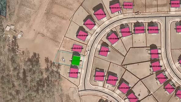
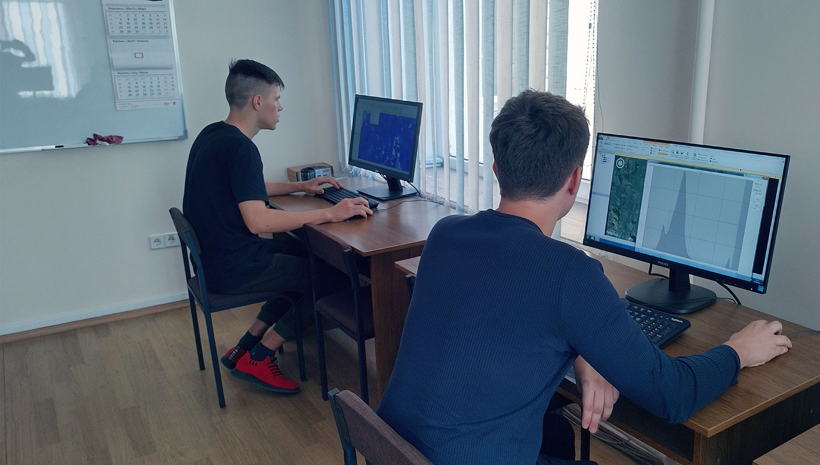
V. N. Karazin Kharkiv National University has over 20,000 students and 115 majors, and its motto “To learn. To teach. To enlighten.” is demonstrated throughout its programs. This motto is especially true for the Department of Physical Geography and Cartography, where students utilize ERDAS IMAGINE, Hexagon’s leading geospatial data authoring system, during their Earth Remote Sensing course.
Prior to the implementation of ERDAS IMAGINE in its coursework, the department used open-source software that inconveniently executed simple operations, and results were unpredictable. When searching for a partner, the university needed a reputable software solution that was modern and functional, as well as a supportive program that offers a beneficial licensing policy for institutions.
The solution
With ERDAS IMAGINE, students no longer navigate overloaded interfaces, which is imperative for geographical and engineering specialties. In addition to this, Hexagon’s Education Program offered the university limited versions of the software, giving students access to the software’s basic tools for visual and automatic image analysis.
Hexagon worked with the university throughout every step of implementation and has continued to support students during the Russia-Ukraine war. Access to the curriculum and ERDAS IMAGINE prevailed even after students were forced to evacuate due to the invasion in Ukraine.
Learn more
Also explore
ERDAS IMAGINE
M.App Enterprise