Explore HxGN Content Program
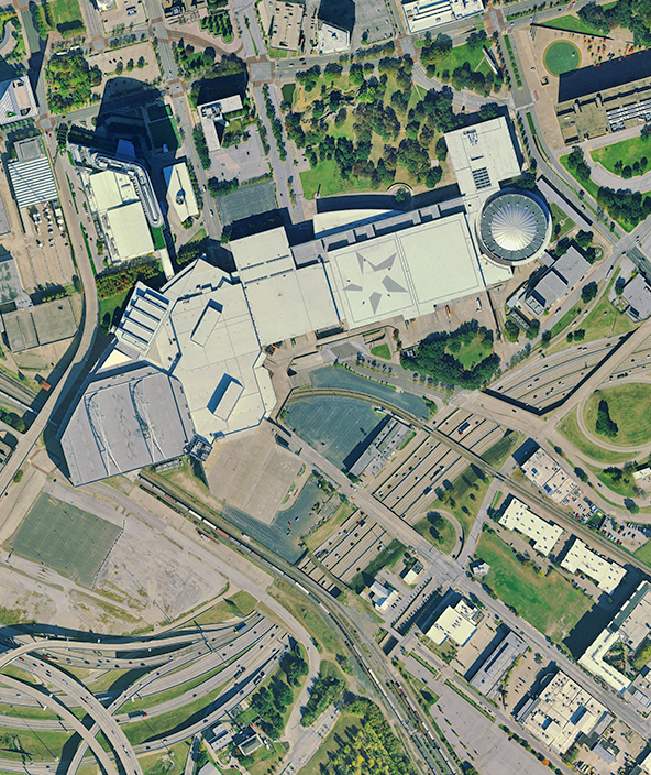
Expansive database of consistent, high-resolution aerial imagery, elevation data, 3D models and analytics.
Reach new levels of insight and information
Leverage the largest library of high-resolution 2D aerial data and 3D digital twins.

Hexagon will update 14 U.S. states for the 2024 collection season
The refresh includes over 3,143,700 square kilometers of high-resolution 4-band orthoimagery, 3D point clouds and stereo imagery.

Puerto Rico relies on Hexagon's aerial imagery for disaster preparation and response
Government agencies and organisations are equipped with the spatial detail needed to prepare and respond to disasters and emergency situations.

Mapping Denmark's development: a multi-decade journey with Hexagon orthoimagery program
Land surveyors rely on Denmark's Digital Orthophoto (DDO) to implement cadastral surveys and land administration projects.

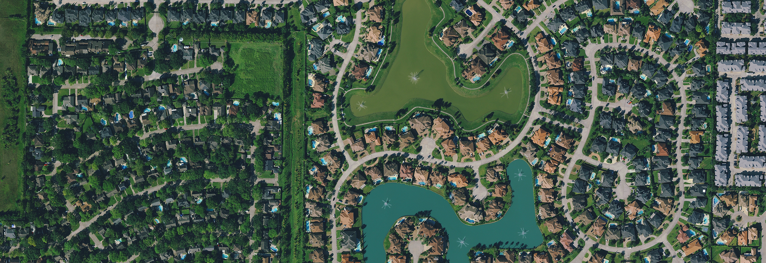
Water sustainability efforts in Southern California aided by Hexagon's aerial data
Rancho California Water District raises its landcover classification accuracy above 96% using aerial imagery and elevation data.


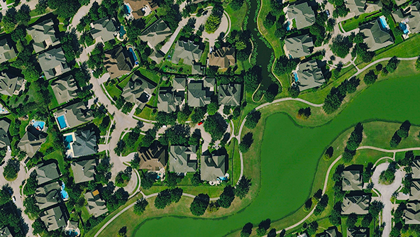
A powerful tool to understand our world
Our aerial data helps address today’s most challenging problems, from public health planning and climate response to asset management and risk mitigation. Combined with artificial intelligence (AI), you can unlock deeper insights via feature extraction, object detection and more.
Our large-area coverage, consistency and flexible use terms make our data ideal for AI and machine learning projects.
Building aerial data solutions from the ground up
Hexagon designs and integrates airborne sensors, schedules and flies missions, as well as processes the data using optimised software to the highest levels of photogrammetric and radiometric quality. We control the entire workflow to ensure excellence at every stage.

Consistent, reliable data capture

High quality and attention to detail

Comprehensive aerial data solutions
Multiple delivery and consumption models
Explore our high-quality aerial data products
We offer a full stack of aerial data products to support your project. Select from our standardised data products or contact us to discuss custom solutions that may suit your unique needs.
-
 Product
Transform your geospatial project with high-resolution aerial imagery that enables you to make better-informed decisions.
-
×Partial autonomyExtensive coverage and consistency makes it ideal for deriving analytics and extracting features using AI and ML algorithms.
-
 Product
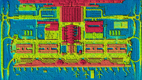
Measure and analyse the earth's surface and above-ground features with high-accuracy elevation data.
-
×Partial autonomyElevation data is key to simulations, interpreting the environment and extracting height maps.
-
-
 Product
Unlock deeper insights using ultra-high-definition 3D digital twins of your urban environment.
-
×Partial autonomyIdeal for creating simulations and deriving analytics of dense urban environments via AI and ML algorithms.
-
-
 Product
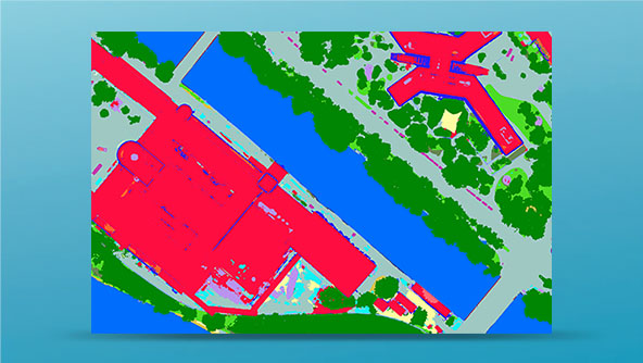
Monitor the changing landscape with maps that offer more information and context about your area of interest.
-
×Partial autonomyDetailed AI-based vector maps offer context to analyse and monitor the urban landscapes.
-