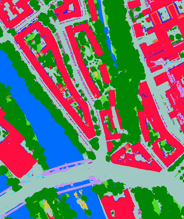
Analytics
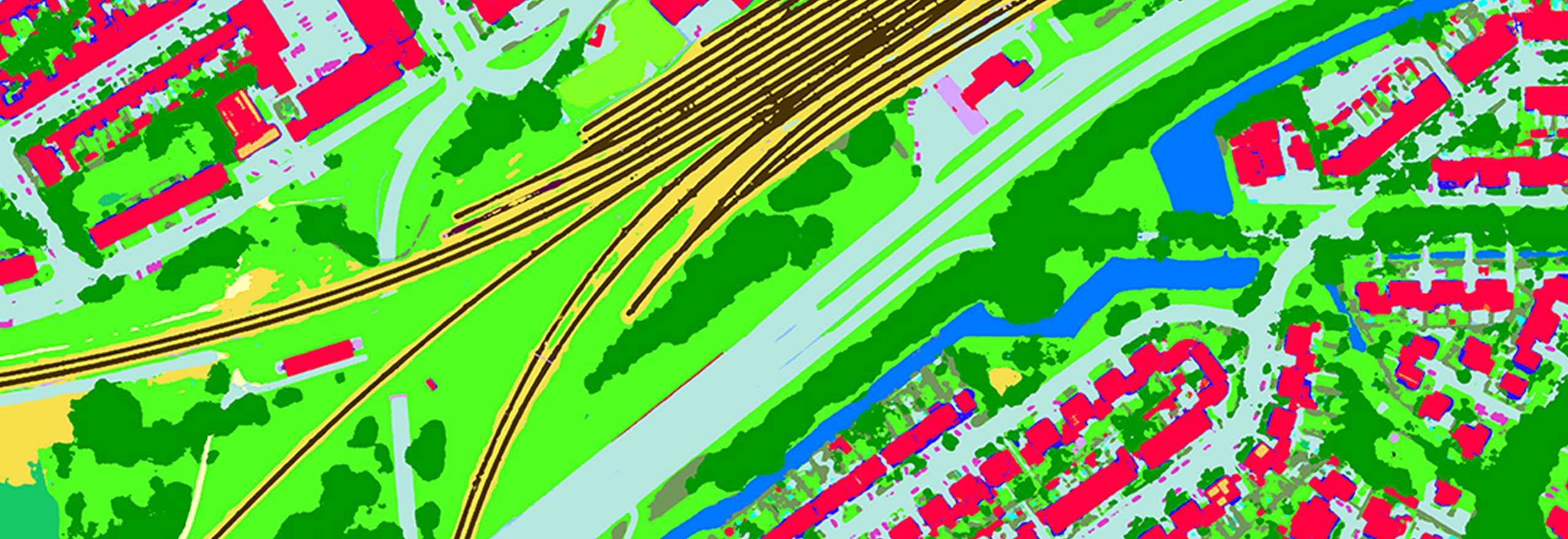
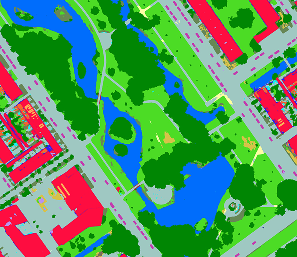
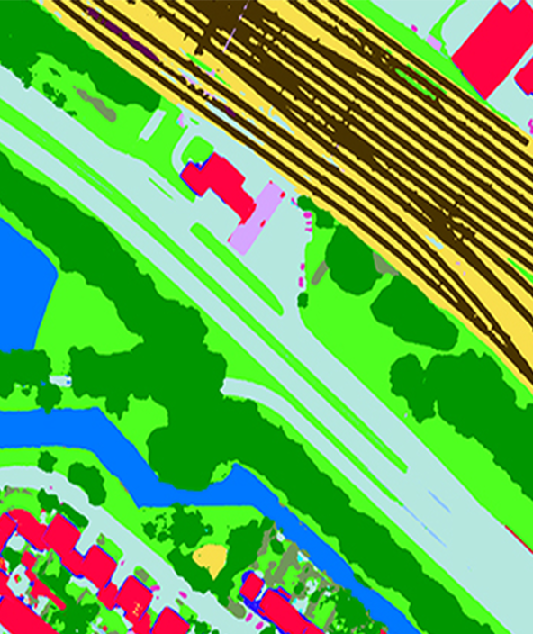
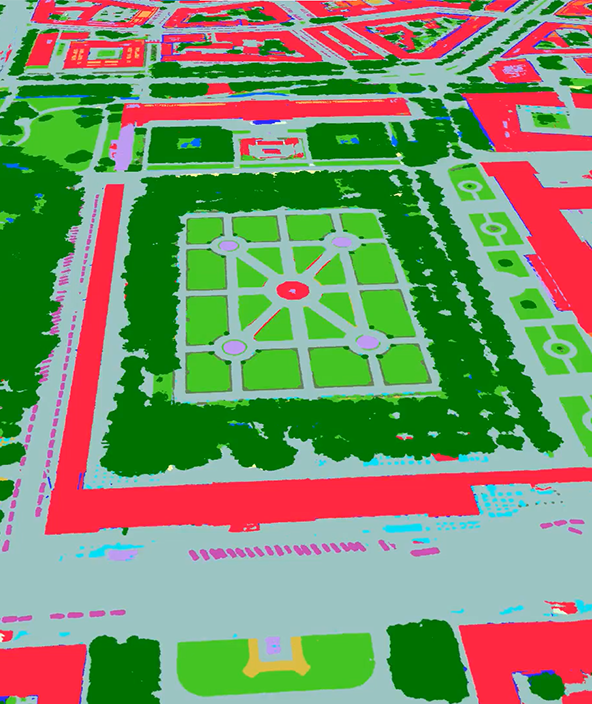
AI-based analytics for urban ecosystems
In an age of rapid urbanisation, analytics give you timely, actionable insights into your city.
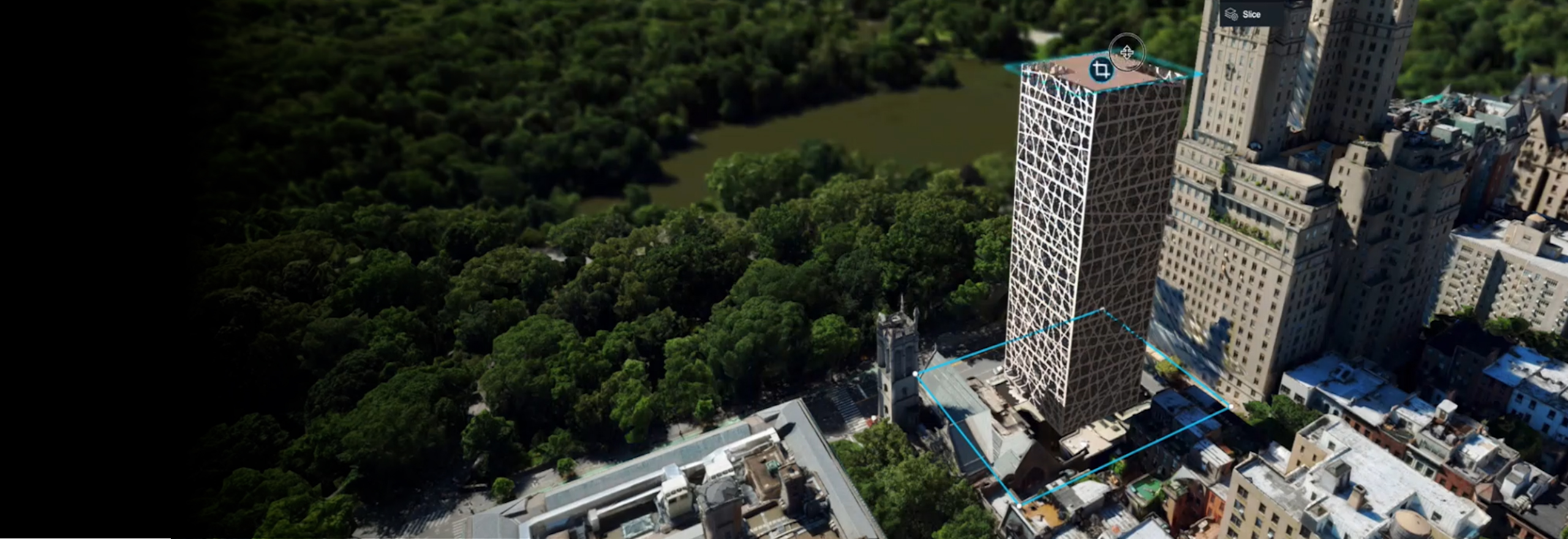
Geospatial digital twins can make us all smarter
Digital twins provide us with insights into the reality of present conditions and the impacts of future scenarios.
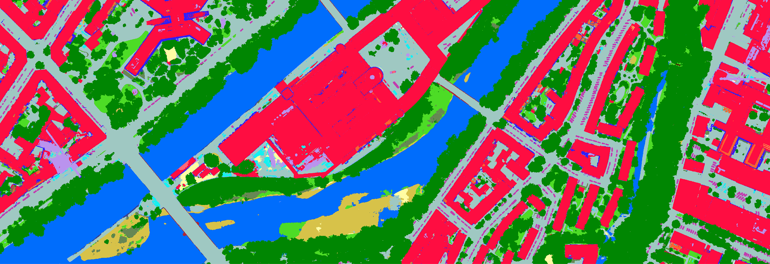
Metro HD offers full stack of city data
Capture your city in ultra-HD through the HxGN Content Program’s Metro HD city program.
- GET IN TOUCH
-
Contact us to gather analytics of your urban landscape.
Connect with
HxGN Content Program
.png?h=704&iar=0&w=592&hash=CD0B6B5A0C338D94A9BABBF4471B6260)