LuciadLightspeed
Delivers advanced geospatial analytics desktop and onboard applications.

LuciadLightspeed: advanced geospatial desktop applications
See how LuciadLightspeed allows users to rapidly develop high performance C2 and location intelligence applications.
LuciadLightspeed: advanced geospatial desktop applications
See how LuciadLightspeed allows users to rapidly develop high performance C2 and location intelligence applications.
Request pricing
LuciadLightspeed overview
Major international companies and organizations, systems integrators, and original equipment manufacturers use LuciadLightspeed to rapidly develop geospatial situational awareness applications for mission- and business-critical operations. With its modular, open architecture and meticulous adherence to industry standards, LuciadLightspeed is the preferred technology for enterprise-wide geospatial situational awareness.
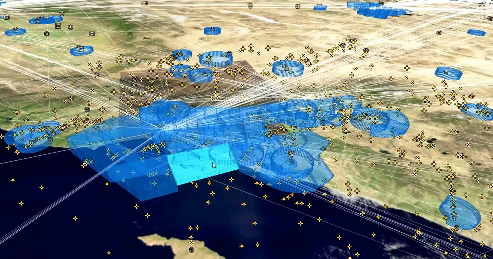
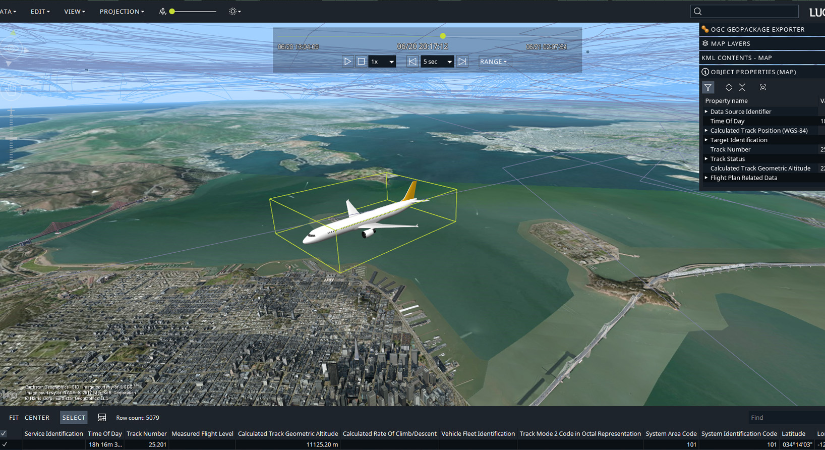
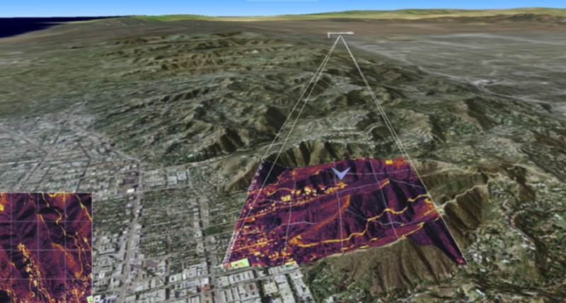
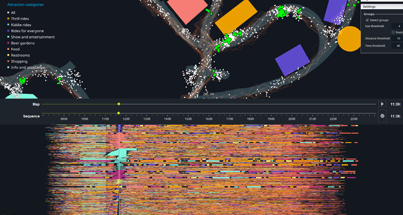
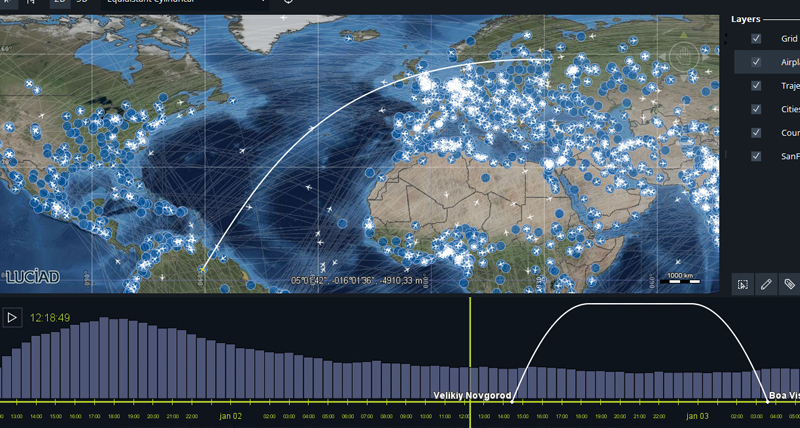
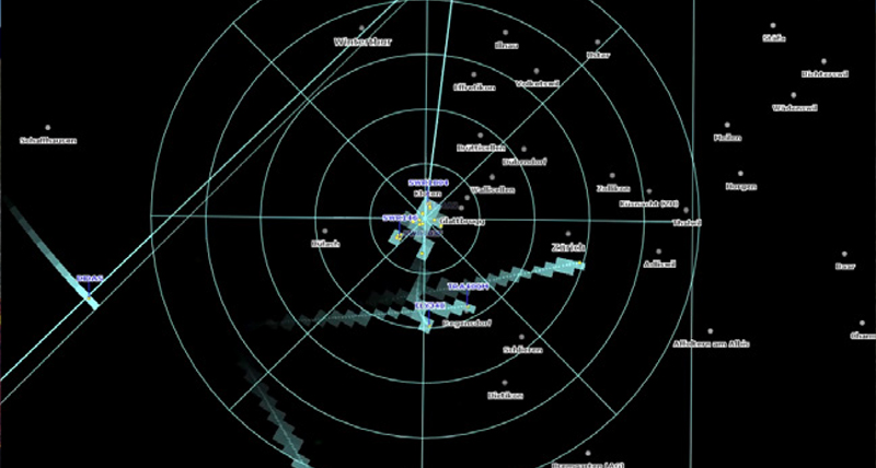
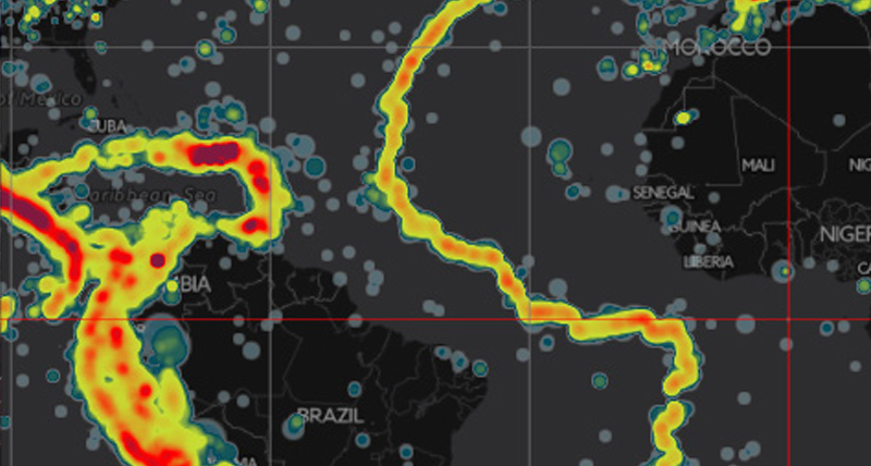
LuciadLightspeed's many software components and connectors allow users to fuse, visualize, and analyze geospatial data. This includes static and moving data, maps, satellite imagery, crowd-sourced data, full motion video, weather data, and terrain elevation in many different geodetic references and map projections. Geo-fencing, line-of-sight calculations, geo-triggered events, dynamic and complex route calculations, and automated anomaly detection are just a mouse click away. Benchmark tests by academia and industry have found LuciadLightspeed to be more than 100 times faster and more accurate than traditional GIS software.
Why you should choose LuciadLightspeed:
- Provide control room staff with a common operational picture (COP)
- Keep users informed via shared tactical plans
- Analyze complex airspaces delivered as AIXM data using 3D visualization
- Create a certified recognized air picture
- Explore data in 4D, represented geographically as time series as well as plot views
LuciadLightspeed capabilities
Accurate, high-performance results
Visual analytics for intuitive answers
Accelerated application design with Lucy
Handle and view data intelligently
The features you want, in your format

Luciad Developer Platform
-
Brochures
-
Case studies
-
Videos
-
Technical documents
-
Training and tutorials
-
Blogs
-
Free trials