Differentiate your radar and sonar systems
The archetypical blip on the screen of a radar swipe. Most of us recognise the green spots tracking at a snail’s pace on a dark screen, the way that radar tracks have typically been visualised for decades. Radar and sonar manufacturers and systems integrators face a great challenge: how to improve the visualisation of those green blips to bring more accurate, up-to-date information to the analyst who is interpreting the information, while also meeting other equally important requirements of the user agencies.
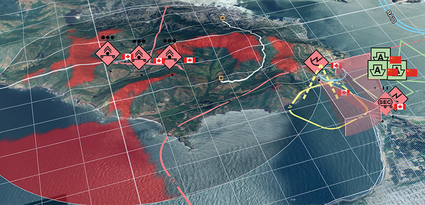
But we have come a long way from the blip in the map. Now you can combine the real-time performance of the blip on the screen with comprehensive data, a better user experience and more capabilities. It is no longer a dot in a map, but a plane or a ship moving across your screen with details about the terrain, position and situation.
Learn how you can bring radar and sonar blips to life, providing a variety of dynamic information to all users, from operators to high-level decision-makers.
Download the White Paper to find out more.

