HxGN SmartNet Solutions and Use Cases
Explore how SmartNet enables a wide range of applications and solutions with the world’s largest reference station network.
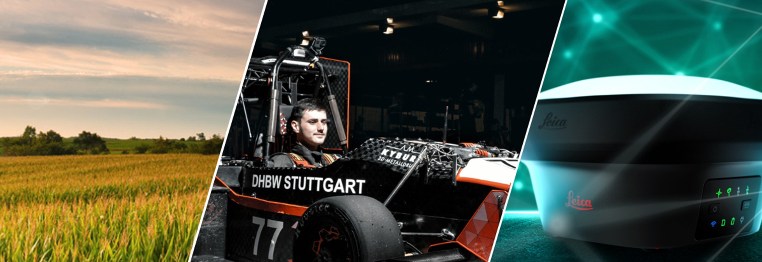
Enabled by Accuracy: 5 Projects Made Possible by HxGN SmartNet
Learn how HxGN SmartNet provided the high-accuracy positioning that empowered remarkable projects across industries.
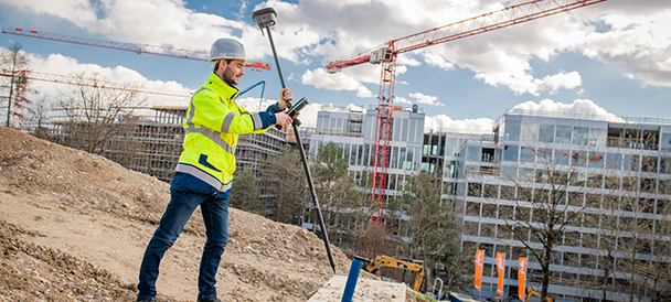
Increased accuracy for surveyors
HxGN SmartNet's precision and reliability enables increased productivity for surveyors. SmartNet can be used in a variety of land surveying applications that require centimetre-level accuracy, such as building and topographic survey, monitoring and cadastral applications. Access to SmartNet removes limitations and reduces your capital investment – simply set up your GNSS rover and go.

Positioning accuracy for efficiency
In combination with Leica Geosystems iCON portfolio of machine control solutions, HxGN SmartNet’s reliable and available RTK corrections enable guidance and control of your earthmoving equipment for precise digging, grading and paving. With SmartNet, the work of machine operators is more efficient and manageable, reducing operator requirements and increasing billing accuracy.
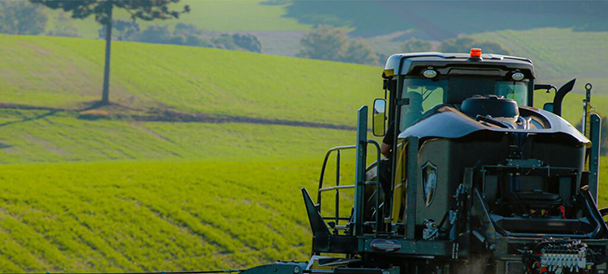
Apply precision farming techniques
Farmers work long hours performing gruelling tasks. That work becomes more precise and less tiring with HxGN SmartNet guidance. SmartNet makes precision agriculture accessible, optimises performance and lowers production costs. With sensors installed on agriculture machines, GNSS technology provides precise positioning at every moment for reduced crop strikes and higher productivity.
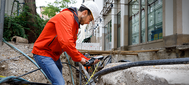
High-precision data collection
GNSS is changing the way we collect and manage geographic data. HxGN SmartNet is the ideal partner for high-precision projects, such as utility mapping, asset management, GIS data collection and other applications requiring centimetre-level accuracy. With access to GNSS corrections from the SmartNet Continuously Operating Reference Stations (CORS) Network, simply set up your GNSS rover and go.

Lane location for driverless vehicles
From driverless race cars to public transit, autonomous vehicles depend on high-precision GNSS to know where to go and keep the roads safe. HxGN SmartNet delivers centimetre-level accuracy to keep them driving. As the automotive industry continues to digitalise, SmartNet enables your business to connect with new and exciting opportunities.

Digitising construction
HxGN SmartNet benefits all GNSS related construction applications requiring precise machine operations and repeat centimetre accuracy, including high-profile projects, such as highway construction, airport runways, sports stadiums and more. Remove base stations and other limitations and replace them with SmartNet’s reliable accuracy for more efficient digital workflows.
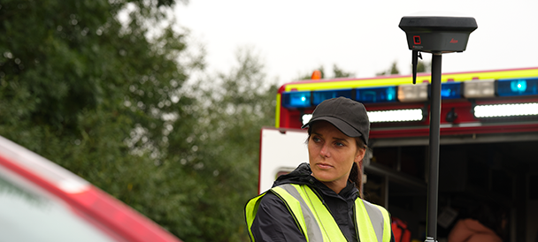
Forensic investigations
GNSS devices, like the Leica GS18 I, are transforming the way investigators collect and process data at crime, crash and fire scenes. HxGN SmartNet connects these devices to the centimetre-level location accuracy required to support forensic work.

Enrich your service portfolio
HxGN SmartNet brings value added services to your telecommunications customers. Leverage the precision of GNSS to open more opportunities for your business while your customers receive more and better service. Connect to high precision GNSS corrections and go beyond geolocation services.

Accurately locate your freight
Accurately track where your assets are when every second counts. Boost your tracking software with the next dimension of asset location precision and locate your freight container in a loading bay or terminal. Simply link your GNSS-enabled assets into HxGN SmartNet’s cloud-based correction service to track your shipments within sub-lane accuracy.

Snow measurement and management
Winter sport resorts depend on effective tools for snow, slope and infrastructure management to make the most of valuable snow resources. Leica iCON alpine solution, empowered by HxGN SmartNet’s accurate positioning, allows users to measure snow depth down to the centimetre, evenly distribute snow and optimally position groomers in relationship to terrain models.
Contact & Support
Are you new to HxGN SmartNet and ready to learn more? Contact us.
If you need help with your existing SmartNet subscription, request support.