GeoMedia 3D
Interact with 3D data natively in GeoMedia
The world's not flat. Why view it that way?
GeoMedia 3D adds another dimension of analysis and viewing to the GeoMedia environment.
The world's not flat. Why view it that way?
GeoMedia 3D adds another dimension of analysis and viewing to the GeoMedia environment.
Request pricing
GeoMedia 3D overview
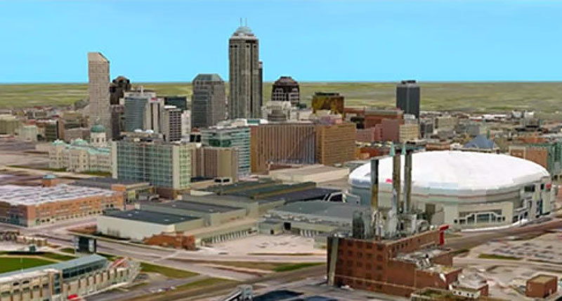
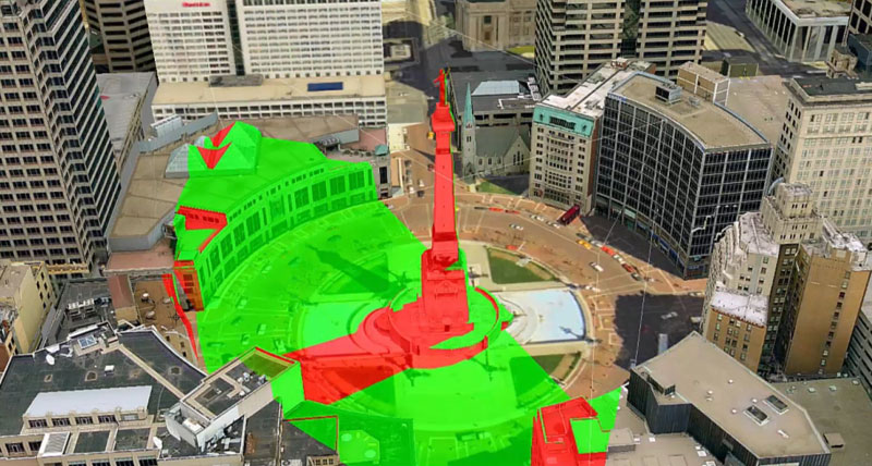
Organizations that process elevation data achieve maximum benefit through seamless visualization of 3D surfaces. The ability to understand the surroundings and visualize the terrain assists in making better environment-based decisions and performing more effective real-world assessments.
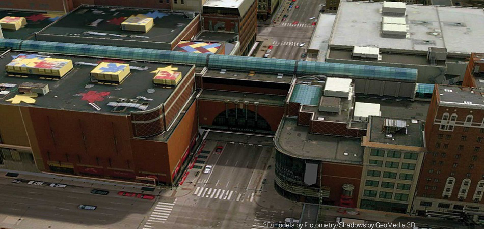
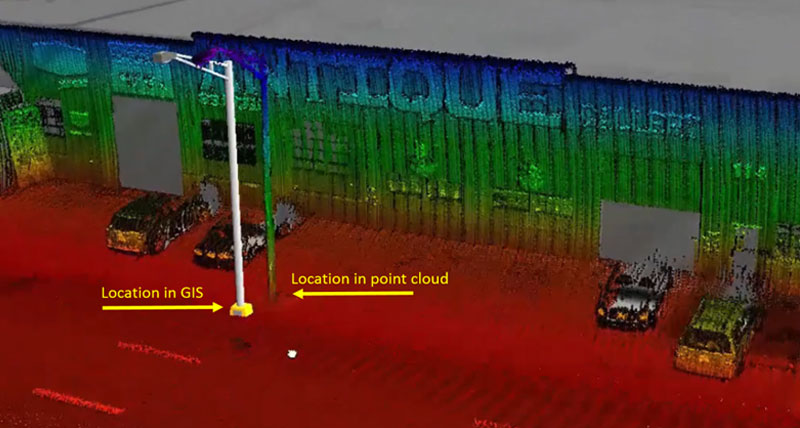
GeoMedia 3D is an extension to GeoMedia that enables a wide range of 3D capabilities for defense, intelligence, government, transportation, utilities, communications, public safety and security applications. GeoMedia 3D extends the functionality of Hexagon’s geospatial solutions through an integrated 3D visualization and analysis environment to visualize, navigate, analyze and interact with 3D data natively in GeoMedia.
GeoMedia 3D capabilities
Integrated 3D environment
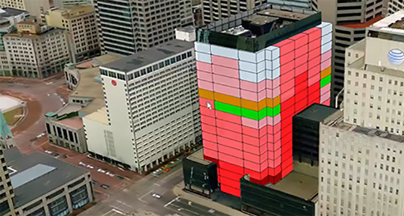
Enhanced decision support
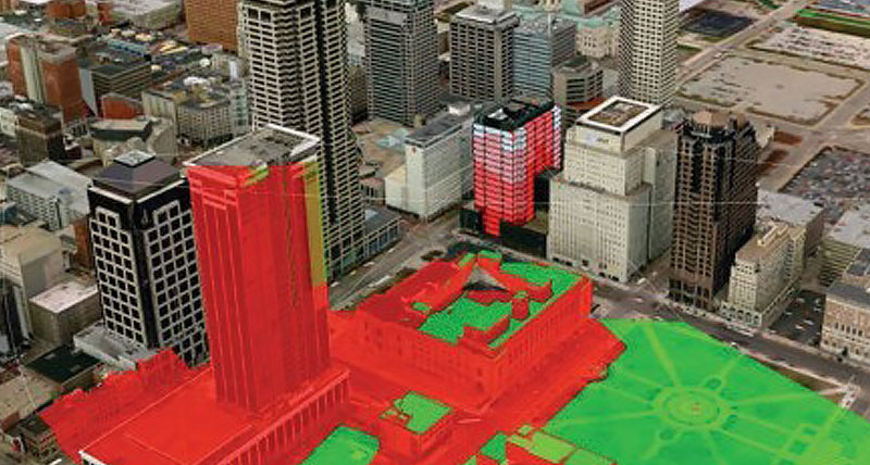
Urban modeling
Asset management
Community impact projects

Support portal
-
Brochures
-
Videos
-
White papers
-
Tutorials
-
Technical documents
-
Blog posts