ERDAS Extensions for ArcGIS
Unlock the power of remote sensing and stereo photogrammetry.
Generate feature layers based on imagery
Add ERDAS Extensions for ArcGIS to the software you already use, and save time and money.
Request Pricing
I am interested in finding out more about pricing.
Overview
ERDAS Extensions for ArcGIS® are simple, affordable products to generate feature layers based on imagery. Instead of outsourcing the work or struggling with a large application that includes functionality you don’t need, you can simply add ERDAS Extensions for ArcGIS to the software you already use. You can save money by completing the work yourself, and because it works inside the ArcGIS interface you already know, it doesn’t require a lot of training or ramp-up time.
Capabilities
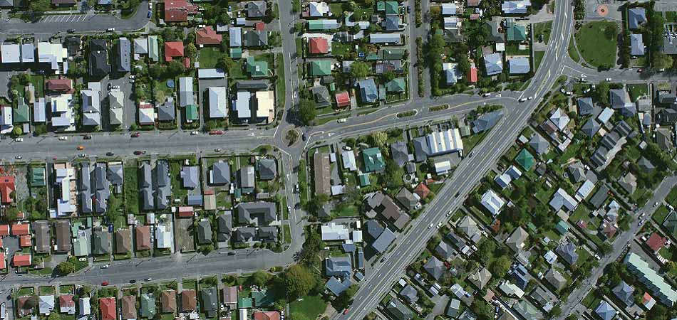
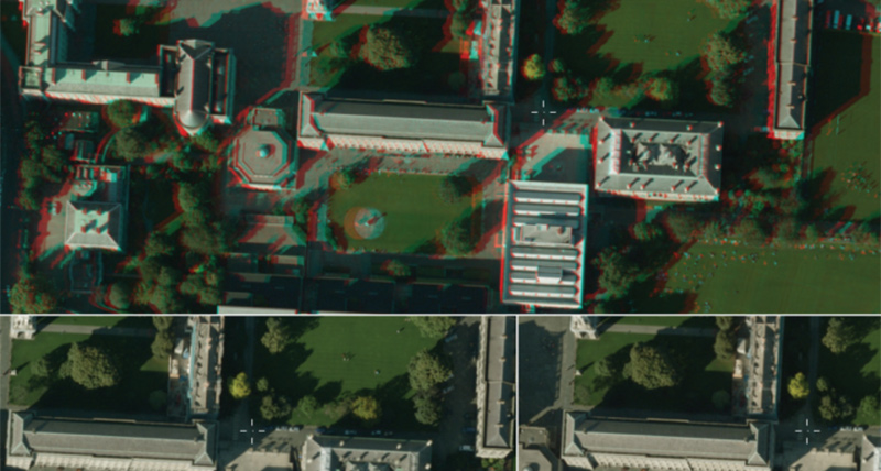
Bring stereo into your ArcGIS experience
Stereo Analyst® for ArcGIS lets you distinguish features in your imagery faster and more easily, and increases the accuracy of the features that you collect.
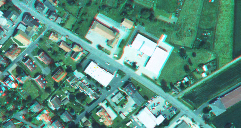
Edit terrain directly inside of your GIS
ERDAS Terrain Editor for ArcGIS allows you to edit your terrain files using the stereo viewing environment, while updating your Geodatabase Terrain datasets.
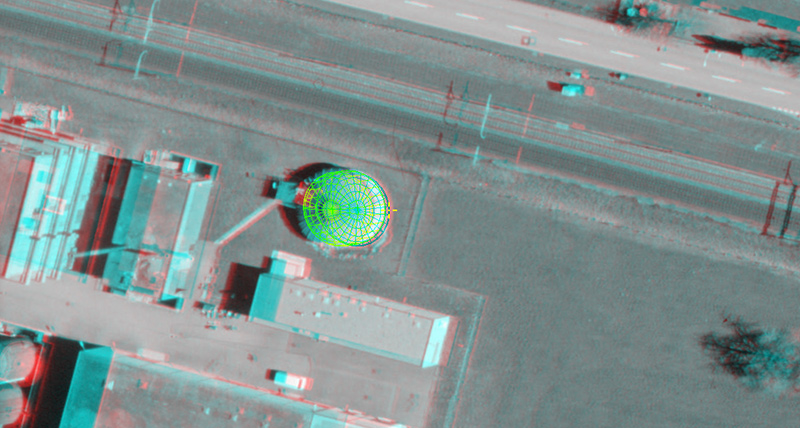
Collect your rooftops with ease
Using the canned templates in the Feature Assist for ArcGIS tool, you can collect any complex rooftop in seconds.
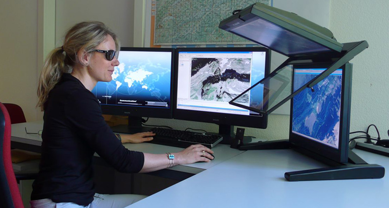
Bringing new dimension and accuracy to Swiss Mapping
Discover how Switzerland's national mapping agency benefits from Hexagon’s ERDAS Extensions for ArcGIS.
What's in ERDAS Extensions for ArcGIS?
Support your stereo photogrammetric workflows in the tools you are already using.

Support portal
Visit our online home for customer support, software licensing, product tutorials, user community engagement and more.
-
Brochures
-
Technical documentation
-
Case studies