IMAGINE Expansion Pack
IMAGINE Expansion Pack is offered within the Power Portfolio.
Geospatial tools
IMAGINE Expansion Pack extends Advantage or Professional levels of ERDAS IMAGINE with AutoSync, DeltaCue, NITF Support, StereoSAR DEM, VirtualGIS, OrthoRadar and Stereo Analyst for IMAGINE.
Request pricing
Find out more about our product pricing.

Streamlined offering
One license unlocks a host of advanced tools from several former add-ons.

Greater benefit
Support for 3D, NITF, DEM, stereo and registration, all in one exceptional, value-added package.

Utmost flexibility
Multiple ERDAS IMAGINE users can share the power of one Expansion Pack license.

One tool for every need: Accelerating abandoned mine monitoring
Tool powered by technology from Hexagon’s Power Portfolio facilitates the quick identification of locations of potential environment damage.

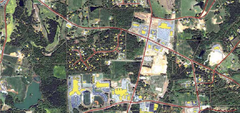
Automating change detection to monitor city growth
By automating the identification of constructional changes in cadastral data, a student is helping city officials to record spatial growth.
Supporting 3D, NITF, DEM, stereo and registration, all in one package
Expansion Pack includes AutoSync, DeltaCue, NITF Support, StereoSAR DEM, VirtualGIS, OrthoRadar and Stereo Analyst for IMAGINE.

Support portal
Visit our online home for customer support, software licensing, product tutorials, user community engagement and more.