IMAGINE Photogrammetry
A Complete Suite of Photogrammetry Software Tools

Consolidate your projects into a single, manageable workflow
A fully functional photogrammetry system packaged in a user-friendly environment, IMAGINE Photogrammetry provides results for everyone, from novices through advanced users.
Consolidate your projects into a single, manageable workflow
A fully functional photogrammetry system packaged in a user-friendly environment, IMAGINE Photogrammetry provides results for everyone, from novices through advanced users.
Request pricing
IMAGINE Photogrammetry overview
How do you consolidate multiple photogrammetry projects into a single, fast, manageable workflow? Is it possible to reach new levels of production throughput without compromising the detail and accuracy your customers expect or the functionality you have grown accustomed to? How do you handle photogrammetric projects with a variety of different data types and formats?
Today, photogrammetry and production mapping experts are under pressure to produce more in less time, while maintaining a rigorous degree of accuracy. Hexagon’s Safety, Infrastructure & Geospatial division understands this challenge and builds the tools to help you accomplish your goals on time, in scope, and to the preferred accuracy.
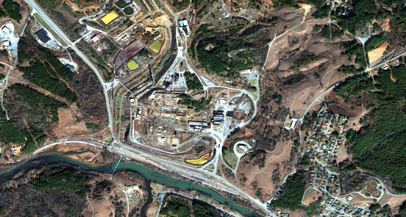
IMAGINE Photogrammetry, a seamlessly integrated collection of software tools, enables you to transform raw imagery into reliable data layers required for all digital mapping, raster processing, GIS raster analysis, and 3D visualization needs.
IMAGINE Photogrammetry capabilities
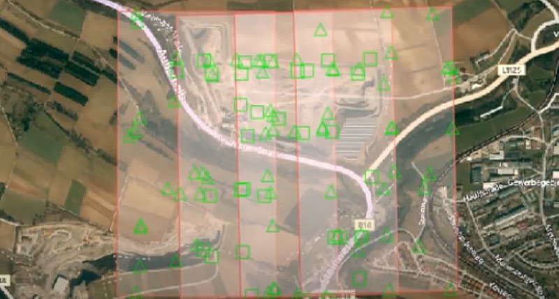
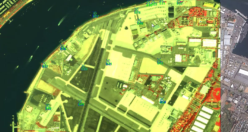
Produce accurate data using triangulation
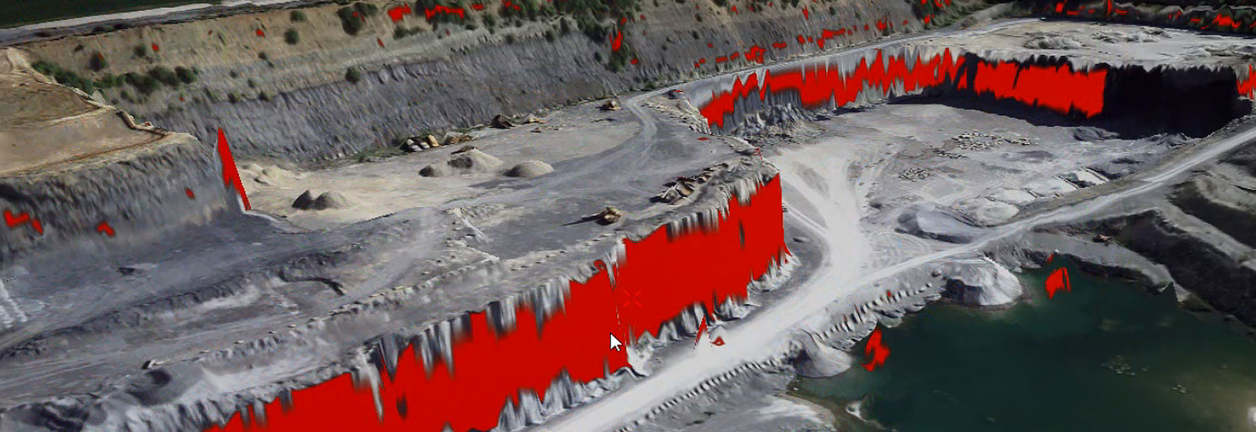
Extract 3D point clouds with semi-global matching
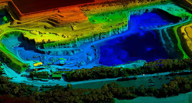
Produce orthomosaics for seamless map displays
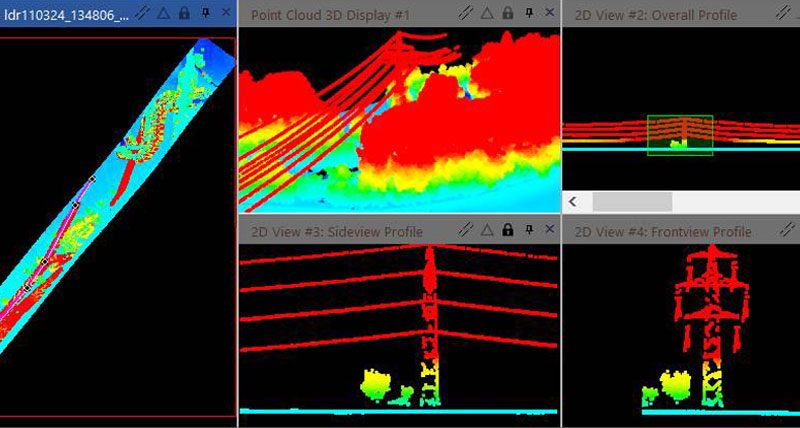
Harness point cloud data
Save processing time

Support portal
-
Brochures
-
Case studies
-
Videos
-
White papers
-
Technical documents