Government, transportation and defence solutions
Whether helping officials conduct a census, collaborating with transportation authorities to improve safety or supporting national defence operations, our solutions leverage static, dynamic and real-time information to solve critical, real-world challenges.

HxGN Mass Transit
HxGN Mass Transit combines asset information with geospatial and AI capabilities to better manage transit and rail networks.
Ready to get started?
-
 Solution
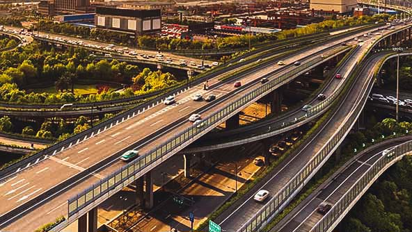
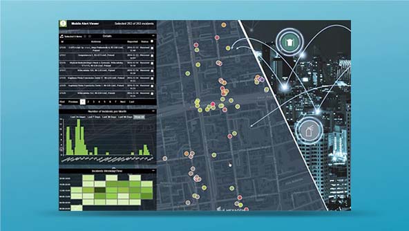
A dynamic solution for visualising and managing assets with an actionable digital twin of public transit networks
-
×Partial autonomyIncludes algorithms for predictive maintenance. Notifications can be sent out automatically.
-
 Solution
An end-to-end solution that enables data-driven decision-making to target, rank and report on safety improvements
-
×Human-Assisted autonomyAutomated process to import crash data directly from the Department of Public Safety. Automated Crash Record Cleansing
-
-
 Solution
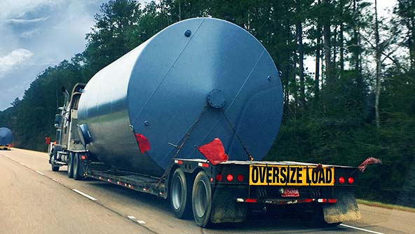
A fast and accurate system for oversize/overweight vehicle permitting, routing and restriction management
-
×Human-Assisted autonomyAutomatically issues defined permits, automatically calculates the safest route for a load
-
-
 Solution
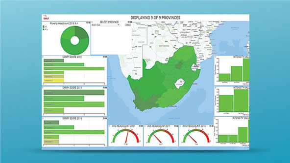
A complete census solution featuring powerful GIS, workflow and workforce management capabilities
-
×Partial autonomyEnumeration results are automatically added to the database. Notifications can be sent out automatically.
-
-
 Solution
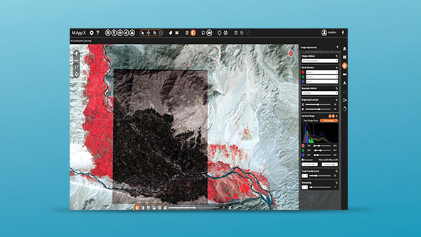
A cloud-deployable enterprise system for the creation, common use and secure sharing of imagery intelligence
-
×Human-Assisted autonomyIncludes AI algorithms for change detection.
-
-
 Solution
A cloud-based service that provides governments and utilities with crowdsourced location-based information from the public
-
×Human-Assisted autonomyAutomatic notifications can be set up.
-
 Platform
A platform for collecting and using tactical high-resolution imagery from sUAS and sensors for situational awareness
-
 Platform
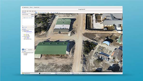
An enhanced and secure version of Google Earth Enterprise for the management of geospatial data