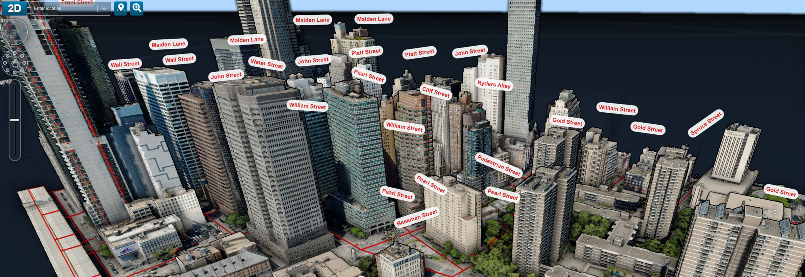
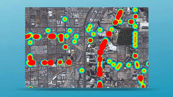
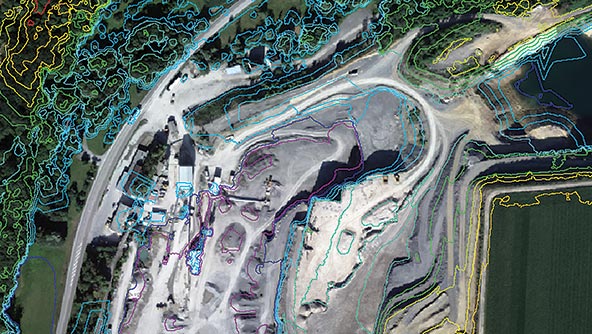
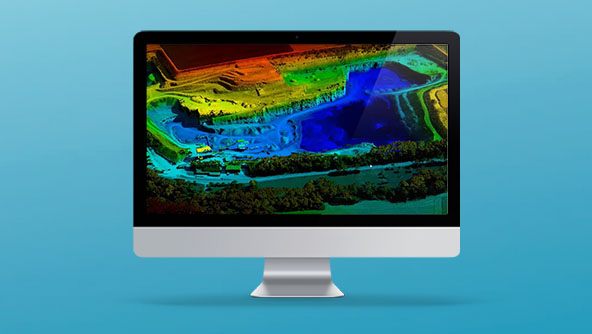
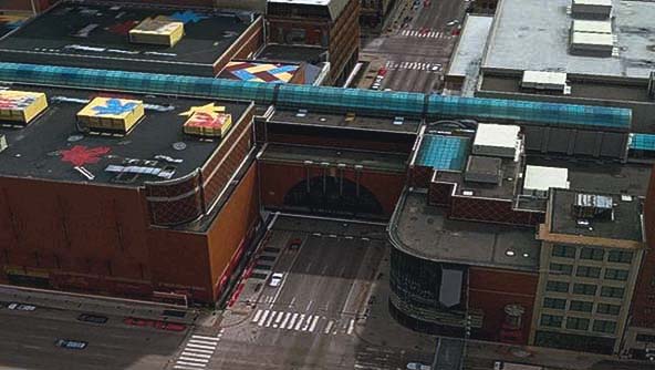
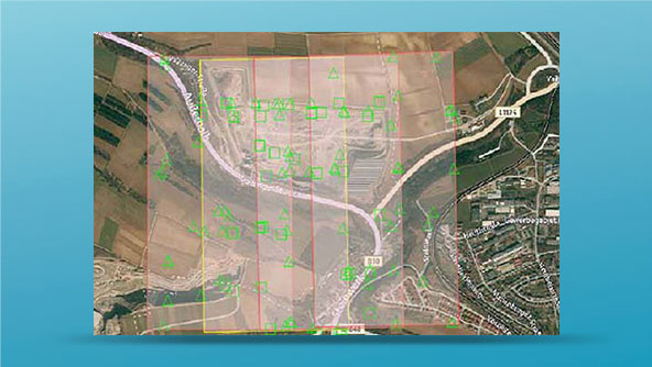
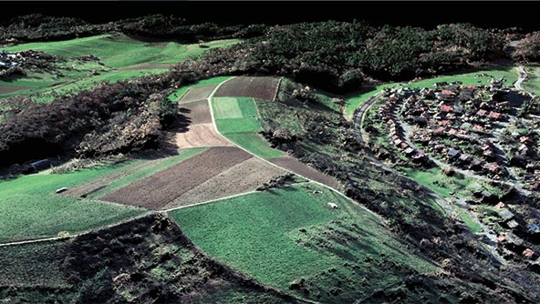
GIS, imagery analysis and data management
Our industry-leading GIS, remote sensing, photogrammetry and data management software products are used across the world to collect, process, manage and deliver location intelligence to a variety of users.
Power Portfolio 2023
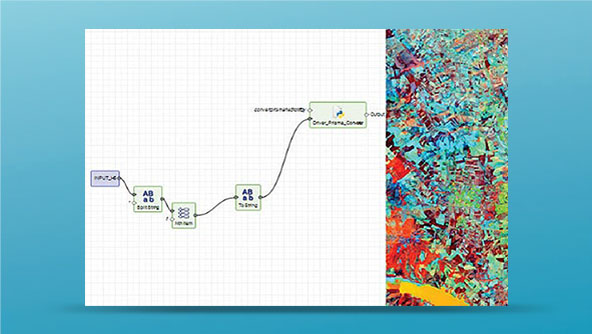
Discover the rebuilt ERDAS APOLLO, the new ERDAS IMAGINE LiveLink for Google Earth Engine, 3D in GeoMedia and much more.
Ready to get started?
-
 Product
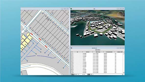
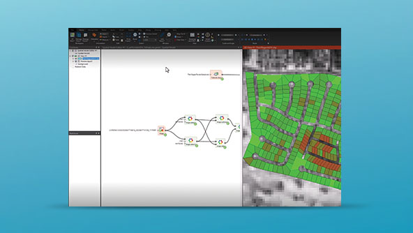
A powerful and flexible GIS management platform that enables data aggregation and analysis from multiple sources
-
×Human-Assisted autonomyAutomatically update analysis results whenever an input parameter updates.
-
 Product
High-volume photogrammetry and production-mapping software with powerful automation for entire production workflows
-
×Human-Assisted autonomyAutomatic triangulation, stereo feature and DTM collection and editing, DTM and DSM generation and orthomosaic production.
-
 Product
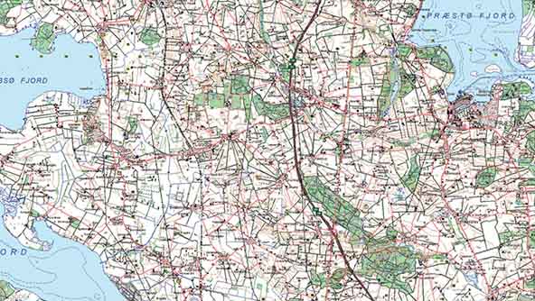
A flexible, integrated enterprise system that securely stores, manages and shares geospatial data, imagery and more
-
×Human-Assisted autonomyAutomatically discover and catalog your data with ERDAS APOLLO.
-
 Product
Industry-leading remote sensing software that provides complete tools for imagery and geospatial analysis
-
×Human-Assisted autonomyIncludes AI algorithms for automatic change detection, feature extraction, classification and more.
-
 Product
Web-based, fully scalable and customizable GIS solutions for real-time enterprise data access and analysis
-
×Human-Assisted autonomyWhen deployed with the Workflow Manager, GeoMedia WebMap can automate and organize business workflows.
-
 Product
Software for compressing massive imagery or point clouds into much smaller files that are visually lossless
-
 Product
Exceptional compression technology, capable of vastly reducing terabyte-sized files, while retaining full image quality
-
 Product
An easy-to-use toolkit for stereo viewing and terrain editing in a MicroStation environment, optimizing production-mapping
-
 Product
A toolkit that expands desktop GIS capabilities by opening geospatial assets to other applications and audiences
-
×Human-Assisted autonomyAutomates business workflows.
-
 Product
Tools to enhance core GIS, remote sensing and photogrammetry software and capabilities
-
 Add-on Module
Sophisticated add-ons that provide enhanced imagery analysis features and spatial modeling capabilities for ERDAS IMAGINE
-
 Add-on Module
An integrated 3D visualization and analysis add-on supporting realistic, 3D views of data in GeoMedia
-
 Add-on Module
Complementary add-ons for GeoMedia that provide enhanced GIS, mapping and location intelligence capabilities
-
 Add-on Module
An enhanced cartography add-on for producing, automating and revising high-quality maps in GeoMedia
-
×Human-Assisted autonomyEnhanced toolset for producing high-quality cartographic maps with streamlined production and automated map generation.
-
-
 Add-on Module
An add-on that enables precision analysis of motion video taken from moving vehicles in a high-productivity environment
-
 Add-on Module
An add-on to efficiently analyze and maintain linear road networks and infrastructure in GeoMedia
-
×Human-Assisted autonomyAutomatically review networks and correct errors that may cause problems in the future.
-
 Add-on Module
A complimentary application for displaying, analyzing and printing map data to field offices without the need for licenses
-
 Add-on Module
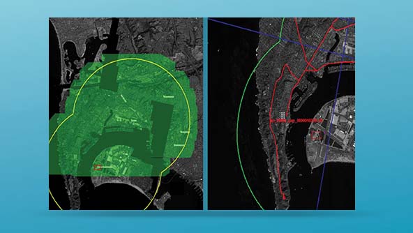
Advanced tools for quick and accurate broad area search of vast landscapes in digital imagery in one seamless environment
-
 Extension
An integrated extension that combines asset and spatial data, providing access to accurate and up-to-date information
-
×Human-Assisted autonomyTwo automatic extraction methods in one product.
-
-
 Extension
A streamlined and flexible expansion with 3D, NITF, DEM, stereo and registration support, all in one value-added package
-
×Human-Assisted autonomyIncludes automated image to image registration.
-
-
 Extension
Integrated tools to transform raw imagery into reliable data layers required for 3D visualization needs
-
×Human-Assisted autonomyAutomates precision measurement and facilitates flexible operations such as terrain editing and feature extraction.
-
 Extension
A single, cost-effective module that fully integrates ERDAS IMAGINE’s advanced interferometric processing capabilities
-
×Human-Assisted autonomyAutomated processing of Sentinel-1 data to easily extract information. Automatically processes input images to DEM products.
-
-
 Extension
Extensions to unlock the power of remote sensing and stereo photogrammetry inside ArcGIS
-
 Component
A versatile add-on for building custom components within multiple development environments to easily share information
-
 Component
A C++ toolkit for building, modifying and running sophisticated workflows on geospatial data
-
×Human-Assisted autonomyIncludes operators that can be configured to automatically perform complex GIS and remote sensing computations.
-
 Add-on Module
Connecting the world’s most widely used remote sensing software package to the world’s largest repository of data and processing