Airborne Mapping Software
Leica Geosystems' comprehensive airborne software provides the highest productivity for mission planning and data processing.
Ready to get started?
Talk to an expert and discover what Hexagon can do for your organization.
-
 Product
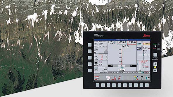
Leica FlightPro is a flight management and sensor-control system, making surveys more effective for Leica's airborne sensors.
-
×Partial autonomyLeica FlighPro supports pilots and sensor operators in-flight to successfully complete mapping missions.
-
-
 Product
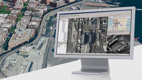
A multi-sensor post-processing platform for airborne sensors. Enables creation of all known data products in one interface.
-
×Partial autonomyLeica HxMap guides users through the geospatial data production process from data injest to product delivery.
-
-
 Product
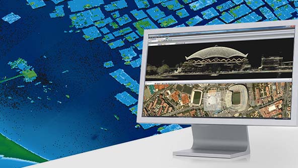
Leica Xpro is the highly efficient production workflow for the Leica ADS airborne digital camera.
-
×Partial autonomyLeica XPro guides users through the geospatial data production process from data injest to product delivery.
-
-
 Product
A post-processing software suite that increases post-processing productivity for bathymetric LiDAR sensors.
-
×Partial autonomyLeica LiDAR Survey Studio guides users through the geospatial data production process from data injest to product delivery.
-
 Product
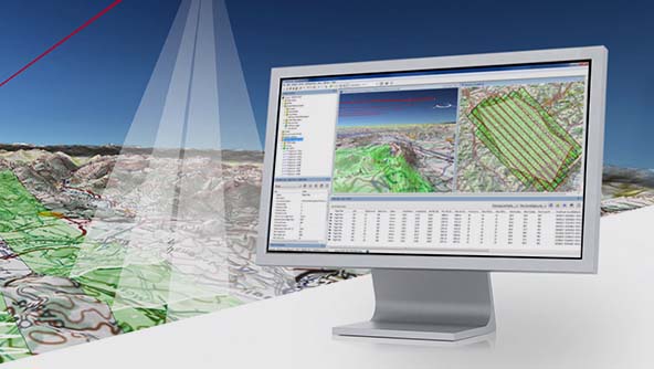
Advanced 3D mission-planning software for all Leica airborne sensors that simplifies and speeds up mission planning.
-
×Partial autonomyLeica MissionPro helps users define the optimal flight plan to execute mapping missions.
-
$ProductName
$SustainabilityImpactLabel
$GreenGoalsLabel: $GreenGoalsContent
$ShortDescription
$SustainabilityCTABandHeadingLabel
$SustainabilityCTABandDescriptionLabel