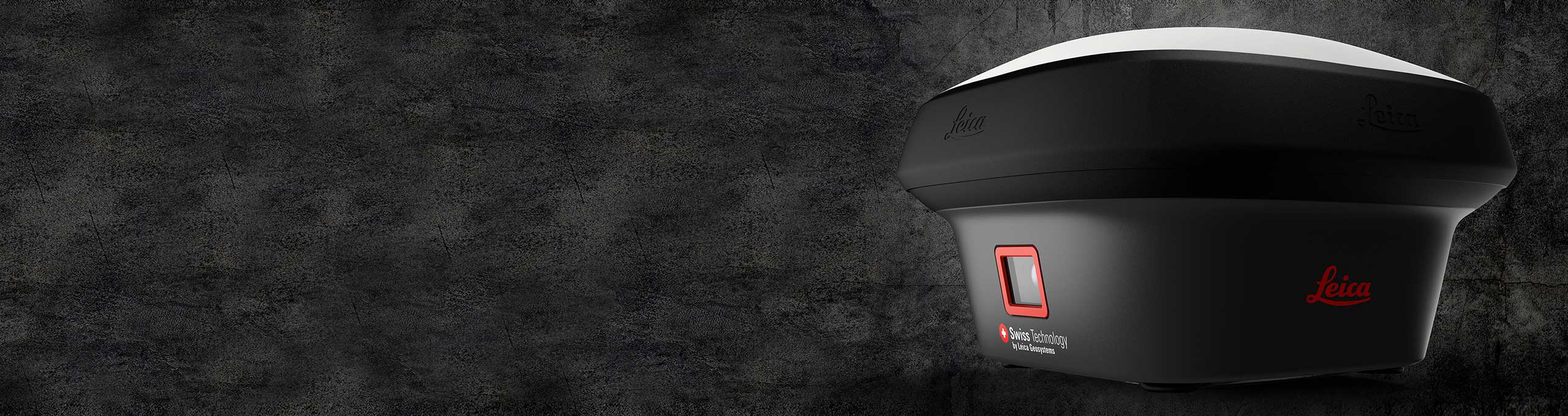
Measure what you see with Hexagon’s Leica GS18 I GNSS RTK rover
Hexagon has introduced a powerful new tool that enables professionals to measure exactly what they see.
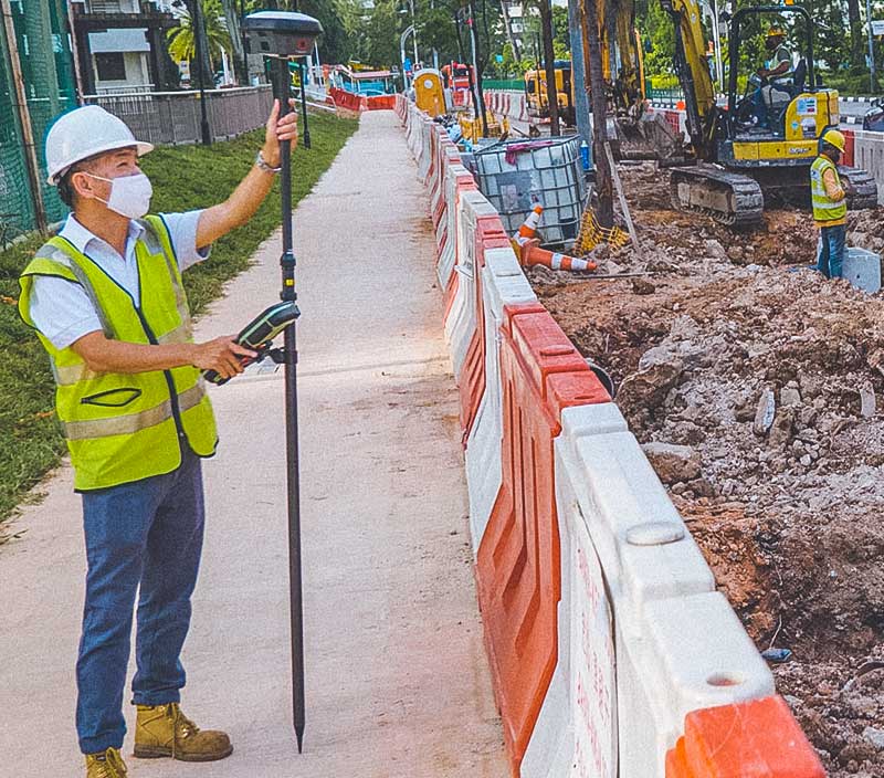
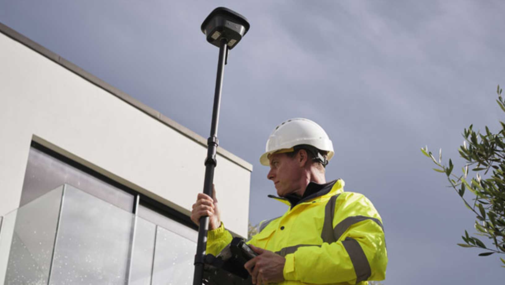
A versatile, survey-grade GNSS RTK rover with Visual Positioning, Leica GS18 I is a solution designed to measure efficiently, capturing images and measuring hundreds of points within minutes. With the use of satellite (GNSS), motion (IMU) and image (camera) technology, the Leica GS18 I offers survey-grade accuracy from images in either the office or the field.
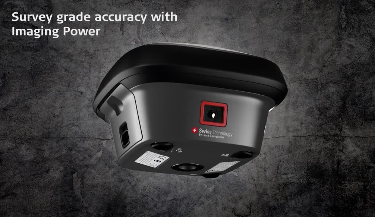
This new solution can measure points with obstructed view more efficiently while easily capturing points which couldn’t be reached before with immunity from magnetic disturbances. With Leica GS18 I, time spent on-site is reduced, revisits are minimised and productivity is maximised, ultimately increasing profits.
"The ability to quickly document an entire area of interest without the need to switch between tools or maneuver through obstacles frees up equipment and crews," said Ola Rollén, Hexagon President and CEO. "Additionally, the simple and intuitive workflow of the Leica GS18 I brings the versatility of visual positioning to new user segments and applications - from utility service providers to crash scene investigators."
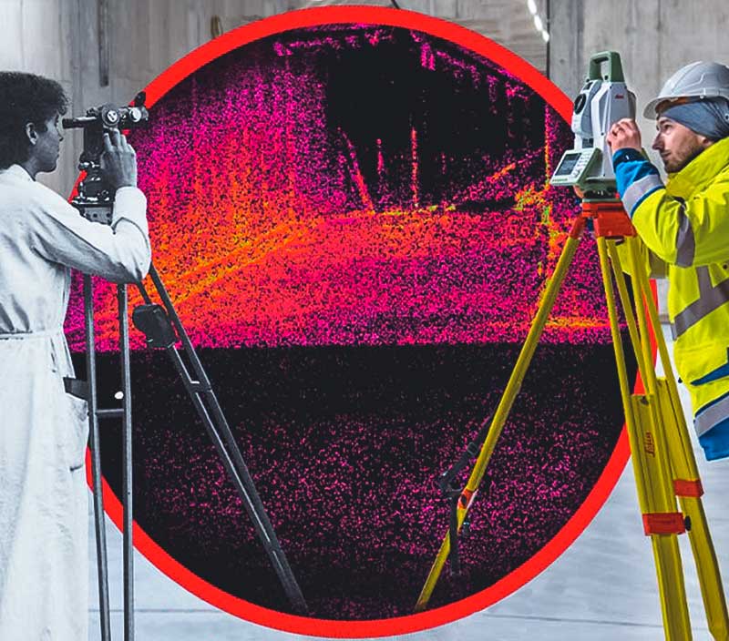
Integration with Leica Captivate field software enables intuitive onsite point measurements and quality assurance from the field. Further measurement of the captured images is supported by integration with Leica Infinity office software, which also enables the creation of automatically registered and referenced 3D point clouds from the images in standard export formats for use in a variety of point cloud software.
- Learn more
-
Leica GS18 I GNSS RTK roverLearn more about how mapping and surveying just got simpler, safer and more productive.