GeoCompressor
See GeoCompressor in action
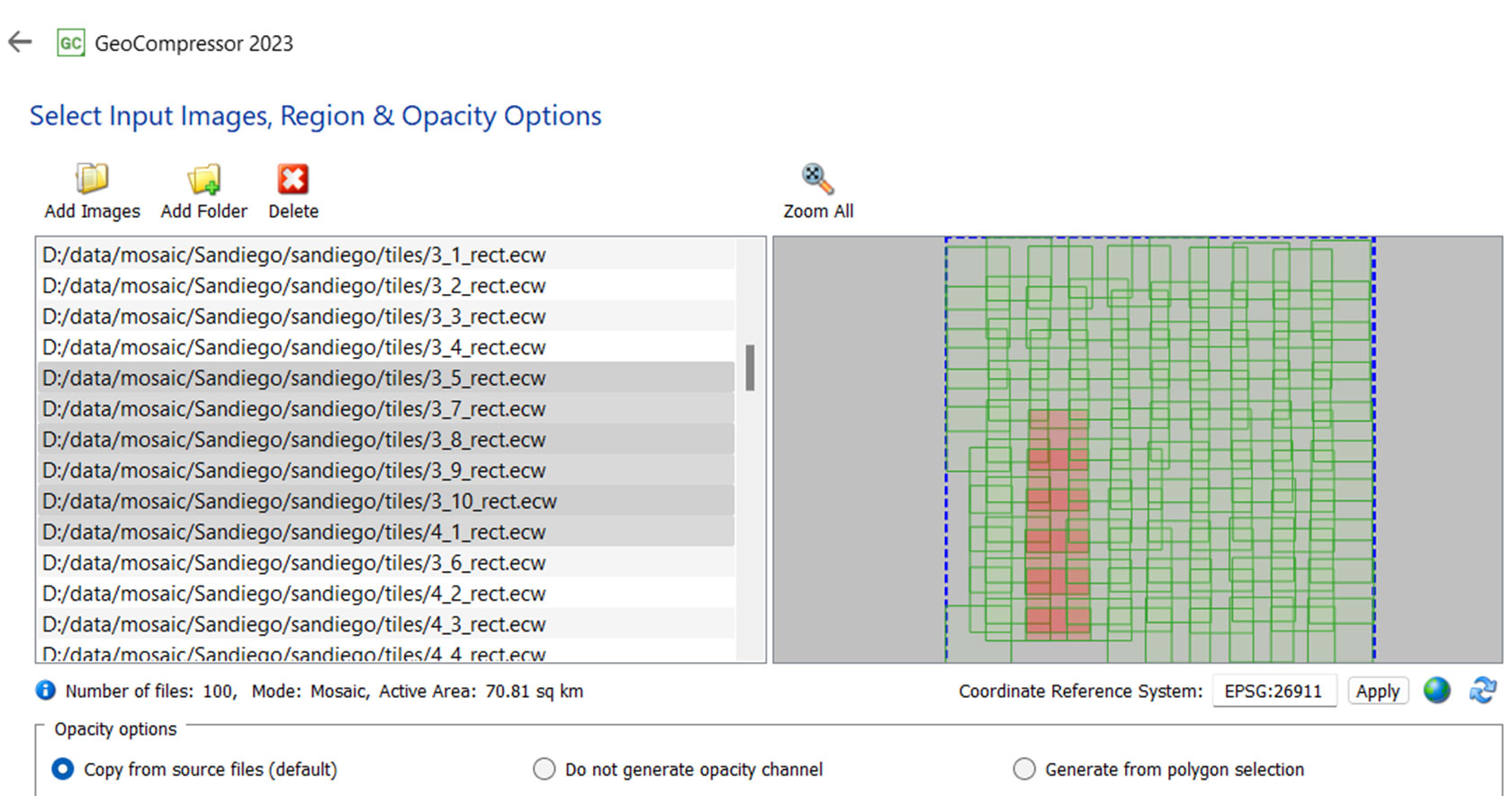
Mosaic a set of input images to a single output image with just a few clicks.
More about GeoCompressor
Learn more about what GeoCompressor has to offer in this brochure.

What's new in GeoCompressor 2023?
Discover a new dataset search utility, performance improvements and more.
Request pricing
I am interested in finding out more about pricing.
GeoCompressor overview
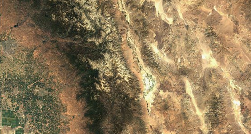
Do you work in an industry where you use massive, high-resolution images or point clouds? GeoCompressor lets you compress massive imagery or point clouds into much smaller files that are visually lossless, meaning that you cannot tell they are compressed by looking at them.
Using GeoCompressor, you can:
- Compress terapixel-sized imagery or point cloud files with billions of points
- Compress thousands of image files into a single mosaic
- Update a region within an existing mosaic instead of having to recreate the mosaic every time a region in it changes
- Clip to a polygon boundary to add the flexibility to create output products in accordance with arbitrary polygon definitions
GeoCompressor capabilities
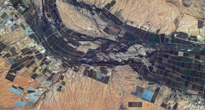
Image compression
GeoCompressor allows you to input over 100 supported file types and output compressed Enhanced Compression Wavelet (ECW) and JPEG2000 (JP2) files.
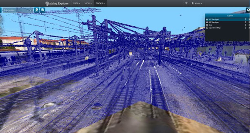
Point cloud compression
GeoCompressor compresses LAS/LAZ files to Hexagon Point Cloud (HPC) files. HPC format is significantly faster and more detailed than existing storage formats.
Unprecedented performance
Throughput in excess of 180 MB/sec on commodity hardware and terapixel output images, make GeoCompressor the most high-performance mosaicking and compression tool on the market regardless of imagery size or amount.
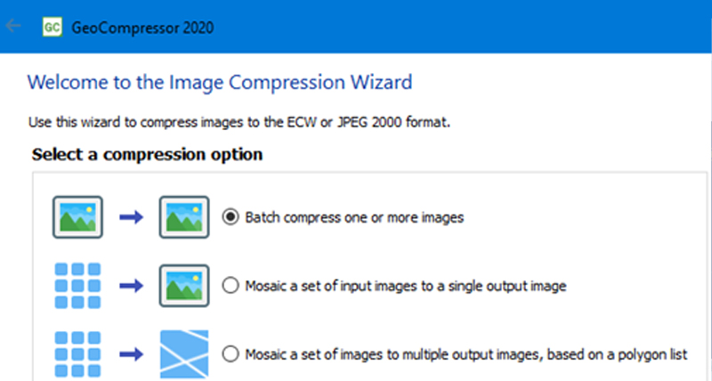
Just a few clicks
The simple wizard provides both a streamlined compression process mode as well as command-line mode for more control over resulting files.
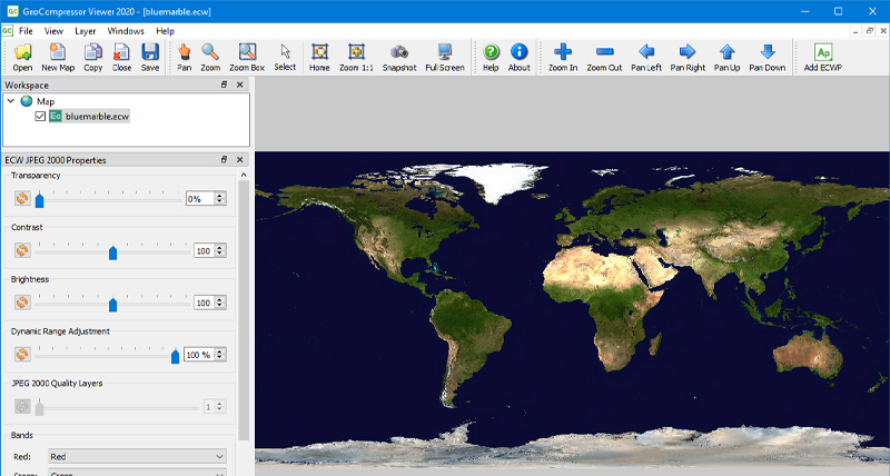
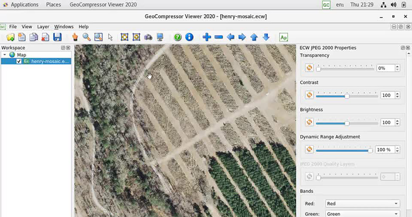
Free GeoCompressor Viewer included
The free GeoCompressor Viewer application is a ECW and JPEG 2000 image viewer. It can also view imagery over the internet via the ECWP protocol from an ERDAS APOLLO Server.

Support portal
Visit our online home for customer support, software licensing, product tutorials, user community engagement and more.
-
Brochures
-
Case studies
-
White papers
-
Technical documents
-
Blogs