Post-processing positioning for mapping applications
Enhance your position, velocity and attitude accuracy with post-processing software.
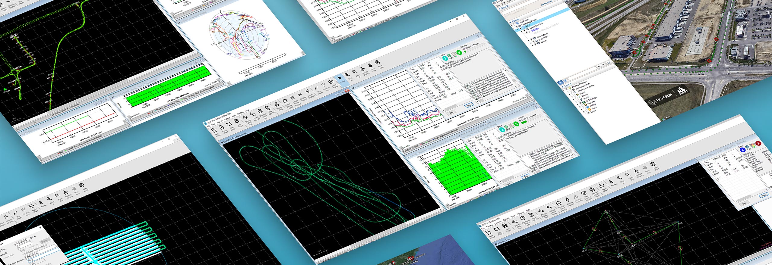
Waypoint post-processing software
Waypoint is best-in-class GNSS and GNSS+INS post-processing software.
Hexagon’s solutions provide accurate post-mission position, velocity and attitude for mapping applications. Waypoint post-processing software maximises the accuracy of the solution by processing previously captured Global Navigation Satellite System (GNSS) and Inertial Measurement Unit (IMU) data, including other relevant position, velocity, and attitude (PVA) updates from sensors such as a Distance Measurement Unit (DMI).
Overview
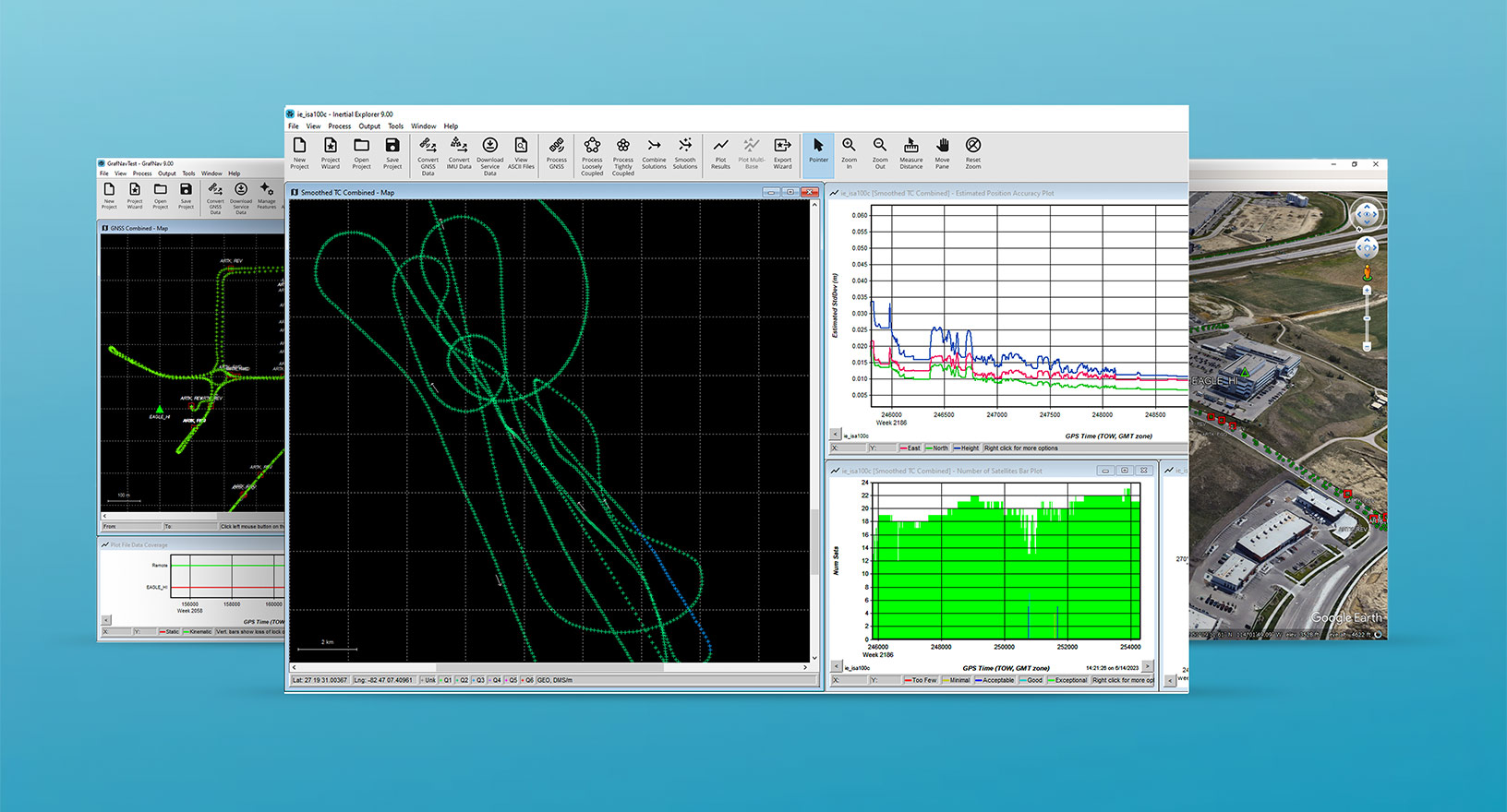
Hexagon’s GNSS post-processing solutions are ideal to use when needing accurate post-mission localisation for mapping applications. Our Waypoint post-processing software processes data forward and reverse in time then smooths and combines the results, providing a highly accurate position, velocity and attitude trajectory. This solution also assesses reliability and accuracy of the output with quality analysis plotting tools and provides flexible results exporting options.
Explore
$ProductName
$SustainabilityImpactLabel
$SustainabilityCTABandHeadingLabel
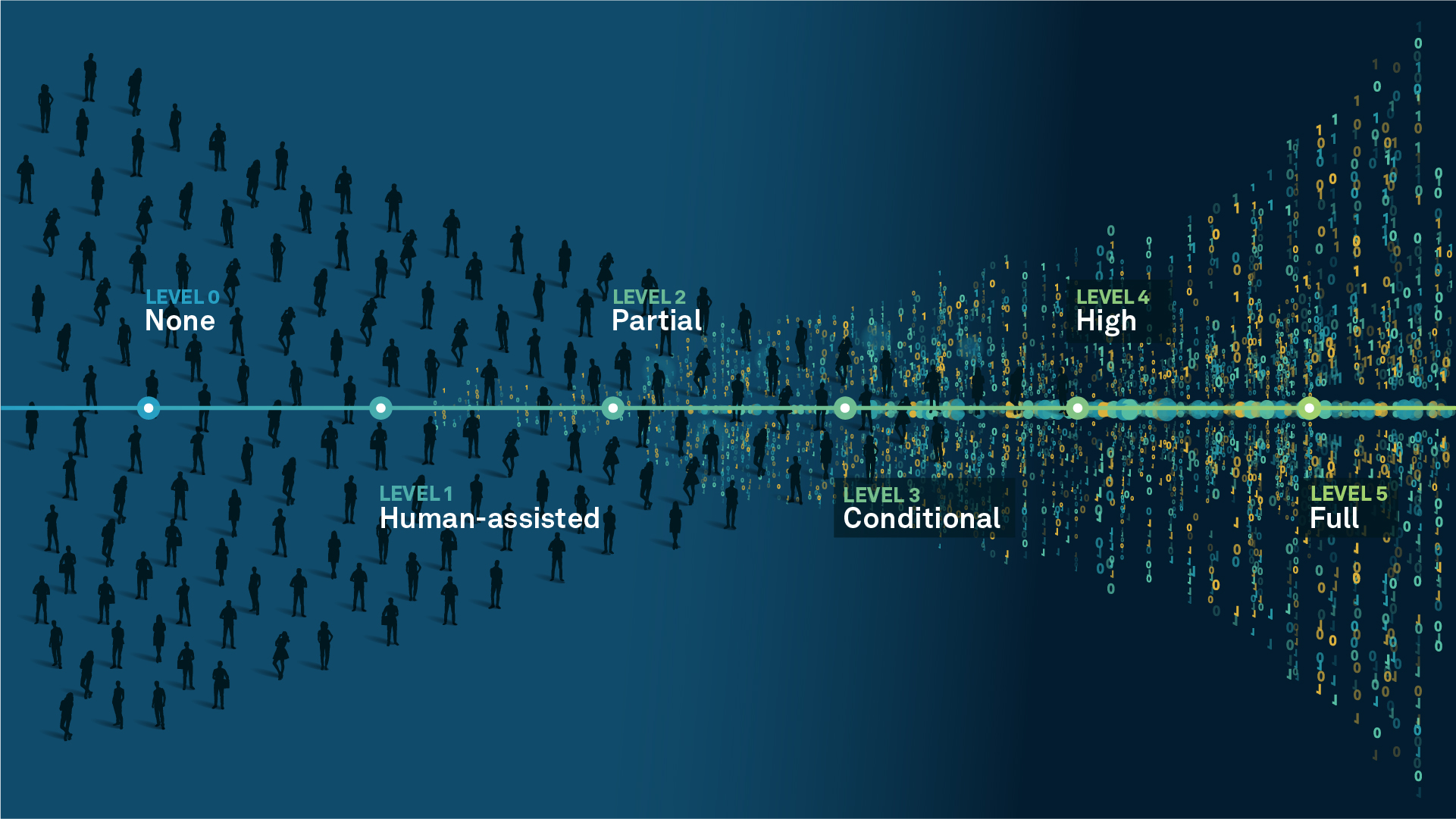
We’re climbing the automation curve
Our transition to Intelligent automation is accelerating. Ultimately, our innovations will give rise to new technologies and applications - many of which we’ve yet to imagine. Today, every Hexagon solution is mapped and tagged according to its level of automation, so customers can clearly track our progress towards the freedom of autonomy.
Human-driven
All tasks completed by human labour; no data is leveraged across the operation.
Human-assisted
Labour is primarily conducted by a human workforce. Some functions have been automated to simplify control.
Partial automation
Some tasks are automated for short periods of time, accompanied by occasional human intervention.
Conditional automation
Human workforce is used for intervention as autonomous operations begin to increase productivity.
Highly autonomous
Autonomous systems complete required tasks within specific bounds, unleashing data and building smart digital realities.
Full autonomy
A smart digital reality™ enables autonomous systems to complete all tasks without human intervention.

Land
Products that make an environmental impact in forest monitoring, material reusability, farming or water usage.

Air
Products that make an environmental impact in renewable energy, noise pollution elimination and e-mobility.

Water
Products that make an environmental impact in saving our oceans, reducing pollution and increasing access to clean water.