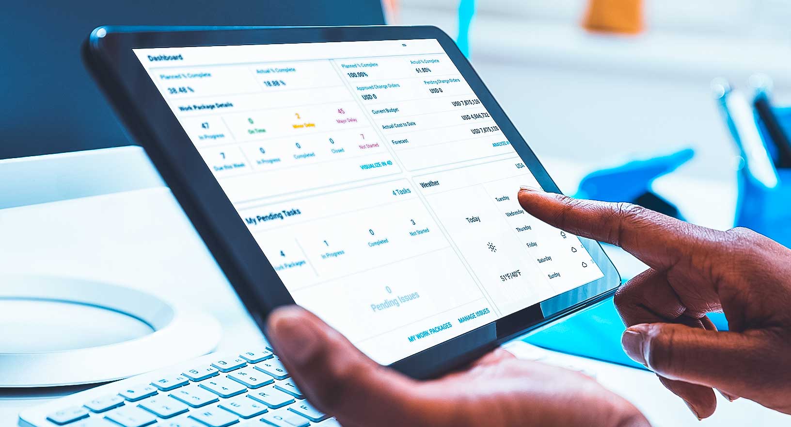
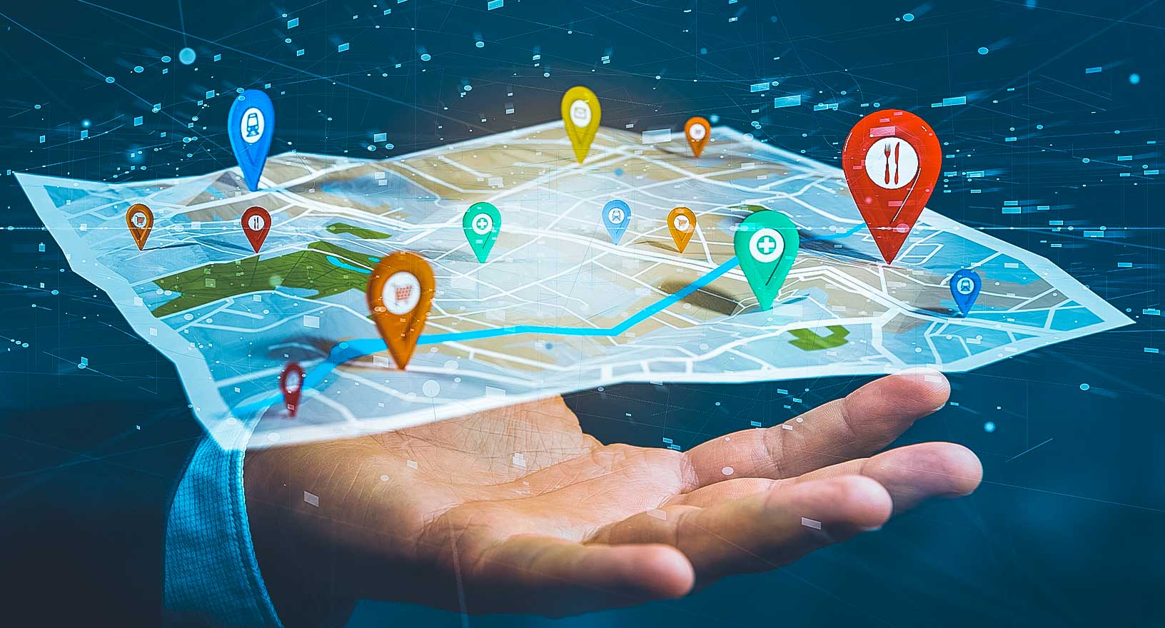
Map-based Dashboards and Apps
Create dynamic maps, dashboards and applications to improve services, assets and more.
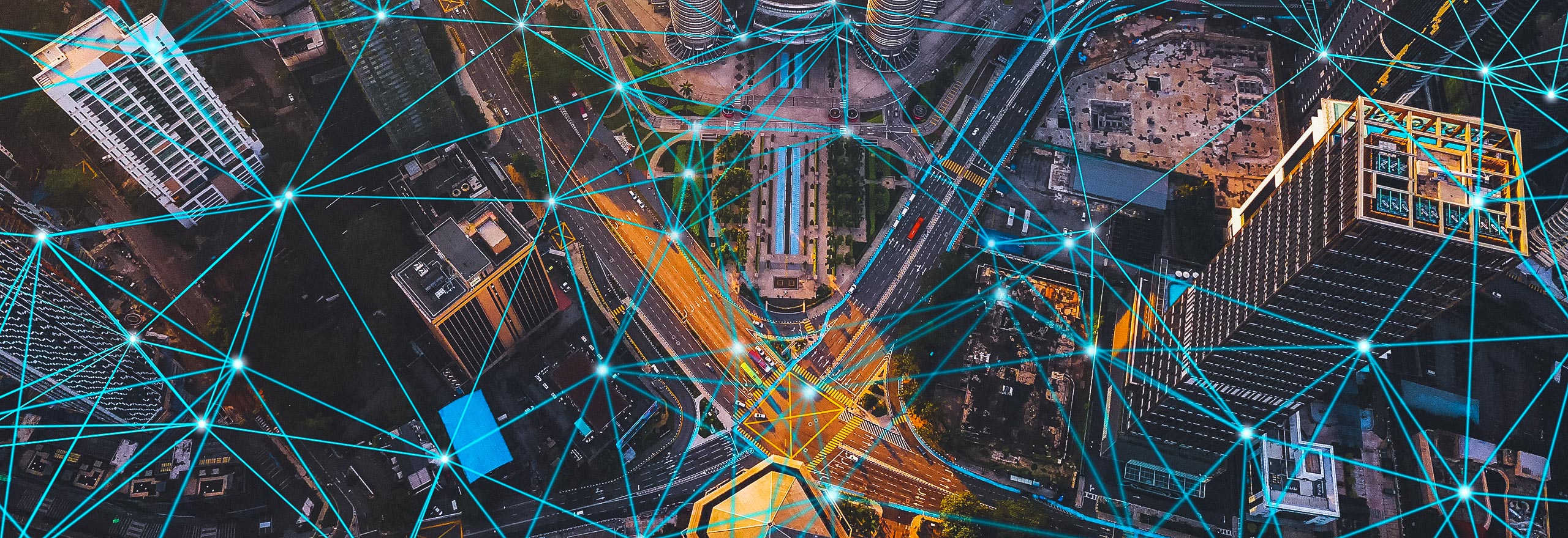
Urban digital twins and climate change
In this white paper, learn how cities can use an urban digital twin to solve specific challenges and create value for officials and residents.
Hexagon gives governments and businesses the ability to create dynamic geospatial dashboards and applications that monitor, evaluate and operationalise data from maps, imagery, IoT sensors, real-time feeds, databases and more to improve their services.
-
Public safety
-
Public services
-
Transportation
-
Utilities
-
Mapping
From high-profile events to daily operations, Hexagon's dynamic map-based dashboards and applications help public safety agencies make data-driven decisions to improve citizen and community safety. With our platforms, police and other emergency services can leverage maps and imagery, monitor real-time data, analyse and report crime and incident trends and more.

With our geospatial platforms, government authorities and departments can visualise, analyse and share location-based information impacting residents, infrastructure and services. Our map-based solutions improve planning, streamline administration and enhance daily operations for land and property administration, public works, emergency management and numerous other public services.

From fleet management to network operations to service optimisation, Hexagon’s dynamic map-based dashboards and applications combine spatial data with real-time information about passengers, assets and more to help transportation authorities and departments improve planning, operations and maintenance, service reliability and safety.
Hexagon’s dynamic map-based dashboards and applications help utilities and telecommunication companies monitor and analyse information about their networks, assets, service territories, customers and more. Our geospatial platforms streamline planning and operations processes and help decision-makers obtain greater insights about their services and networks.

With our geospatial platforms, any organization can embed location-based visualisation, analysis and capabilities into their workflows. From sharing maps to empowering customers and employees to deriving greater insights into services and operations, Hexagon’s dynamic map-based dashboards and applications help mapping providers and location-enabled services improve their productivity, effectiveness and outcomes.
Explore products
$ProductName
$SustainabilityImpactLabel
$SustainabilityCTABandHeadingLabel
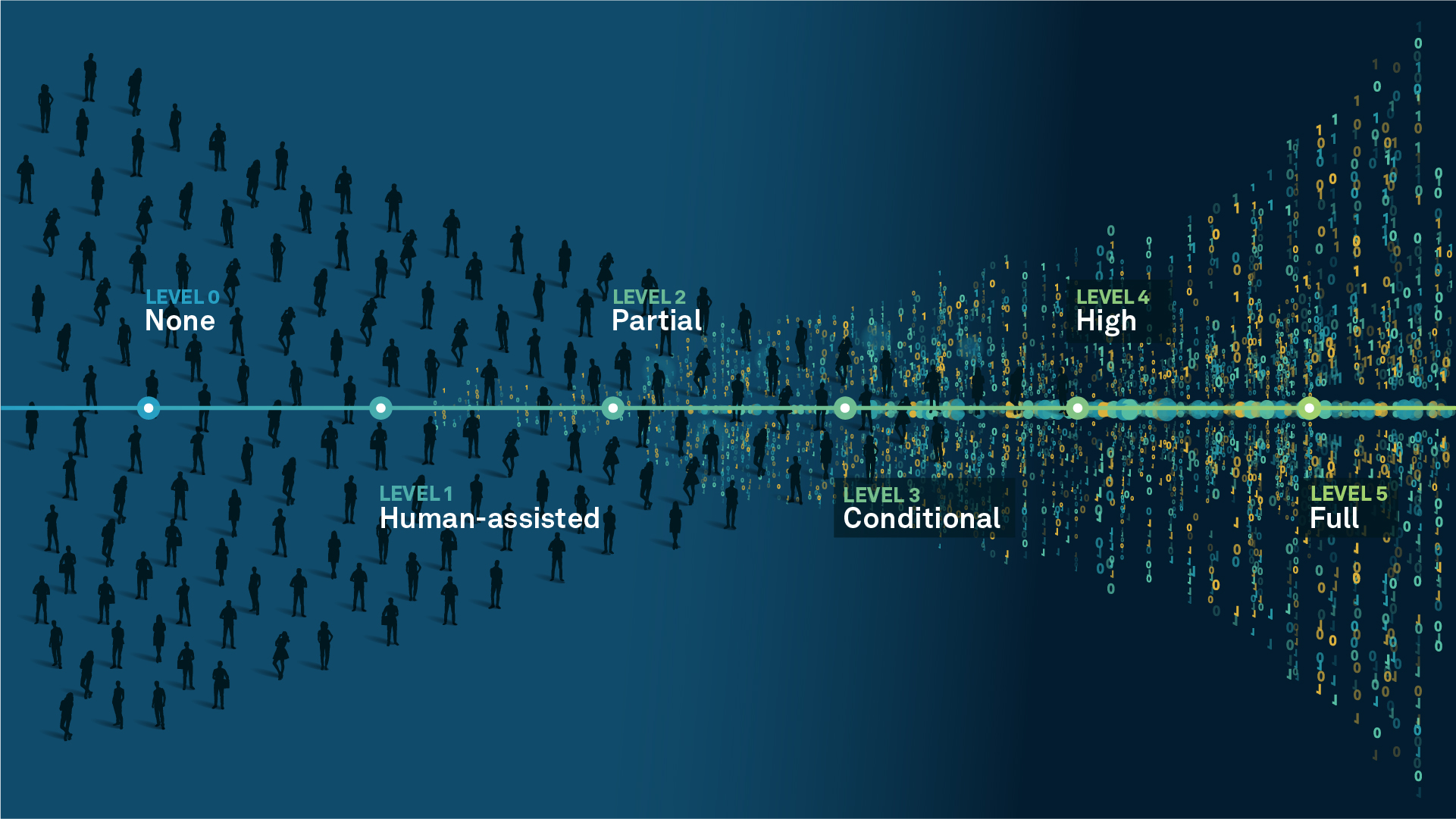
We’re climbing the automation curve
Our transition to Intelligent automation is accelerating. Ultimately, our innovations will give rise to new technologies and applications - many of which we’ve yet to imagine. Today, every Hexagon solution is mapped and tagged according to its level of automation, so customers can clearly track our progress towards the freedom of autonomy.
Human-driven
All tasks completed by human labour; no data is leveraged across the operation.
Human-assisted
Labour is primarily conducted by a human workforce. Some functions have been automated to simplify control.
Partial automation
Some tasks are automated for short periods of time, accompanied by occasional human intervention.
Conditional automation
Human workforce is used for intervention as autonomous operations begin to increase productivity.
Highly autonomous
Autonomous systems complete required tasks within specific bounds, unleashing data and building smart digital realities.
Full autonomy
A smart digital reality™ enables autonomous systems to complete all tasks without human intervention.

Land
Products that make an environmental impact in forest monitoring, material reusability, farming or water usage.

Air
Products that make an environmental impact in renewable energy, noise pollution elimination and e-mobility.

Water
Products that make an environmental impact in saving our oceans, reducing pollution and increasing access to clean water.