Spatial Modeler SDK
Spatial Modeler SDK provides a C++ toolkit for building, modifying and running workflows on geospatial data.
Build your own geospatial workflows
Construct applications that interact with the user, spatial models and parts of ERDAS IMAGINE or GeoMedia.

Request pricing
Overview
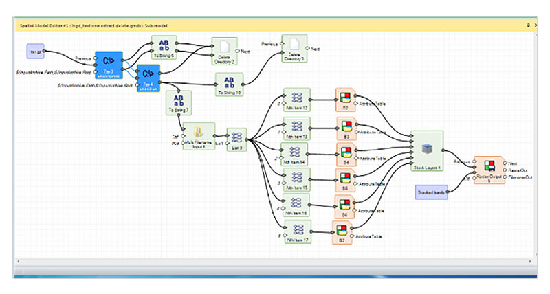
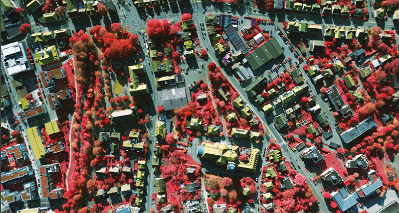
Spatial Modeler SDK is a C++ toolkit for building, modifying and running workflows on geospatial data. Intended for the experienced C++ programmer, this SDK can be used to build complex algorithms or simply to run routine tasks. It is extensible via a plugin mechanism where objects, such as operators, data types, and configuration dialogs, are discovered at runtime by demand-loading all DLLs found in a search path and identifying the Spatial Modeler objects implemented in those DLLs.
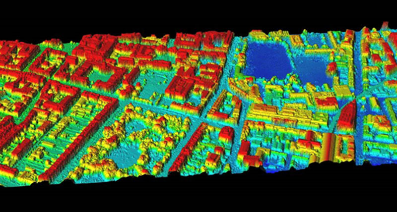
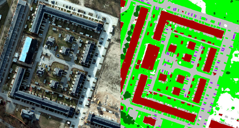
Spatial Modeler SDK can be used to build add-ons to ERDAS IMAGINE and GeoMedia or it can be used to build and run workflows within your own product. Built on decades of experience in handling raster, vector and point cloud information, including SAR, hyperspectral, databases, LiDAR and more, this is a unique offering for extending your Hexagon products.
Capabilities
Build extended algorithms or run routine tasks
Build add-ons
Build and run workflows
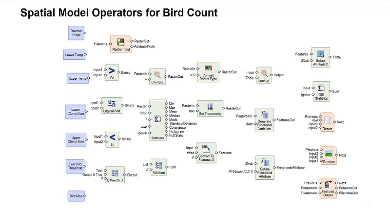
Wildlife application
On-demand spatial analysis