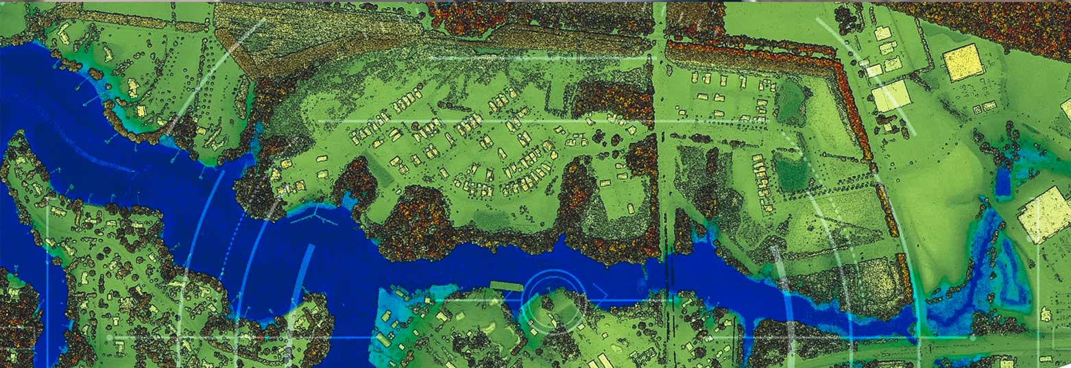
Airborne solutions
Integrated airborne sensors and processing workflows offer complete solutions to address your specific application needs.

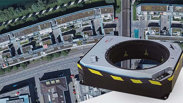
Leica RealCity urban mapping solution
The airborne mapping solution specifically designed for smart city applications.
Leica RealTerrain
Highest LiDAR mapping efficiency for large-area projects.
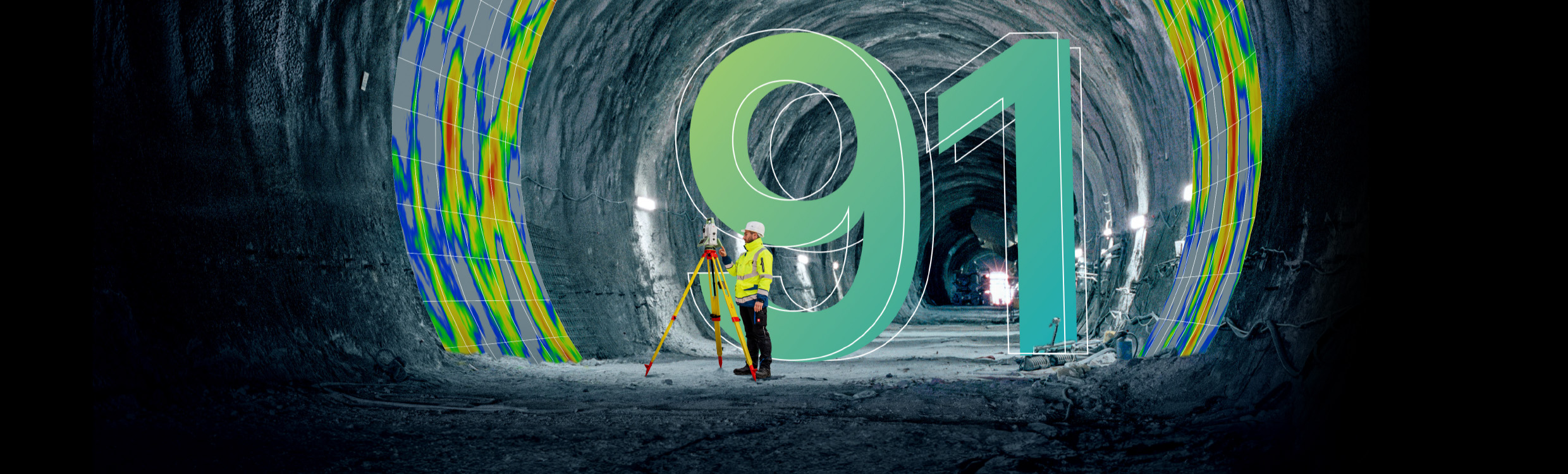
Reporter 91
Data Unlocked — How actionable insights bridge the gap between data and knowledge
Ready to get started?
Talk to an expert and discover what Hexagon can do for your organization.
-
 Category
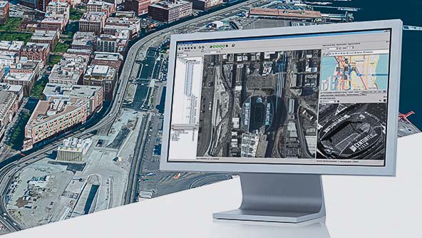
Leica Geosystems' comprehensive airborne software provides the highest productivity for mission planning and data processing.
-
 Category
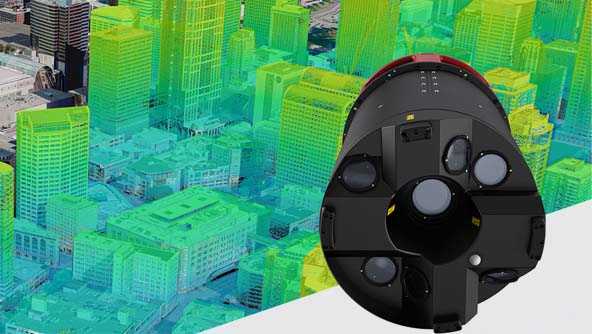
Leica Geosystems airborne solutions offer sensor technology and processing workflows for efficient mapping.
-
 Category
Leica Geosystems high-performance sensor mounts provide precise stabilisation during flight for the best data quality.
$ProductName
$SustainabilityImpactLabel
$GreenGoalsLabel: $GreenGoalsContent
$ShortDescription
$SustainabilityCTABandHeadingLabel
$SustainabilityCTABandDescriptionLabel