Mobile mapping systems
Mobile mapping systems efficiently collect geo-information and geo-data with a moving (kinematic) sensing platform.
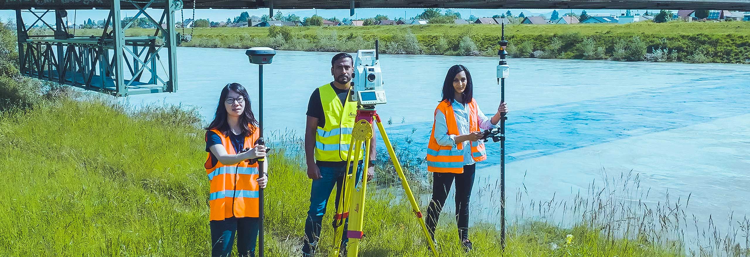
Putting the serve into surveying
Incorporating service innovation into the DNA of your business, will propel you to a bright future.
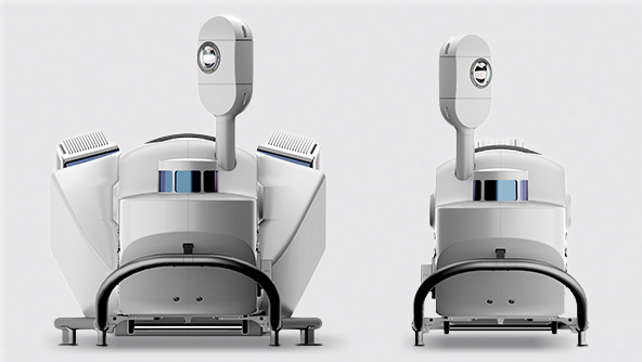
Leica Pegasus TRK Neo: a complete mobile reality capture solution
Transforming mobile mapping with autonomy, intelligence and simplicity through next-generation AI-enhanced capabilities
Ready to get started
Complete mobile mapping provider
Ideal for applications that require long-range mobile mapping, delivering the highest levels of detail in data collection for digital twin creation. Our mobile mapping systems are designed for asset management and construction of road, rail and critical infrastructure, the oil, gas and electricity industries, smart city modelling and simulation applications, as well as monitoring coastal erosion and canals.
-
 Product
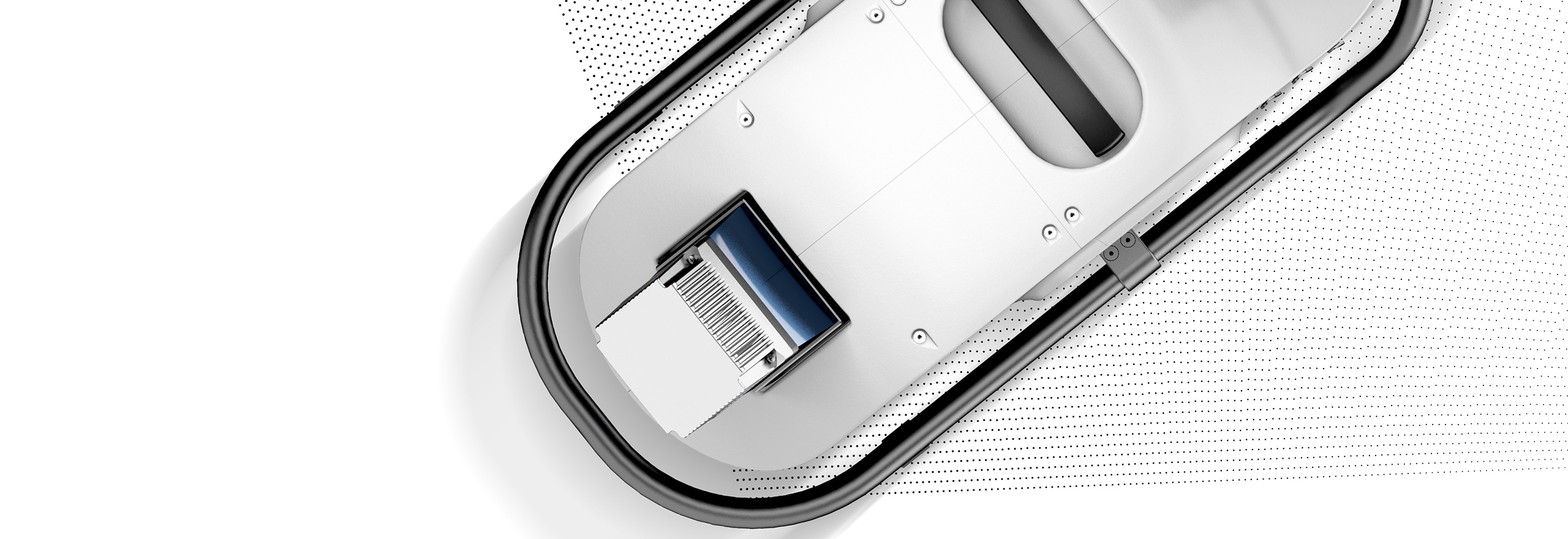
Leica Pegasus TRK Neo is a complete mobile mapping solution to capture, and post-process acquired data.
-
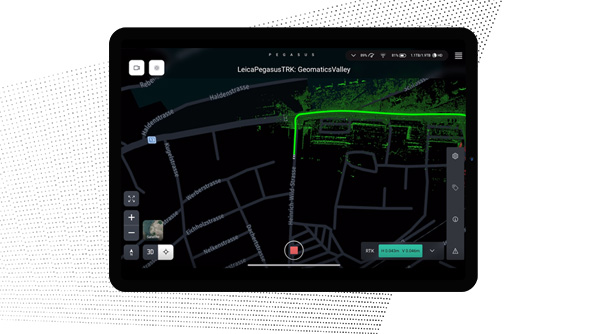
×Human-Assisted autonomyTravel along a route and activate specific functions to automate data capture.
-
-
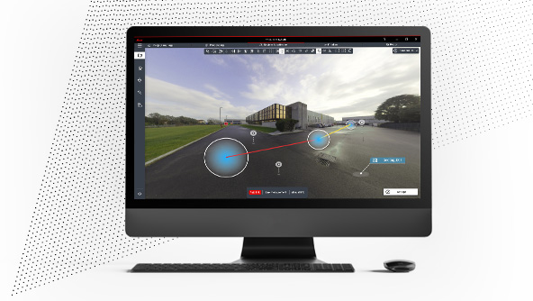
 Product
Plan and execute projects with visual and audio feedback along the route to make data collection failure a thing of the past.
-
×Human-Assisted autonomyDedicated processing workflows in the field are automated to increase efficiency and collaboration.
-
-
 Product
Deliver high-resolution point clouds with classification, anonymised images and exchangeable formats in one batch-process.
-
×Human-Assisted autonomyDedicated processing workflows in the office are automated to increase efficiency and collaboration.
-
-
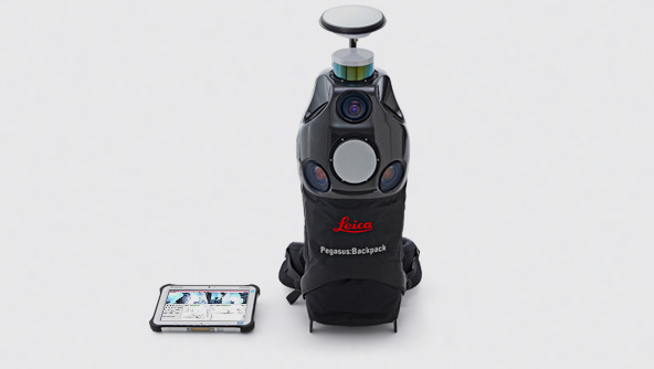 Product
Leica Pegasus:Backpack wearable mobile mapping solution is a versatile platform for indoor and outdoor reality capture.
-
×Human-Assisted autonomyWearable platform autonomously capturing point clouds, imagery and positioning data indoors and outdoors when walking.