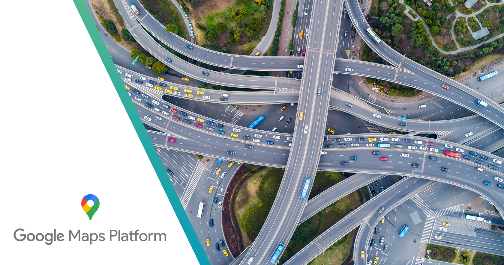
Google Maps for transportation and logistics
Putting the Google Maps Platform to work for transportation
Watch our webinar on-demand to learn how Google Maps opens up new transportation business models with its efficient, cost-saving routing capabilities.
Request pricing
Benefits
Efficient operations

Reliable services

Optimized experience
Capabilities
-
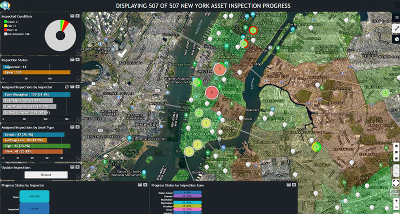
Fleet, asset and field services management
With Google Maps Platform, you have the location-based tools to support fleet, asset, and field services management for better planning and operations. With it, you can:
- Enhance asset and work management systems with premium location-based content and capabilities
- Understand where assets are located, where they’ve traveled, and how often they’ve moved
- Create efficient routes for even the most complex fleet itineraries
- Track and visualize connected assets with precise location data
- Obtain the information needed to optimize performance, routes, fuel usage, and maintenance
APIs that support fleet, asset, and field services management include:
- Maps APIs display static and dynamic maps, including Street View images
- Geocoding API converts addresses to geographic coordinates, or the reverse
- Places API sends drivers to precise addresses based on reported locations
- Directions API provides directions and calculates current and future travel times based on real-time traffic
- Distance Matrix API delivers travel times and distances for one or more locations
- Roads API creates precise itineraries and returns posted speed limits for given road segments
-
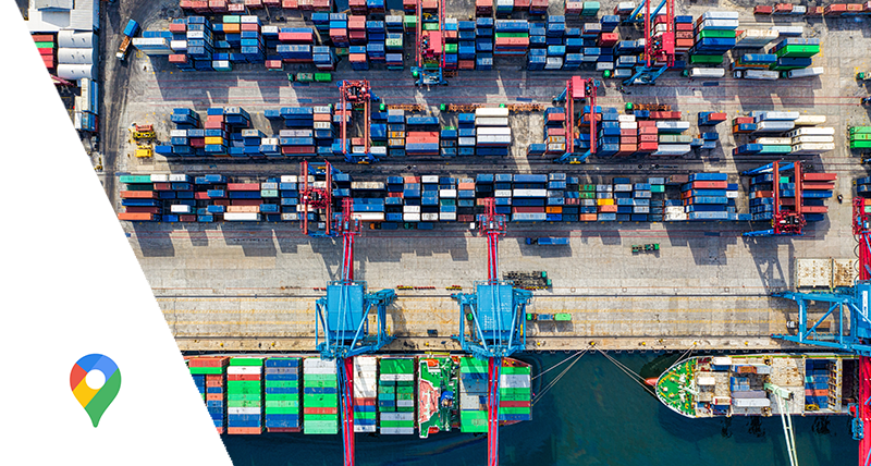
Shipping and delivery
Google Maps Platform supports all types of shipping and delivery needs, from global shipping to last-mile delivery, providing the location-based content and capabilities needed for logistics and supply chain success. With it, you can:
- Enable customers and carriers to conduct shipping transactions
- Power e-commerce and last-mile deliveries
- Plan routes and provide directions based on rich location and real-time traffic data
- Combine with telematics and track the real-time location of cargo and vehicles
APIs that support shipping and delivery include:
- Maps APIs display static and dynamic maps
- Geocoding API converts addresses to geographic coordinates, or the reverse
- Places API sends drivers to precise addresses based on users’ reported locations
- Directions API provides directions and calculates current and future travel times based on real-time traffic
- Distance Matrix API delivers travel times and distances for one or more locations
- Roads API creates precise itineraries by determining the route traveled and nearest roads along the way
-
Ridesharing
With the ability to build premium content and capabilities into your apps, Google Maps Platform enables disruptive transportation business models, like ridesharing. With it, you can support single and multi-occupancy ridesharing, independent driver models, and other public and private programs, like public transit, school systems, and corporate and university shuttles. With Google Maps for ridesharing, you can:
- Help drivers get to locations faster and safer with navigation and dynamic re-routing
- Deliver great customer experiences with accurate wait times and optimized routes
- Obtain the information needed to optimize routes, decrease idle time, improve wait times, and create business efficiencies
APIs that support ridesharing include:
- Maps APIs display static maps, including Street View images
- Geocoding API converts addresses to geographic coordinates, or the reverse
- Places API sends drivers to precise addresses based on users’ reported locations
- Directions API provides directions and calculates current and future travel times based on real-time traffic
- Distance Matrix API delivers travel times and distances for one or more locations
- Roads API creates precise itineraries by determining the route traveled and nearest roads along the way
More information

Mozio simplifies airport transportation