Leverage your geospatial data with GeoMedia for GIS and mapping
Your flexible and dynamic GIS management solution.
See GeoMedia in action
From updating land records to studying traffic flow, GeoMedia extracts compelling intelligence from geospatial data to present actionable information.
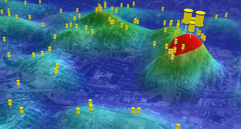
A single map view to process, analyse, present and share data
GeoMedia helps you extract information from an array of dynamically changing data to make informed, smarter decisions.
What's new in GeoMedia 2023?
Discover a new basemap capability, 3D display, expanded data access and more
Request pricing
GeoMedia overview
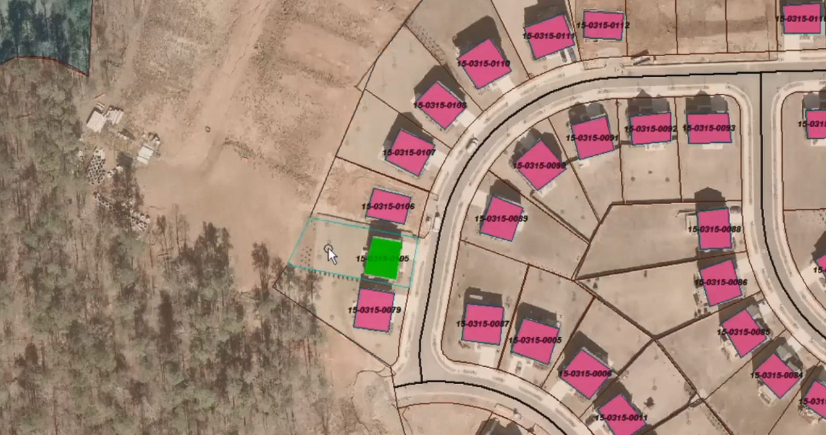
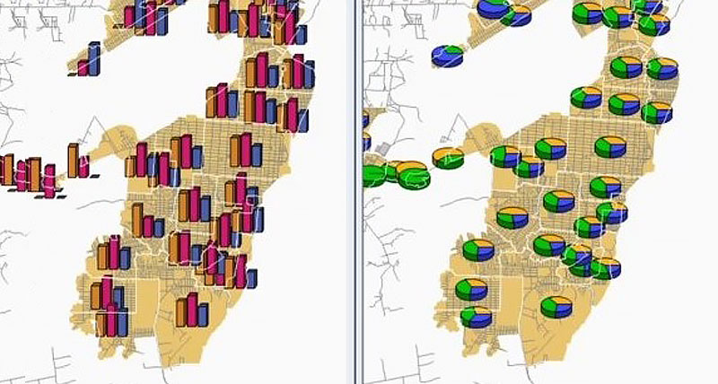
Maps present data visually, allowing you to visualize location and gain other information from your data. Making the information-gathering process easier—making a good map—requires powerful analytical tools and clear symbolization. Whether updating land and tax records, analyzing traffic flow and accidents, or determining the best locations for evacuation centers, GeoMedia combines tabular and geographic data to produce actionable information.
GeoMedia is a powerful, flexible GIS management platform that lets you aggregate data from a variety of sources and analyze them in unison to extract clear, actionable information. It provides simultaneous access to geospatial data in almost any form and displays it in a single unified map view for efficient processing, analysis, presentation, and sharing. GeoMedia's functionality makes it ideal for extracting information from an array of dynamically changing data to support informed, smarter decision-making.
GeoMedia capabilities
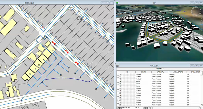
Adopt next-level automation for your utilities network

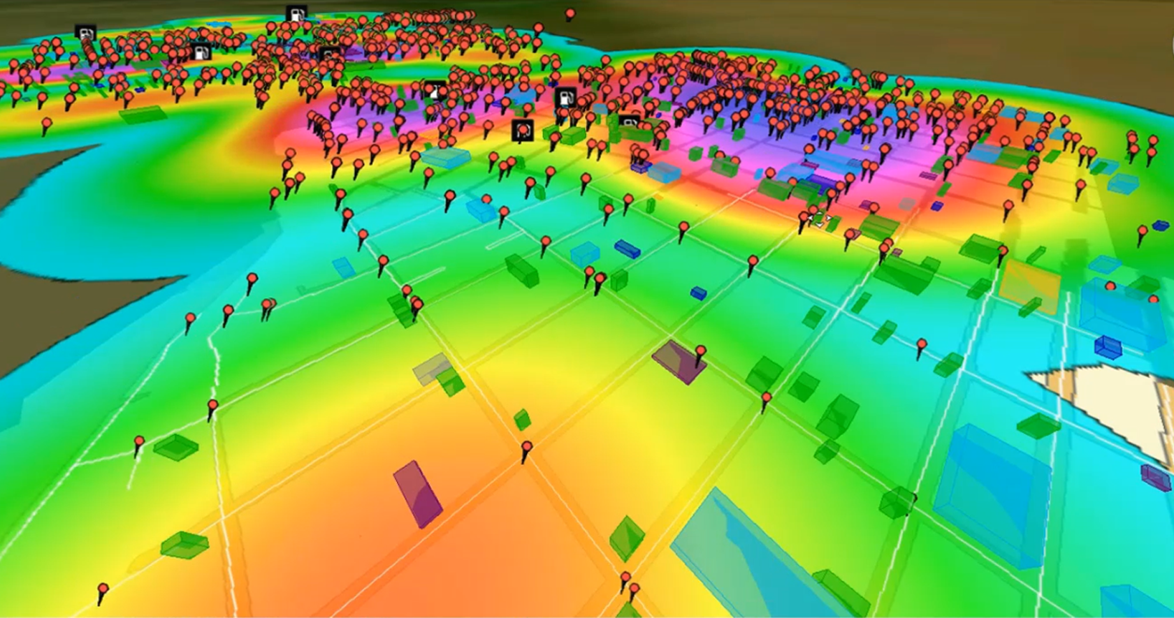
Get real-time data for smart cities
Generate actionable information for public safety
Ensure safe and maintained roads for travelers
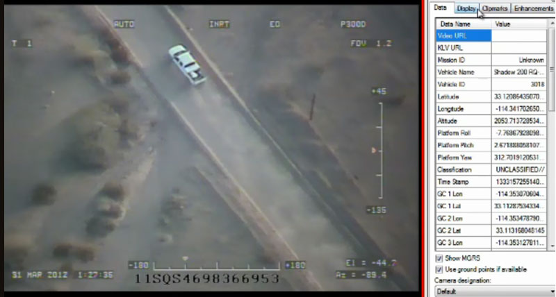
Make fast, mission-critical decisions for defense

Support portal
-
Brochures
-
Case studies
- Accurate data for social programmes
- Alberta uses geospatial solutions to manage complete road network
- Brasov city hall enhances information management
- Foundation of Bulgarian sea and river ports infrastructure built with GIS technology
- From raw data to national map updates with a single platform
- Improving city sanitation plans with the help of real-time data and accurate maps
- Managing river flood risks in Romania and Bulgaria
- Romanian energy network turns up the heat to improve efficiency
- Using artificial intelligence and machine learning for forestry management and monitoring
- Linear referencing systems: The foundation of operations
-
Videos
-
White papers
- Machine learning deep learning for geospatial applications
- Multilevel linear referencing system
- GIS point cloud integration
- Leveraging your GIS data within an integrated 3D environment
- Motion video exploitation - tools and techniques
- Public transportation for smart cities
- Preparing logistics for industry 4.0
-
Technical documents
-
Tutorials