Geospatial platforms
Whether you’re building real-time situational awareness applications or interactive dashboards that power your daily operations, our geospatial and location intelligence platforms give you the tools to improve custom experiences.

Warfare reimagined: Unlocking superiority
By embracing digital transformation, defence forces can ensure they're ready for the evolving landscape of modern warfare.

Tracking marine vessels in real time
The Irish Naval Service uses a solution built on Hexagon technology and provided by IMGS to monitor, report and analyze fishing activity.
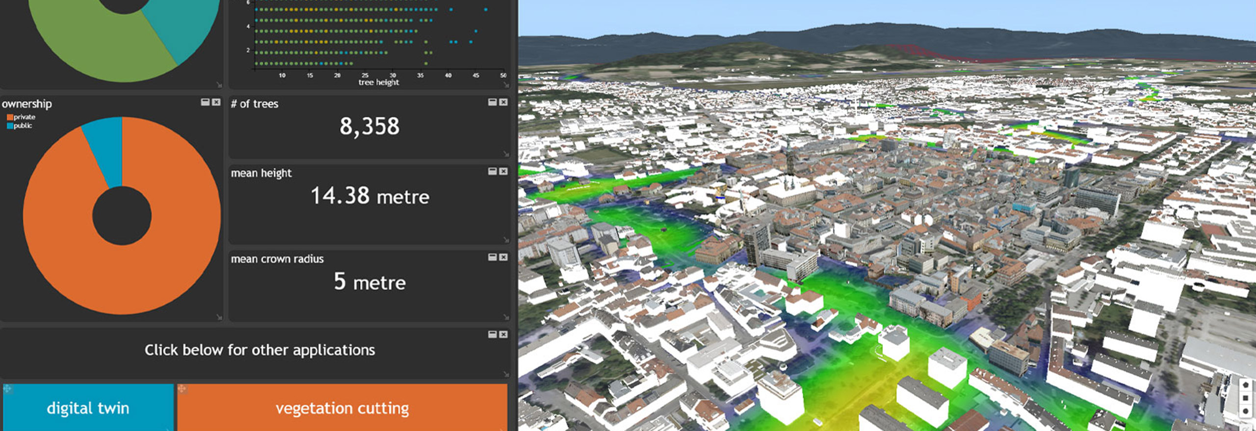
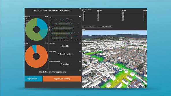
M.App Enterprise
M.App Enterprise lets you monitor any assets by processing all your operational data in a single platform.
-
 Platform
A platform for configuring applications featuring 2D and 3D maps, business intelligence tools and office-to-field workflows
-
×Partial autonomyTriggers human-defined workflows which can notify field units and mobile operators on incidents automatically.
-
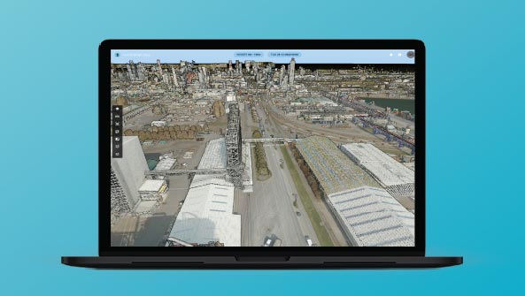
 Platform
A JavaScript API for building geospatial web applications that deliver desktop-like performance
-
×Partial autonomyProvides the foundations for advanced geospatial analytics applications that can be used to automate operations.
-
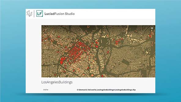
 Platform
An API for building mission-critical geospatial desktop and onboard applications in Java
-
×Partial autonomyProvides the foundations for advanced geospatial analytics applications that can be used to automate operations.
-
 Platform
An all-in-one server for managing and publishing large volumes of data efficiently to numerous applications
-
×Partial autonomyProvides the foundations for advanced geospatial analytics applications that can be used to automate operations.
-
 Platform
An API for building mission-critical geospatial desktop and onboard applications in C++ and C#
-
×Partial autonomyProvides the foundations for advanced geospatial analytics applications that can be used to automate operations.
-
 Platform
Google APIs from Hexagon for adding maps, routes and places capabilities to web and mobile apps
-
×Human-Assisted autonomyMaps can be updated automatically.
-
-
 Solution
APIs that enable asset management, field services and customer communications applications
-
×Human-Assisted autonomyMaps can be updated automatically.
-
-
 Solution
Location-based tools to support asset management, shipping and delivery and ridesharing
-
×Human-Assisted autonomyMaps can be updated automatically.
-
-
 Solution
Mapping capabilities for real estate listings, property management, insurance risk assessment and more
-
×Human-Assisted autonomyMaps can be updated automatically.
-
-
 Solution
Tools for embedding maps and location-based capabilities into government websites and apps
-
×Human-Assisted autonomyMaps can be updated automatically.
-
-
 Solution
APIs that help customers find businesses, complete purchases and receive deliveries on time
-
×Human-Assisted autonomyMaps can be updated automatically.
-
-
 Solution
Maps, routes and places APIs for college and university websites and apps
-
×Human-Assisted autonomyMaps can be updated automatically.
-
-
 Solution
Real-time location intelligence and data visualization for complex site operations